Hiking the Wichita Mountains of Oklahoma - The Forty Foot Hole
Hiking the Forty Foot Hole in Oklahoma’s Wichita Mountains
Explore the Forty Foot Hole trail in the Wichita Mountains Wildlife Refuge—an unforgettable hike through dramatic canyons, unique rock formations, and scenic views deep in the heart of Oklahoma.
Yes, there really are mountains in Oklahoma!
If you’re looking for a hike with big water and rock drama in Oklahoma, the Forty Foot Hole hike in the Wichita Mountains Wildlife Refuge is one you won’t want to miss. Nestled in the Dog Run Hollow Trail system, this roughly 2.6-mile loop along West Cache Creek takes you through creeks, rocky canyon walls, and shaded creekside terrain before opening up to the gorge known as Forty Foot Hole. With modest elevation gain (~225 ft) and terrain that’s mostly easy to moderate, it’s perfect for adventurers, photographers, or anyone who loves hikes with water features.
Whether you’re based in Lawton, Oklahoma City, or anywhere in south-central OK (even Tulsa), this trail delivers classic Wichita Mountains scenery without needing a full backpacking trip.
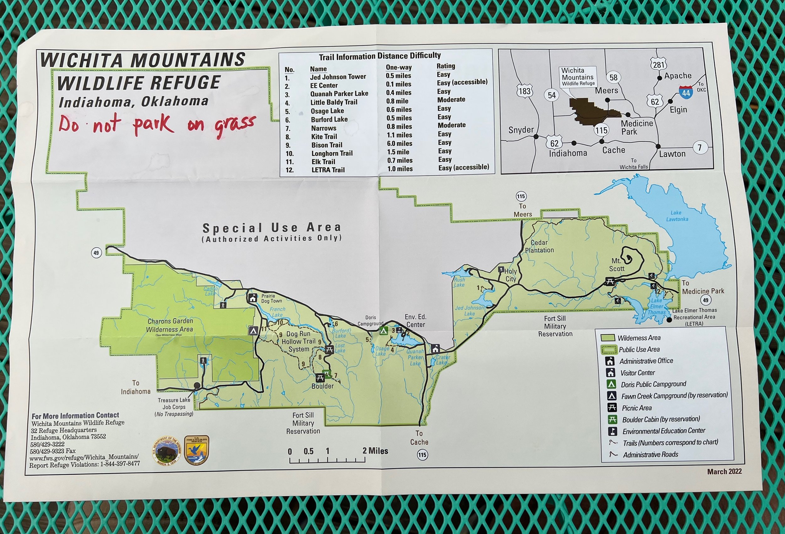
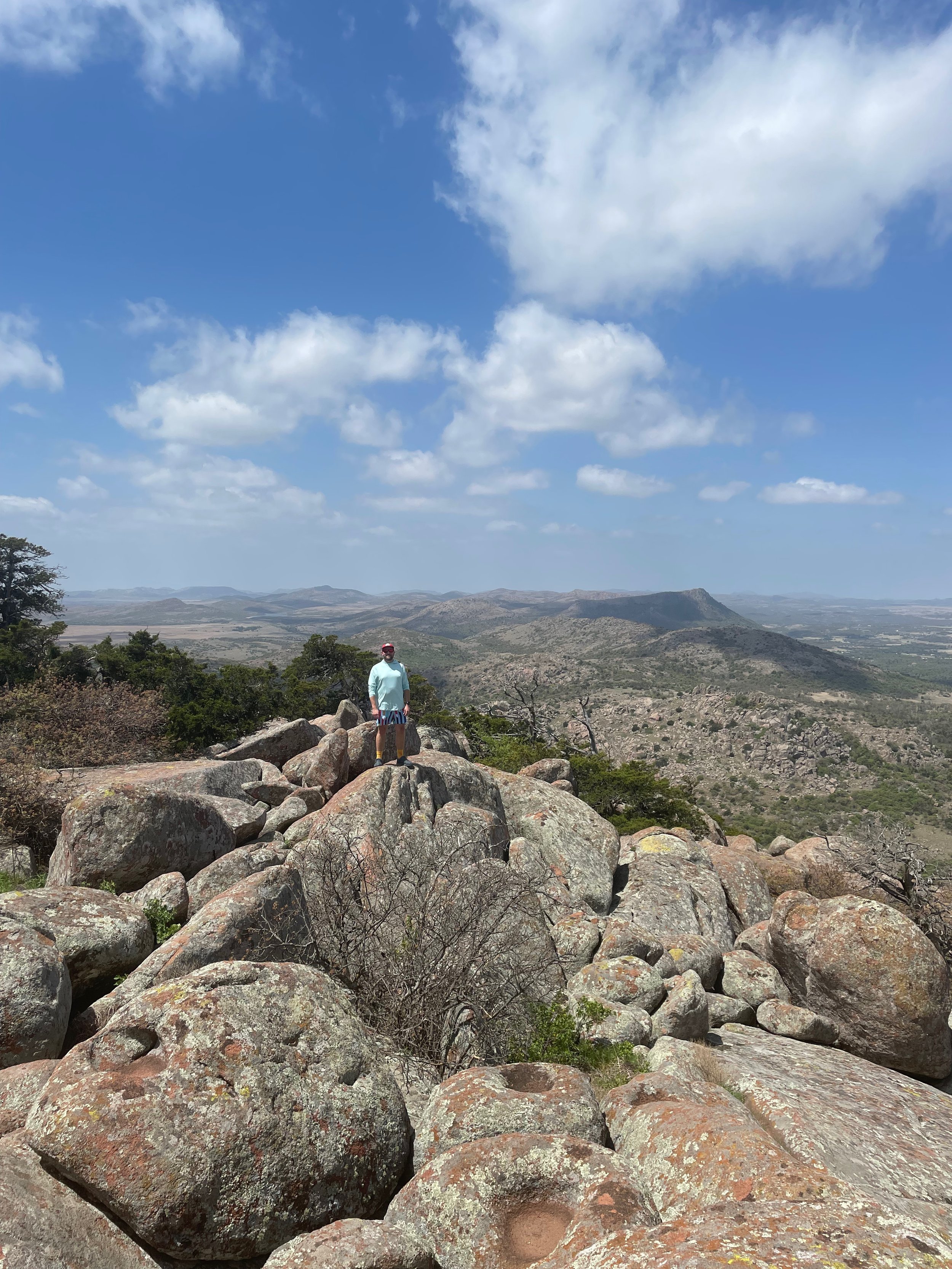
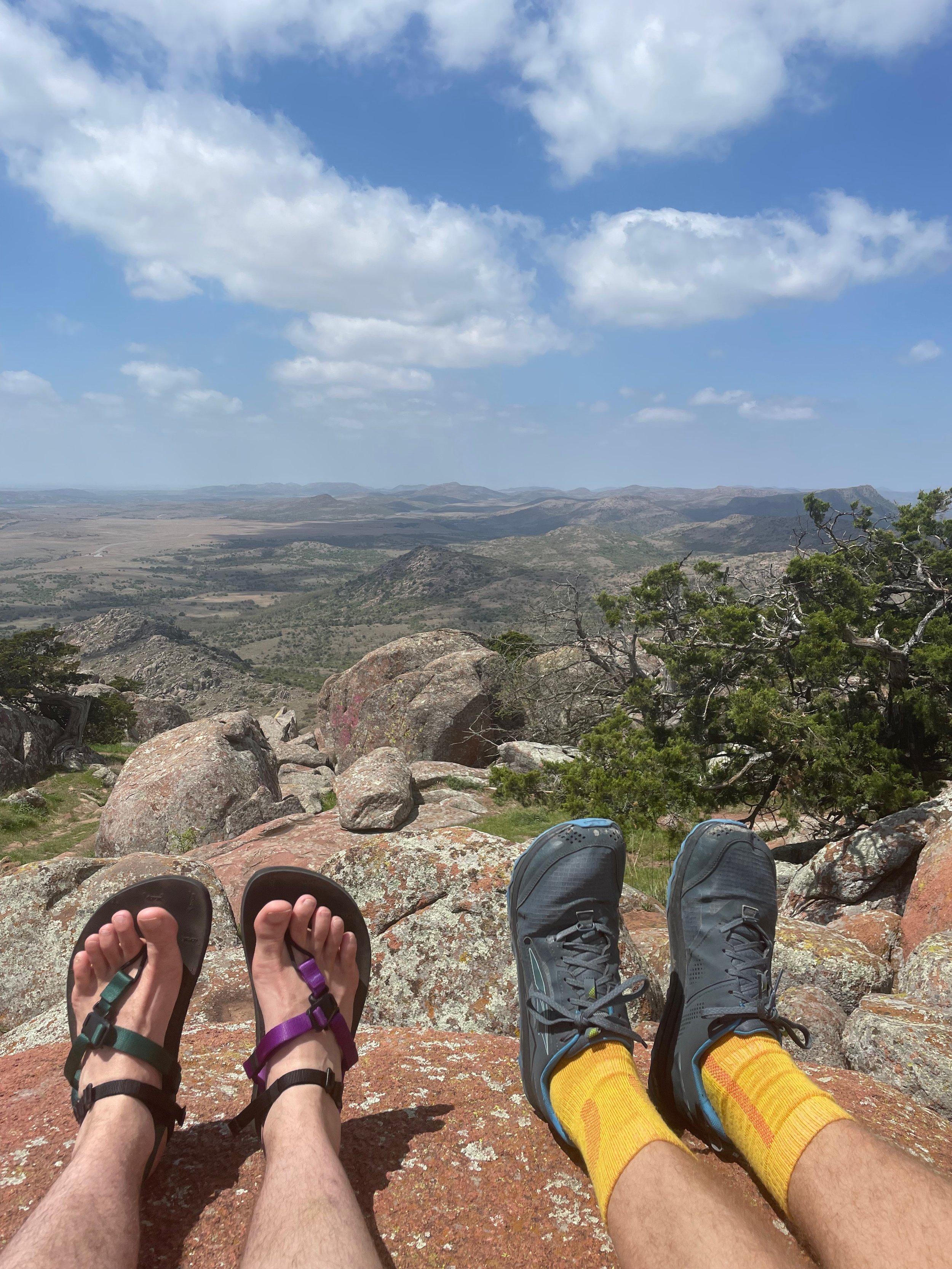
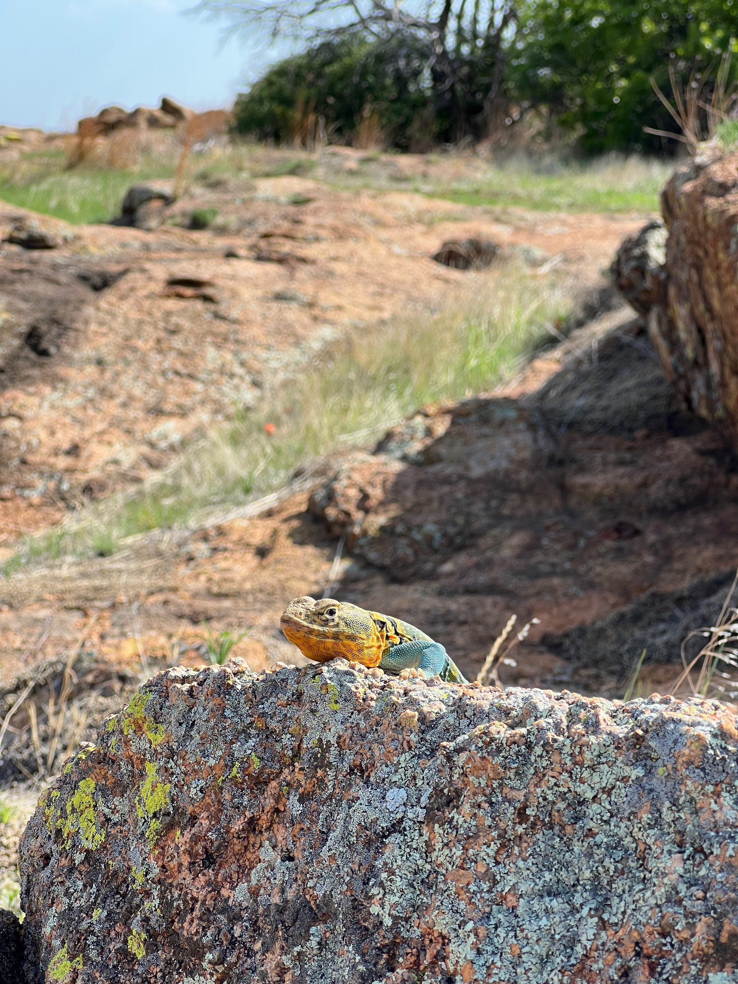
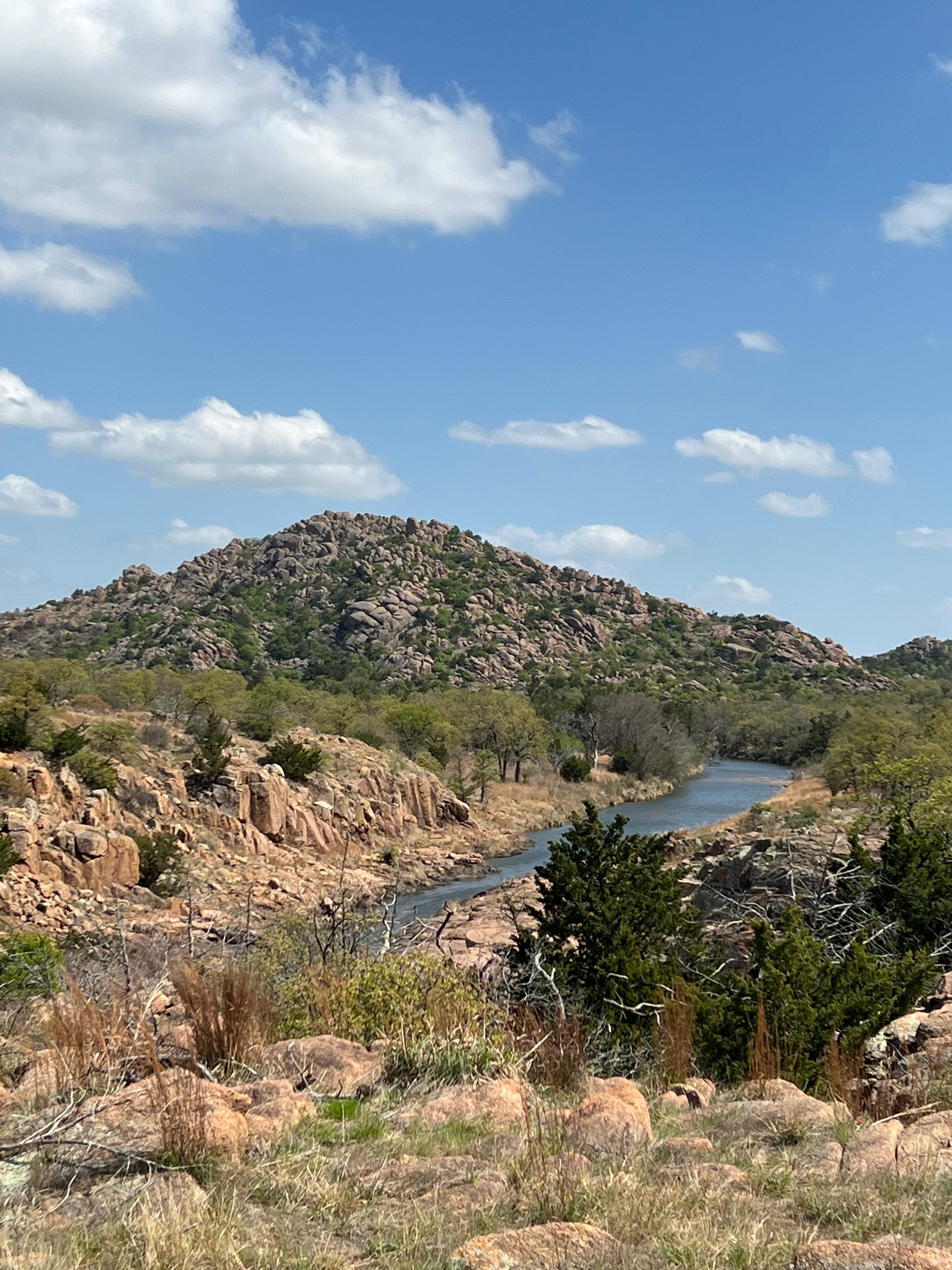
The Wichita Mountains offer a rocky, rugged, and desert like environment to explore with mountains reaching about 1500' in elevation above the surrounding plains.
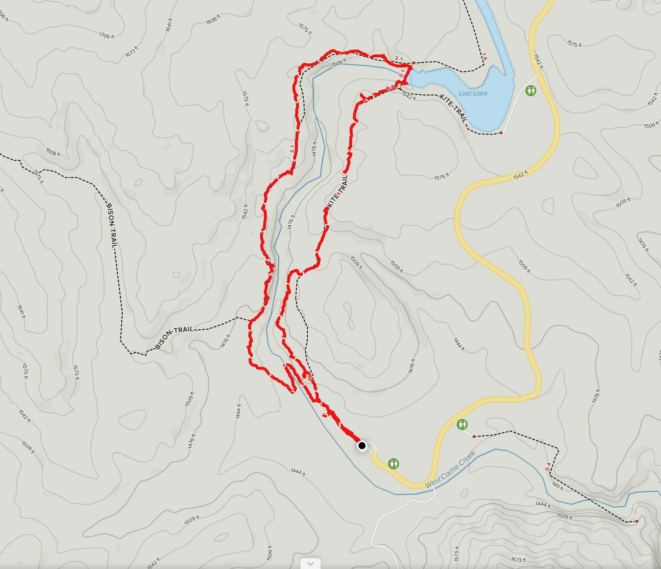
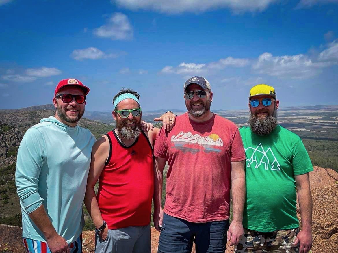
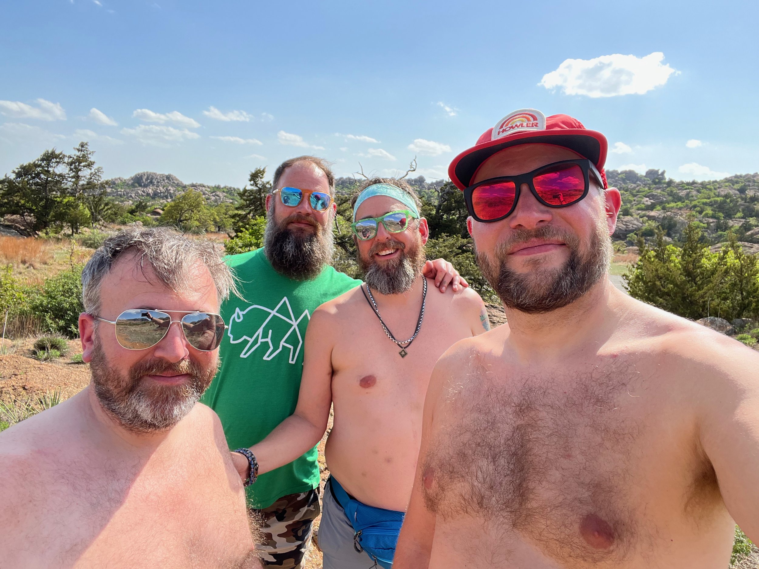
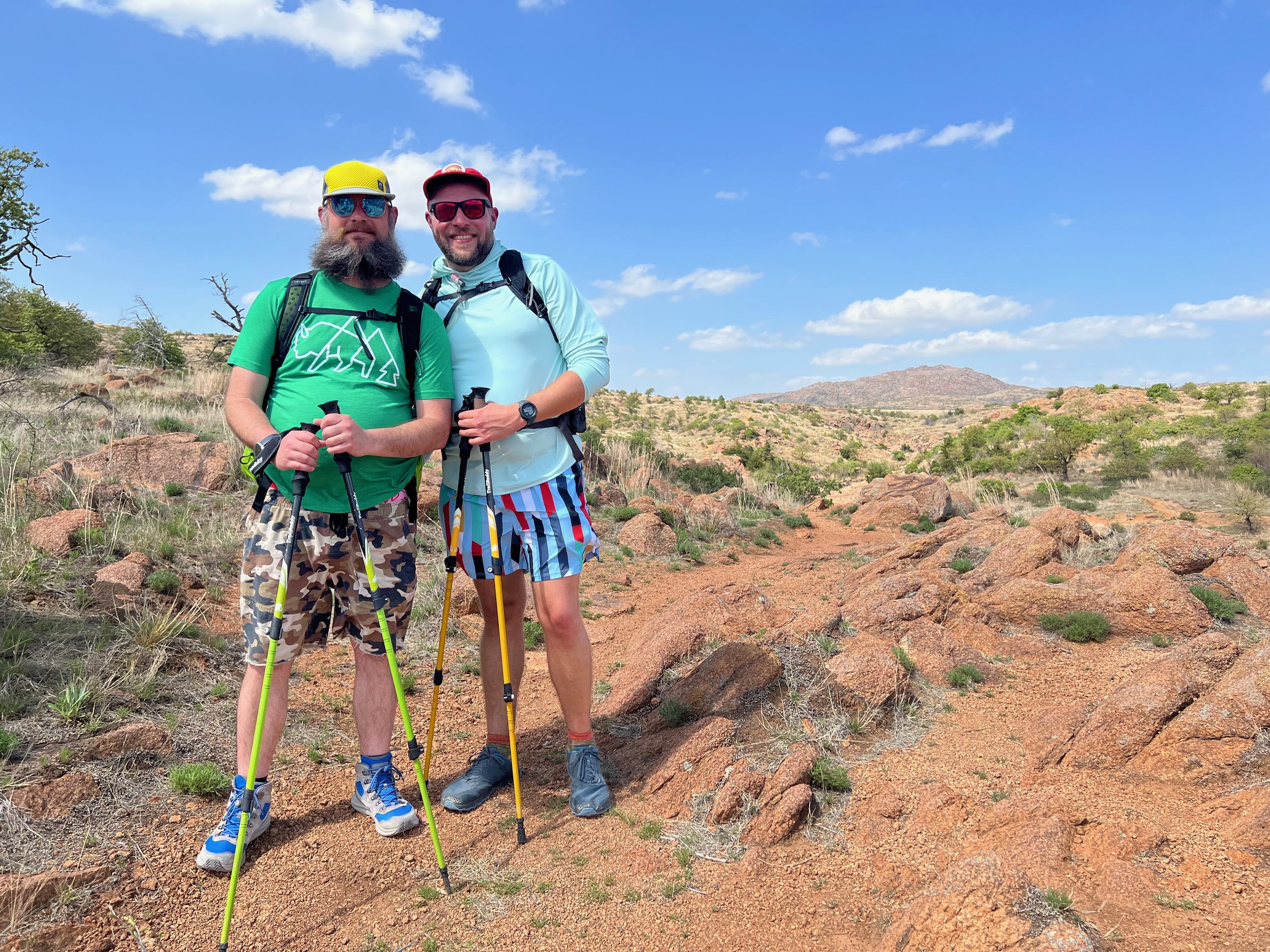
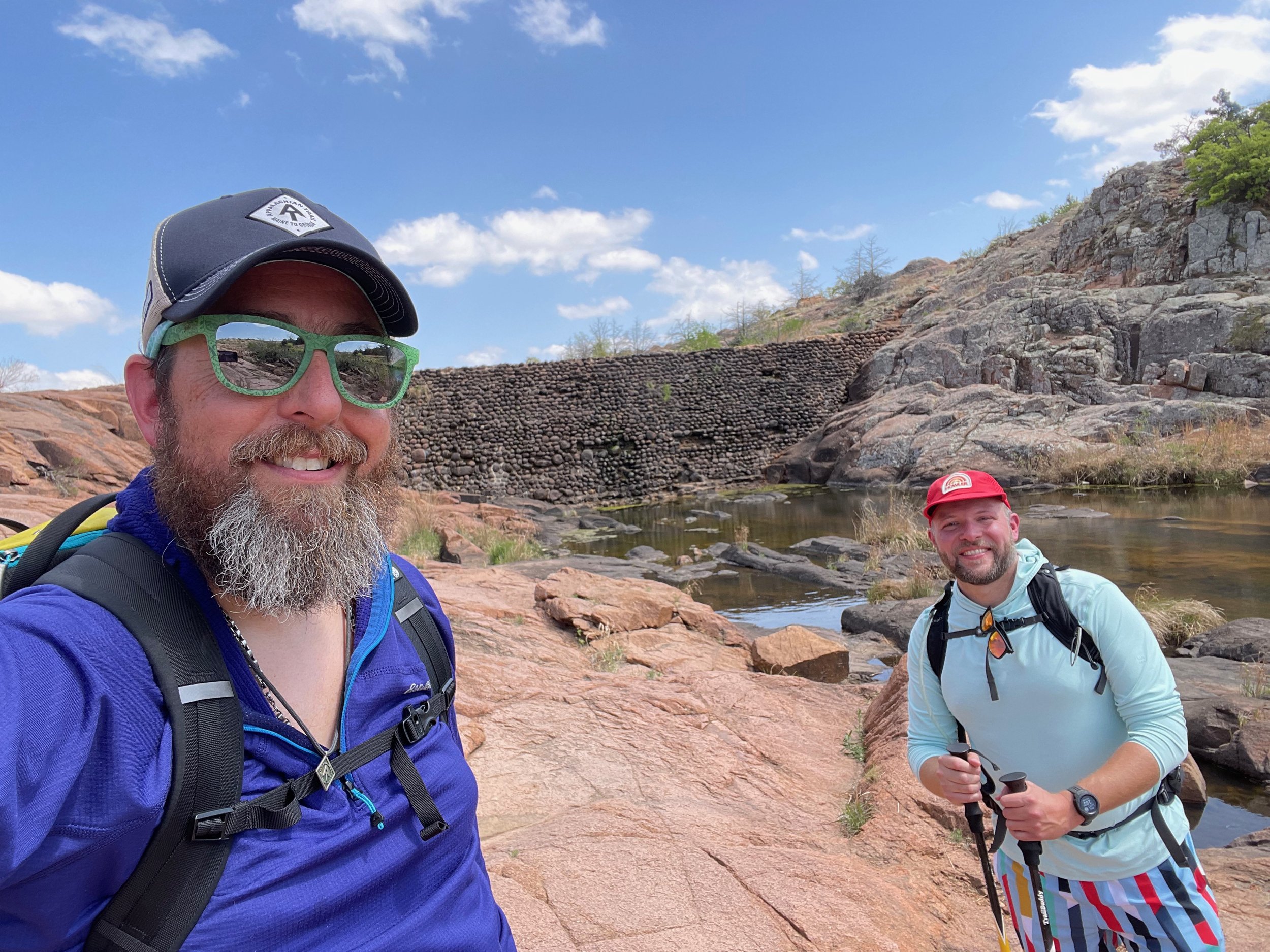
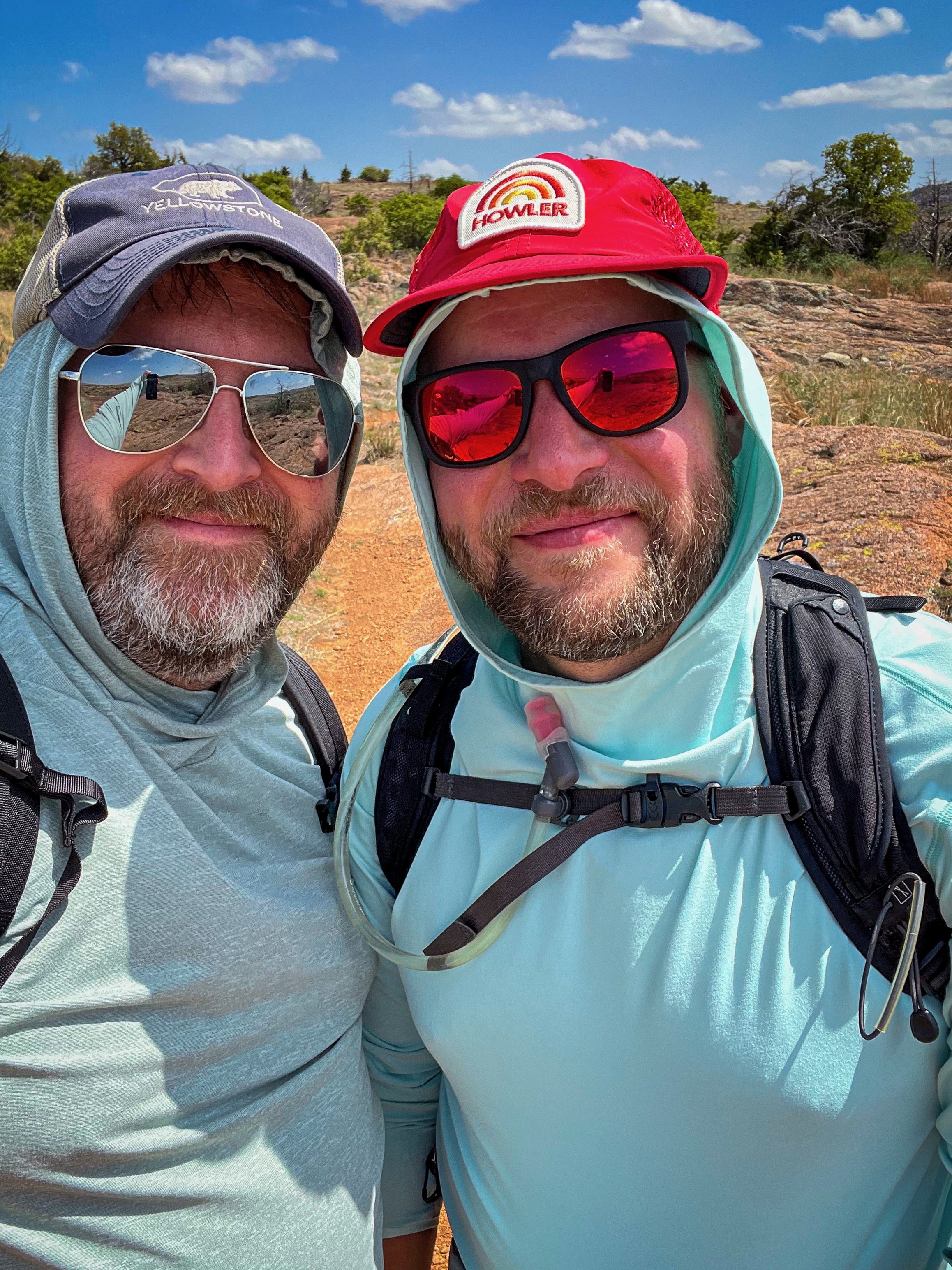
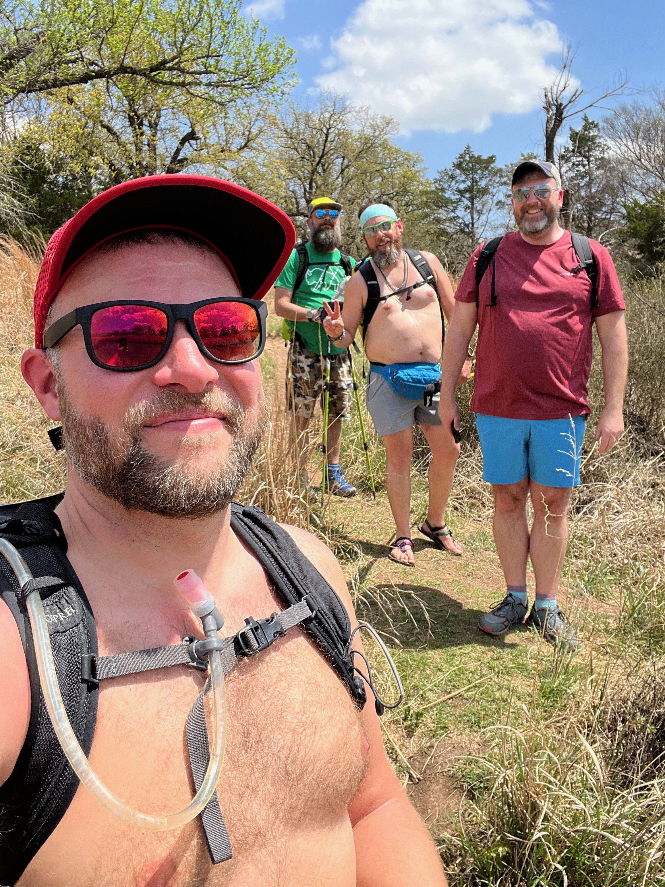
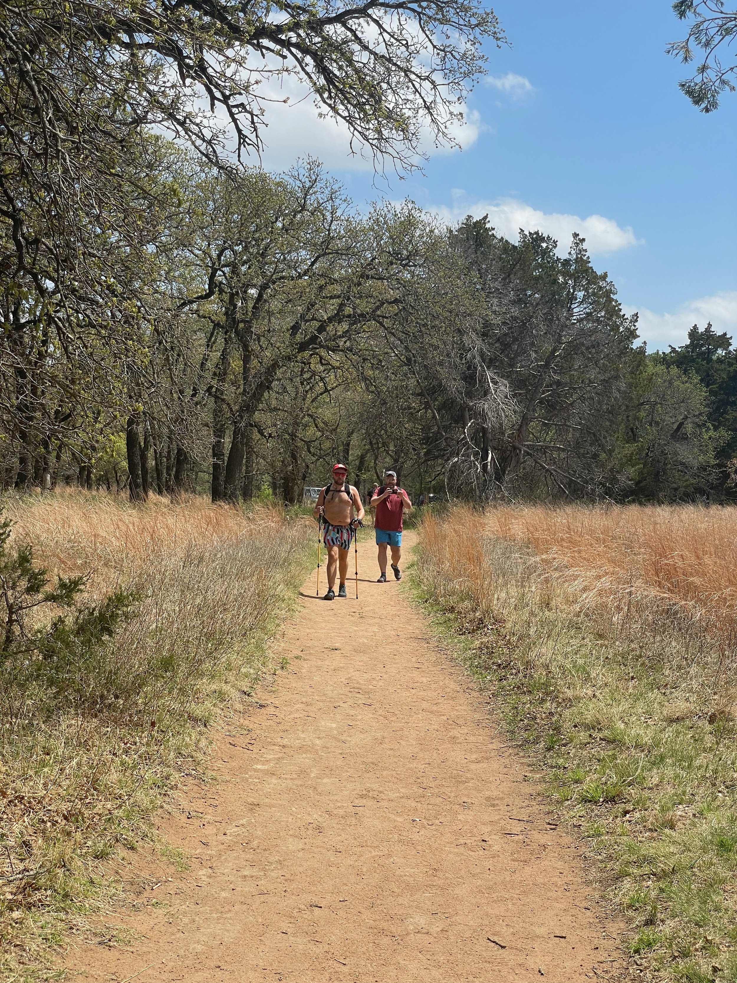
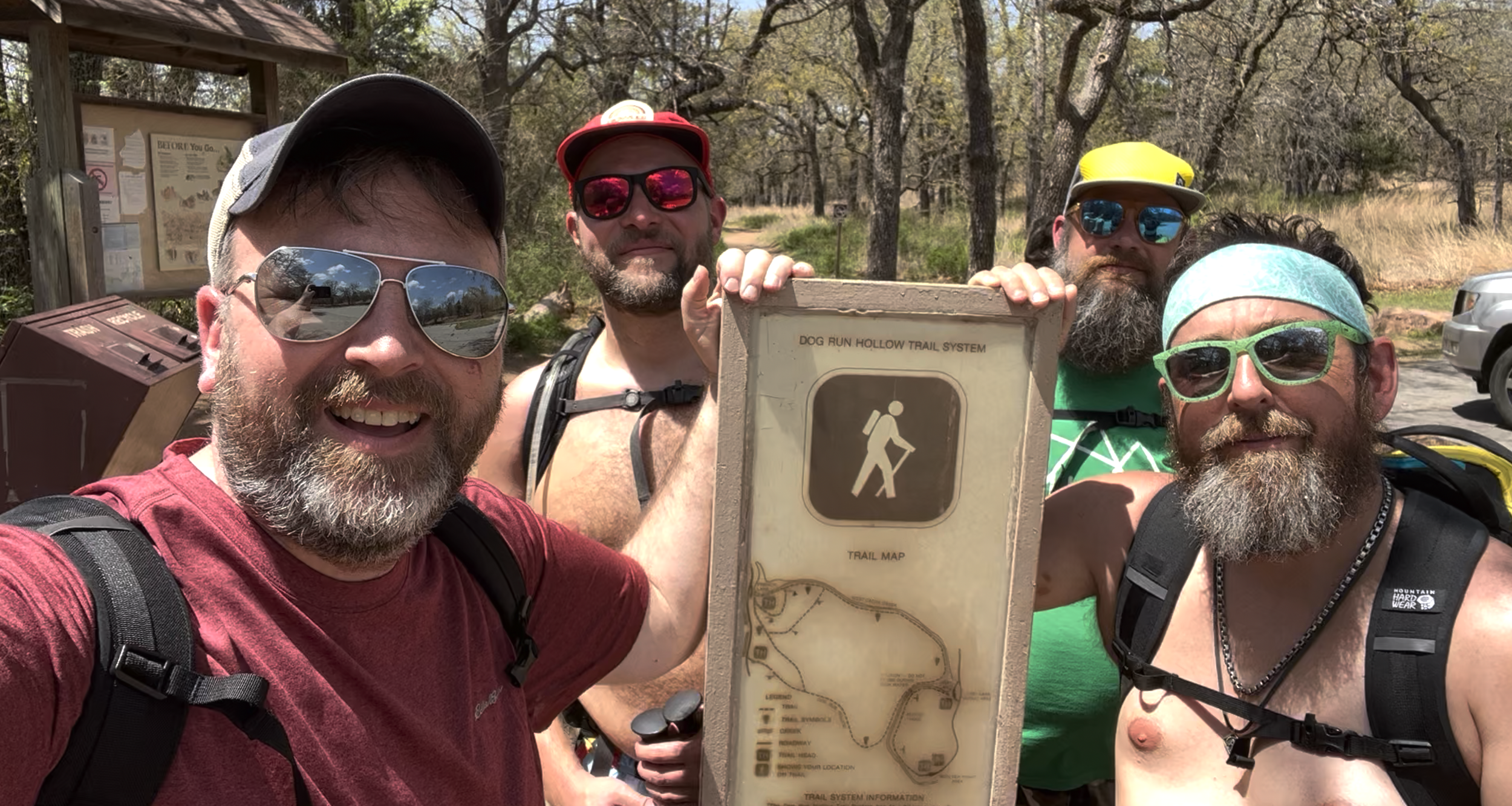
For our first trip to the area with our tour guides (and good friends), David and Paul (The Oklahomo Hikers), we began by hiking out to the Forty Foot Hole in the Dog Run Hollow Trail System. This geologic feature (West Cache Creek gorge/Forty Foot Hole) is located along the Dog Run Hollow Trail Network and we reached it from the Boulder Picnic Area in the Refuge. Our total hike was about 2.6 miles with about 225 feet of elevation gain. The "trails" are marked lightly and there are multiple routes one can follow. Having a good map in this area is very helpful.
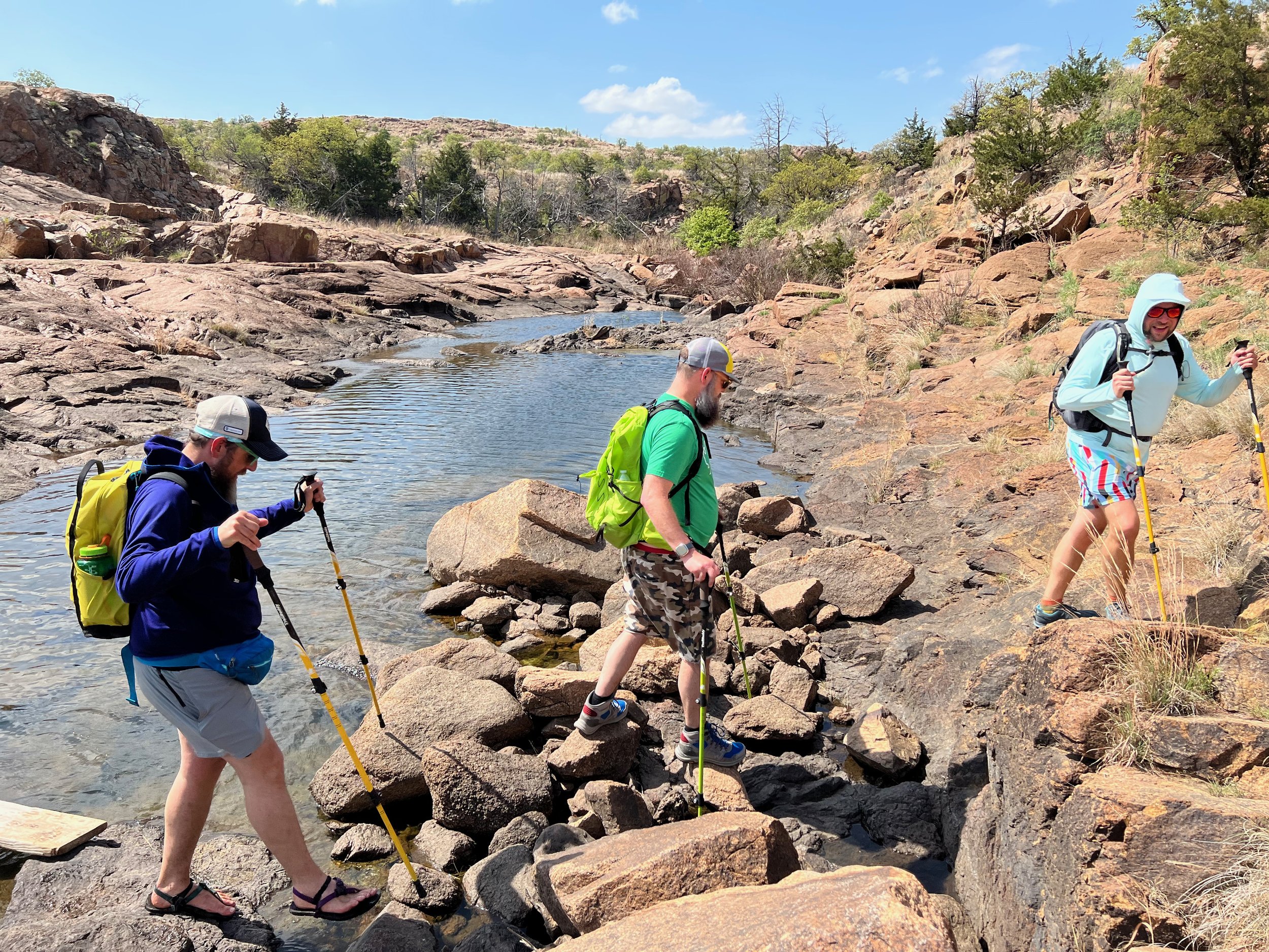
From the picnic area, we followed the trail along West Cache Creek and into the hills that the creek passes through. As the trail begins to turn away from the edge of the creek and climb into the hills, it begins to braid and there are numerous routes you can follow that all more or less take you along the same route. There are a limited number of metal trail markers that are pounded into the ground, but they were infrequent enough that we often found ourselves on one of the braids that wasn’t marked.
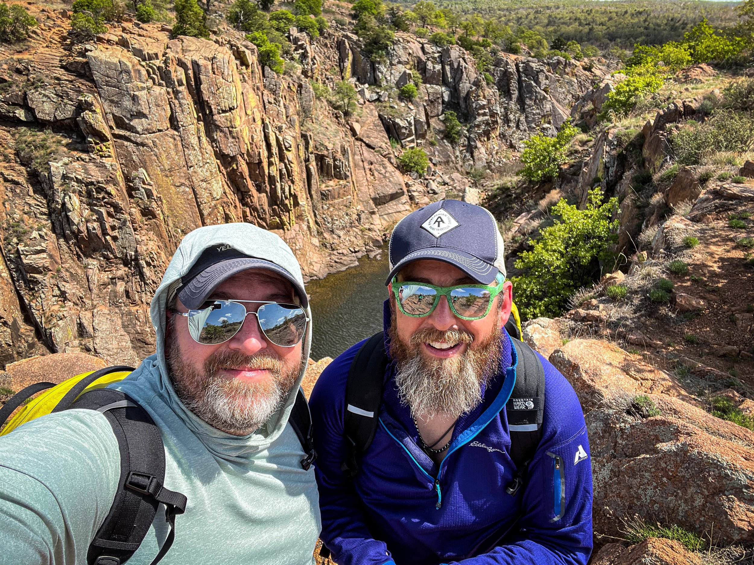
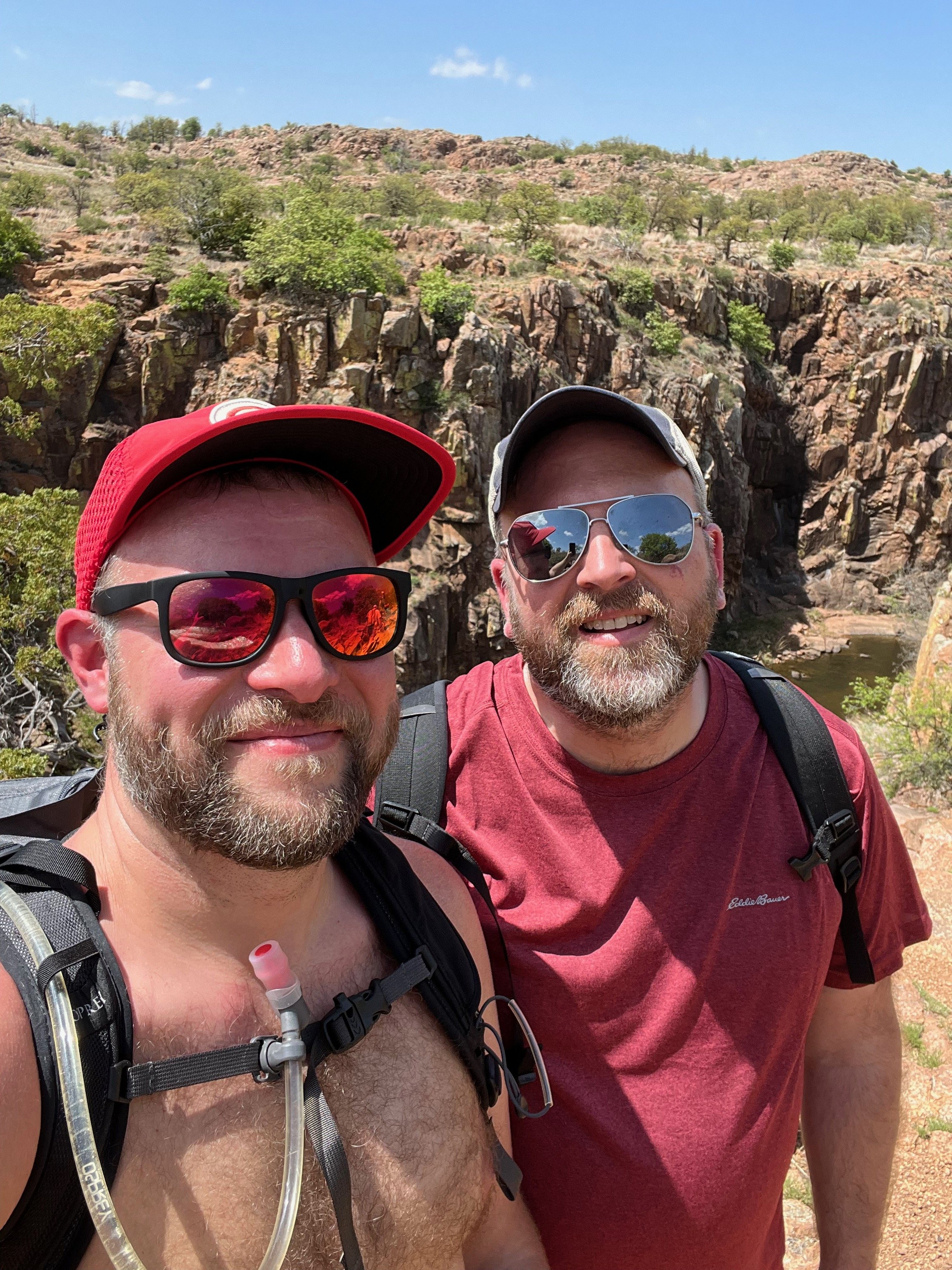
Forty Foot Hole is actually reached pretty quickly (maybe 3/4 of a mile in), but given that we weren’t sure what we were looking for, we didn’t realize that the gorge itself was the Forty Foot Hole so we kept following the trail until we reached the Lost Lake Dam, at which point we realized we had already passed the Forty Foot Hole.
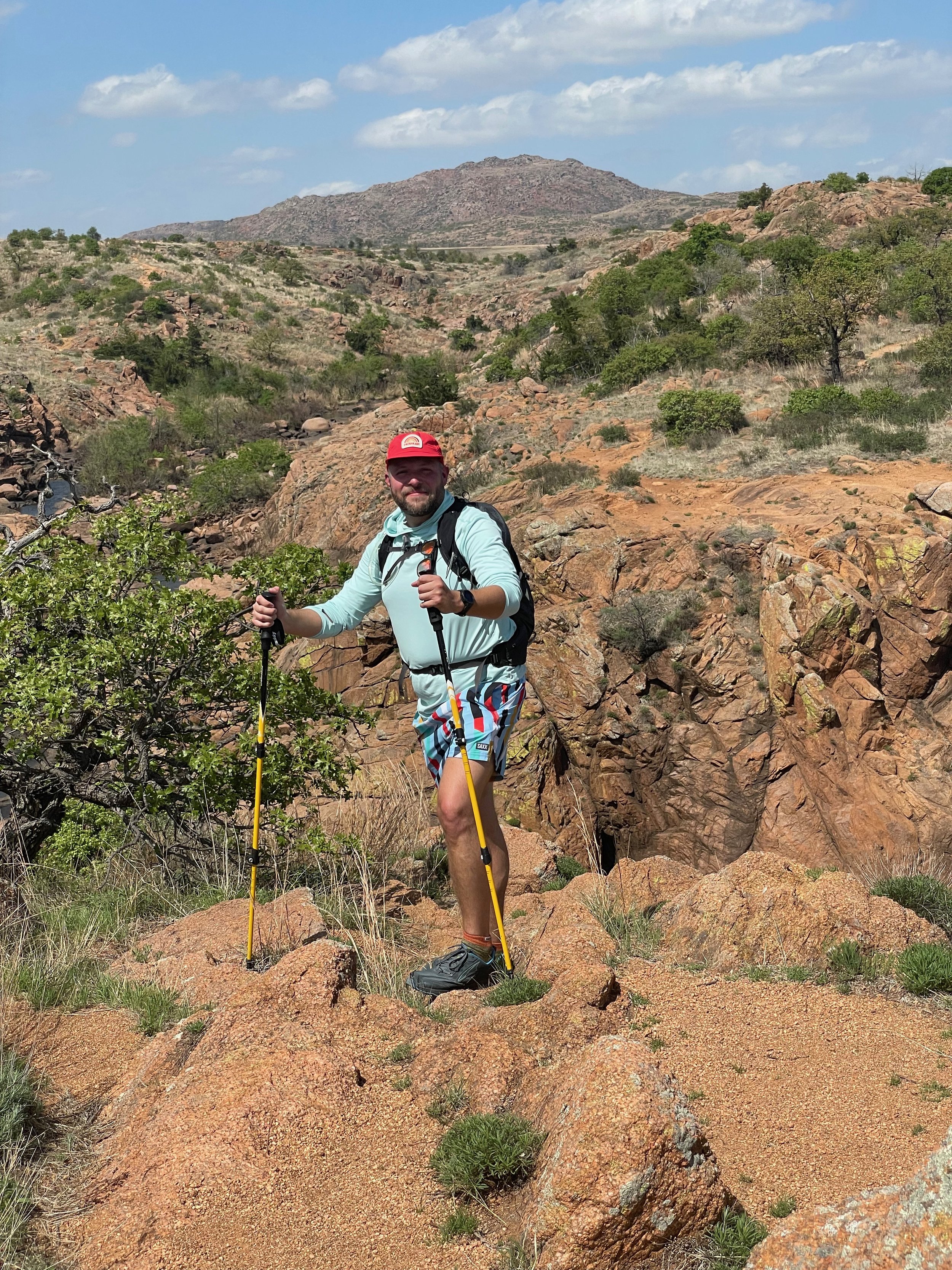
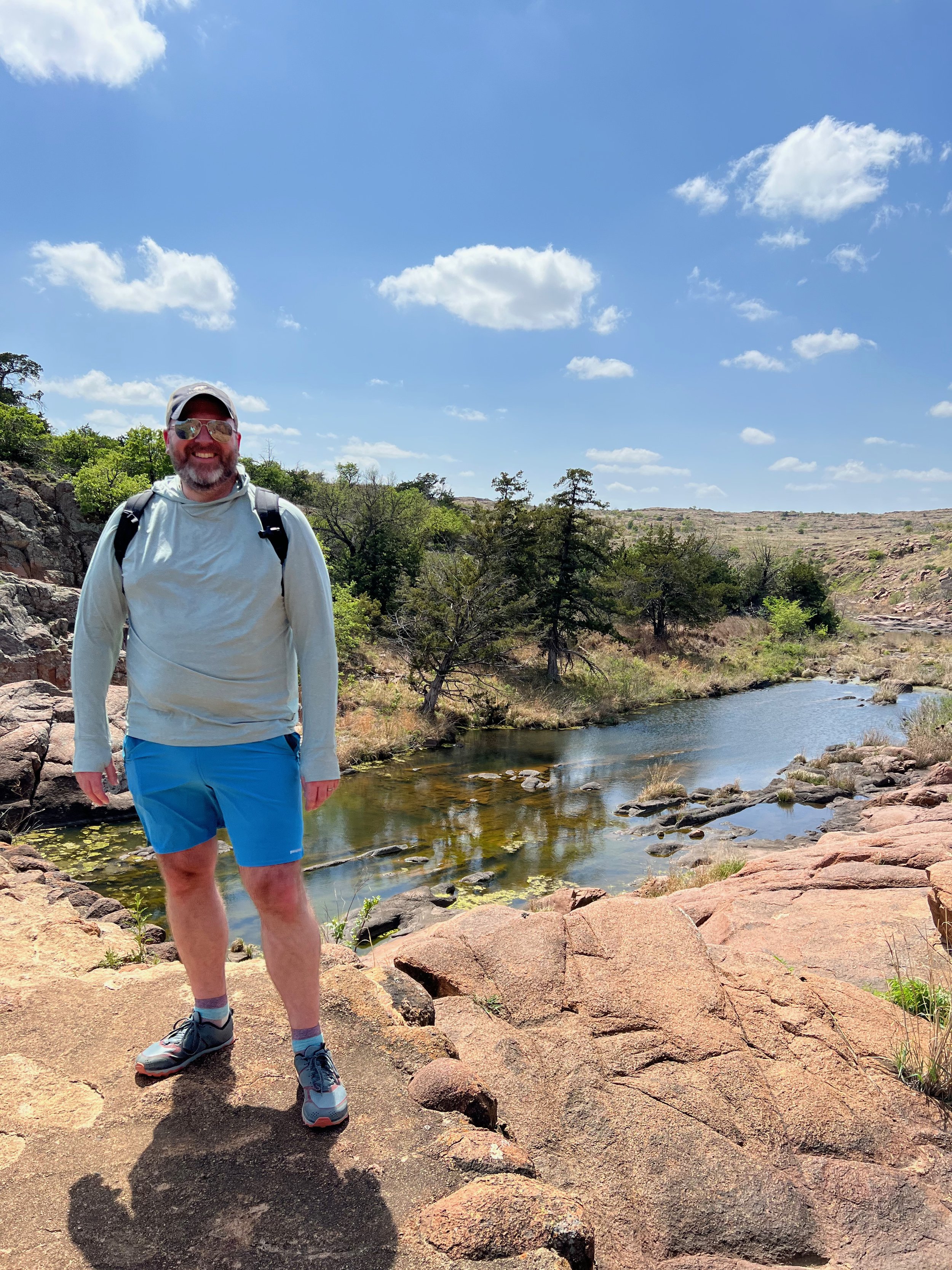
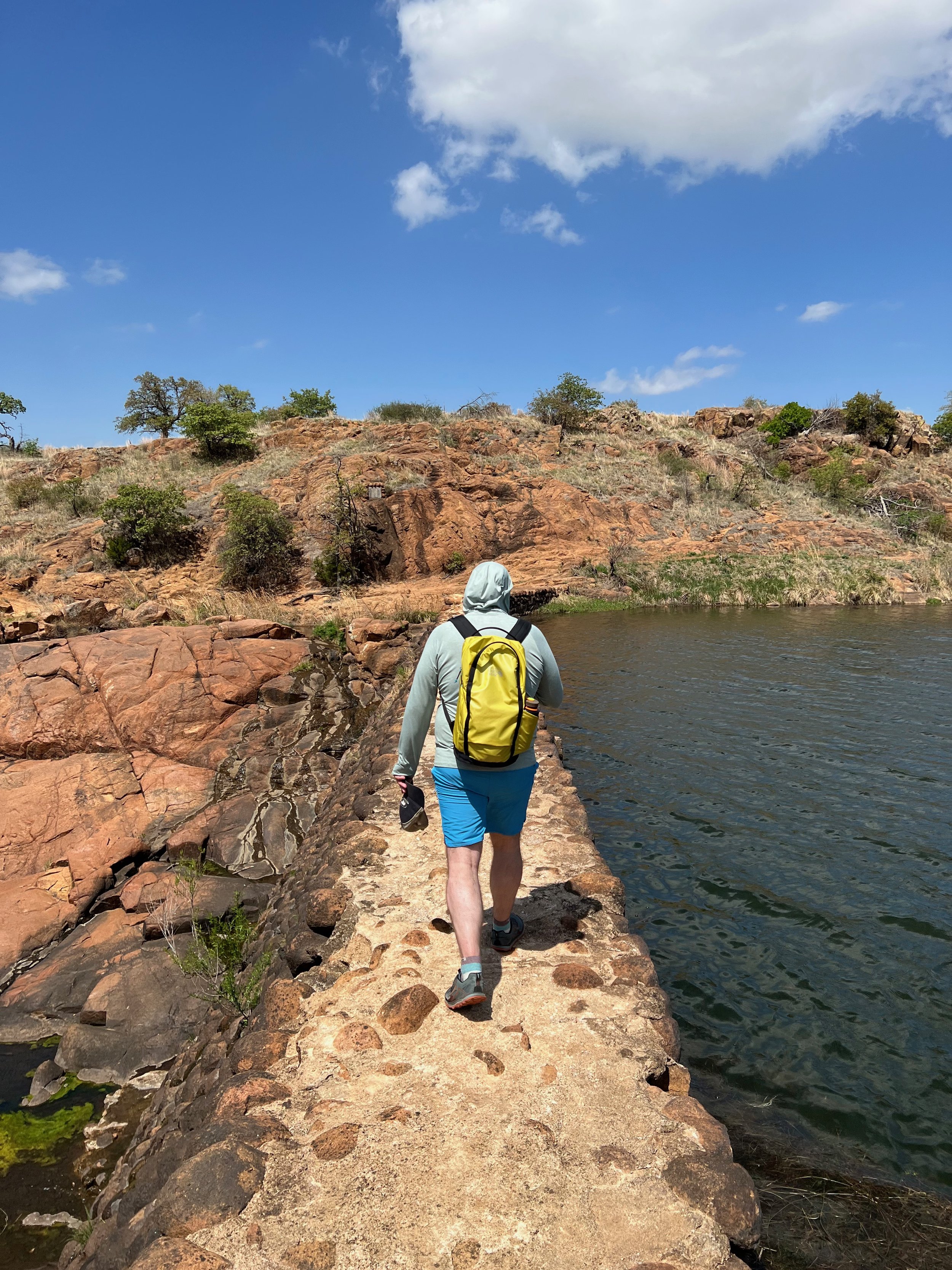
We crossed the dam (which would be impossible at higher water levels), and then followed the trail/route down the other side of West Cache Creek. This time we knew what we were looking for and were rewarded by several great views down into the West Cache Creek Gorge and the Forty Foot Hole.
We continued following the trail downstream and where the trail begin to turn away from the creek, we stayed along the creek, following it to the base of the hills. Then we backtracked up along the creek until we were able to cross it. From there, we walked down the creek and intersected with the trail we started on just above the picnic area.
All told about a 2.6 mile loop hike with only about 225 feet of elevation gain.
After our hike here, we stopped by Prairie Dog Town, which was home to what seemed like a huge number of prairie dogs. For those of us not used to them, it was awesome to stand and watch them all do their thing — plus they are darn cute. From there we went and drove up Mount Scott, which offered panoramic views of the surrounding Wichita Mountains.
For More Information About The Forty Foot Hole in the Wichita Mountains
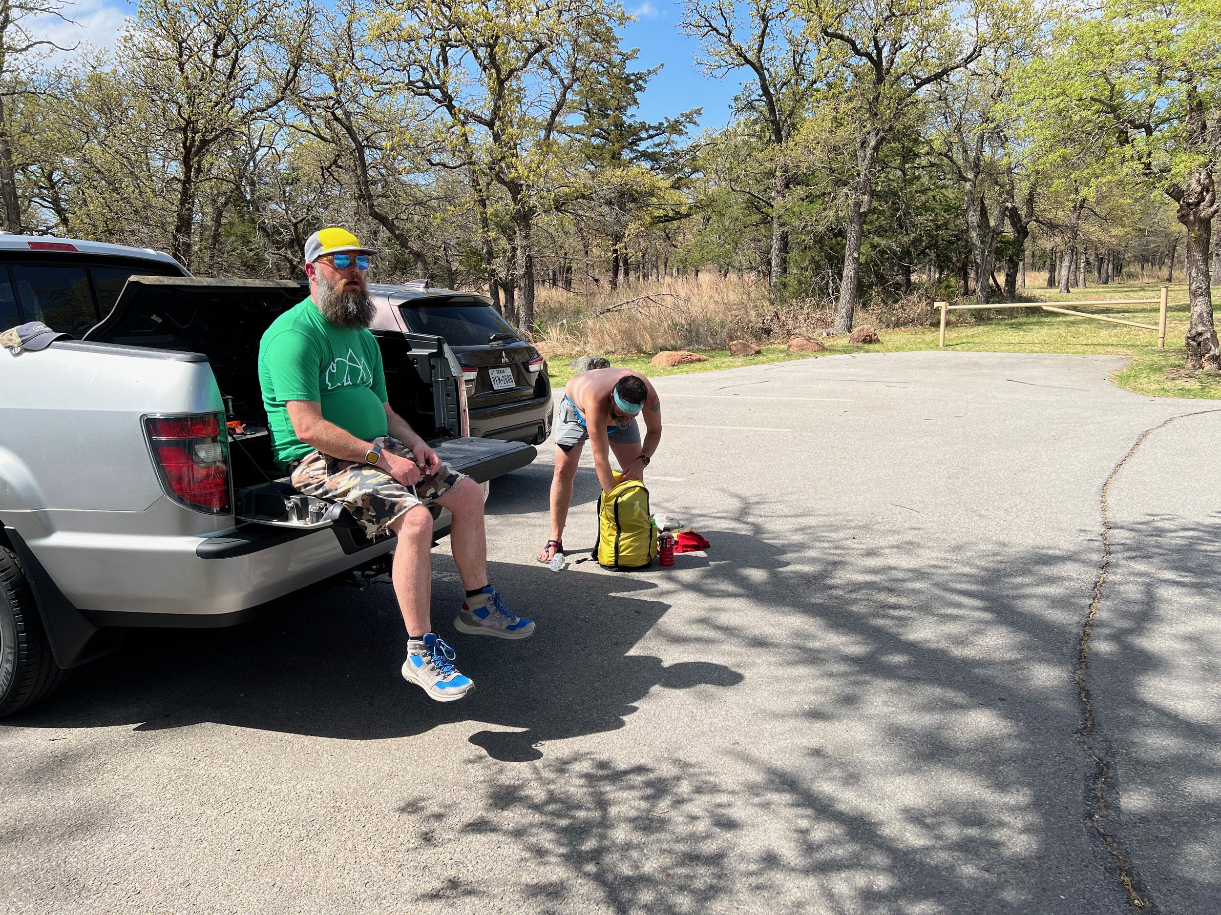
Gear we used and/or carried on this hike:
(Product links are affiliate links, so if you purchase something through them, it helps us out)