Bushwhacking Sleeping Lion and Halcott Mountains in the Catskills - One Catskill 3500 Peak and One Catskills Hundred Highest Peak
Take a hike with Jeff up and over Sleeping Lion and Halcott Mountains.
Sleeping Lion Mountain (3391') and Halcott Mountain (3509') are two trailless mountain peaks in the Catskill Mountains. Halcott Mountain is one of the Catskill 3500 Peaks, while Sleeping Lion is part of the Catskill Hundred Highest peaks.
Besides being on these lists, there isn’t a whole lot to attract folks to these mountains. There are few if any views and especially in the summer months, the undergrowth of nettles and thorns can get pretty gnarly. That said, putting them together as a 6.5 mile bushwhack loop makes for some good exercise along the way.
Note that all approaches to both of these peaks are bushwhacks. Some approaches are more popular than others, especially the approaches to Halcott Mountain.
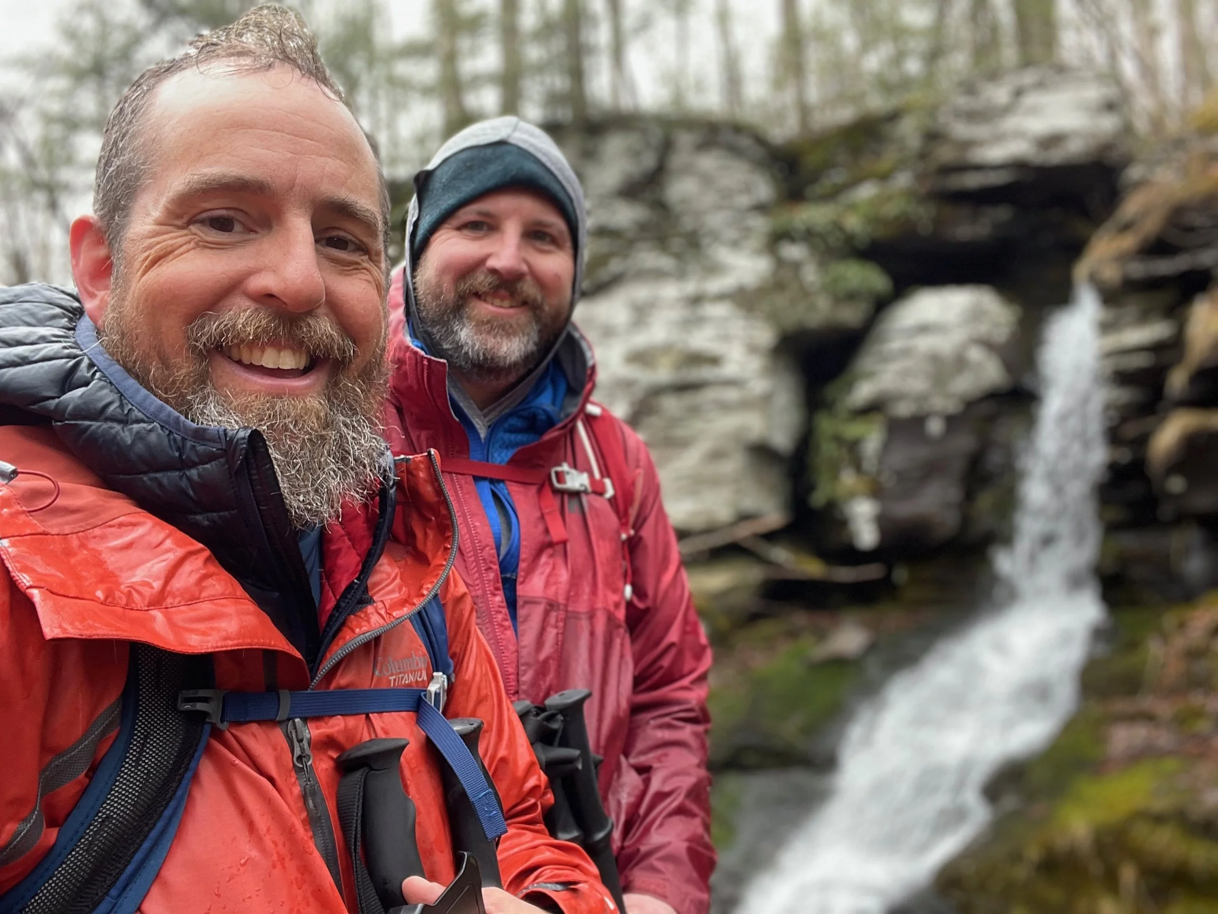
The most straightforward route is to create a loop with both peaks that begins in the parking lot located on Route 42 in Deep Notch. From the parking lot a distinct herd path climbs past the nearby waterfall and then continues across the creek at the top of the water to left and ascends Halcott.
For this trip, I began with an ascent up Sleeping Lion, so instead of following the herd path to the left, I turned right and followed the ridge to the summit of Sleeping Lion. From there, I followed the ridge between Sleeping Lion and Halcott to the summit of Halcott Mountain. After that I spent some time looking for Halcott's elusive vista (you can see how that turned out in the video) and descended via the very distinct herd path on Halcott back down to the parking area where I had began.
The hike/bushwhack is about 6.5 miles with about 2250 feet of elevation gain along the way. At least half of the bushwhack is without herd paths and requires good navigation skills. Having a map and knowing how to use it, along with a compass is key. GPS or GPS apps on your phone come in handy, but the batteries can always die - so always have that paper map.
For more information
You can find this hike on:
Additional Catskill Park information available at the Catskills Visitor Center (5096 Route 28 in Mt. Tremper)
Need help on a hike or a backpack like this? Moe is a NYS licensed hiking and backpacking guide. You can hire him for Outdoor Hiking, Backpacking and Camping Guide Services at Hike On Guides for hikes in New York, New Hampshire, Vermont, and Massachusetts.
Gear we used and/or carried on this hike:
(Product links are often affiliate links, so if you purchase something through them, it helps us out)