Hiking the Tripyramids in the White Mountains of New Hampshire - Part of the NH 48!
Hiking the Tripyramids: A White Mountains NH 48 Classic Adventure
Explore North and Middle Tripyramid in New Hampshire’s White Mountains. Discover the best trails, loop options, and what to expect on this iconic NH 48 hike.
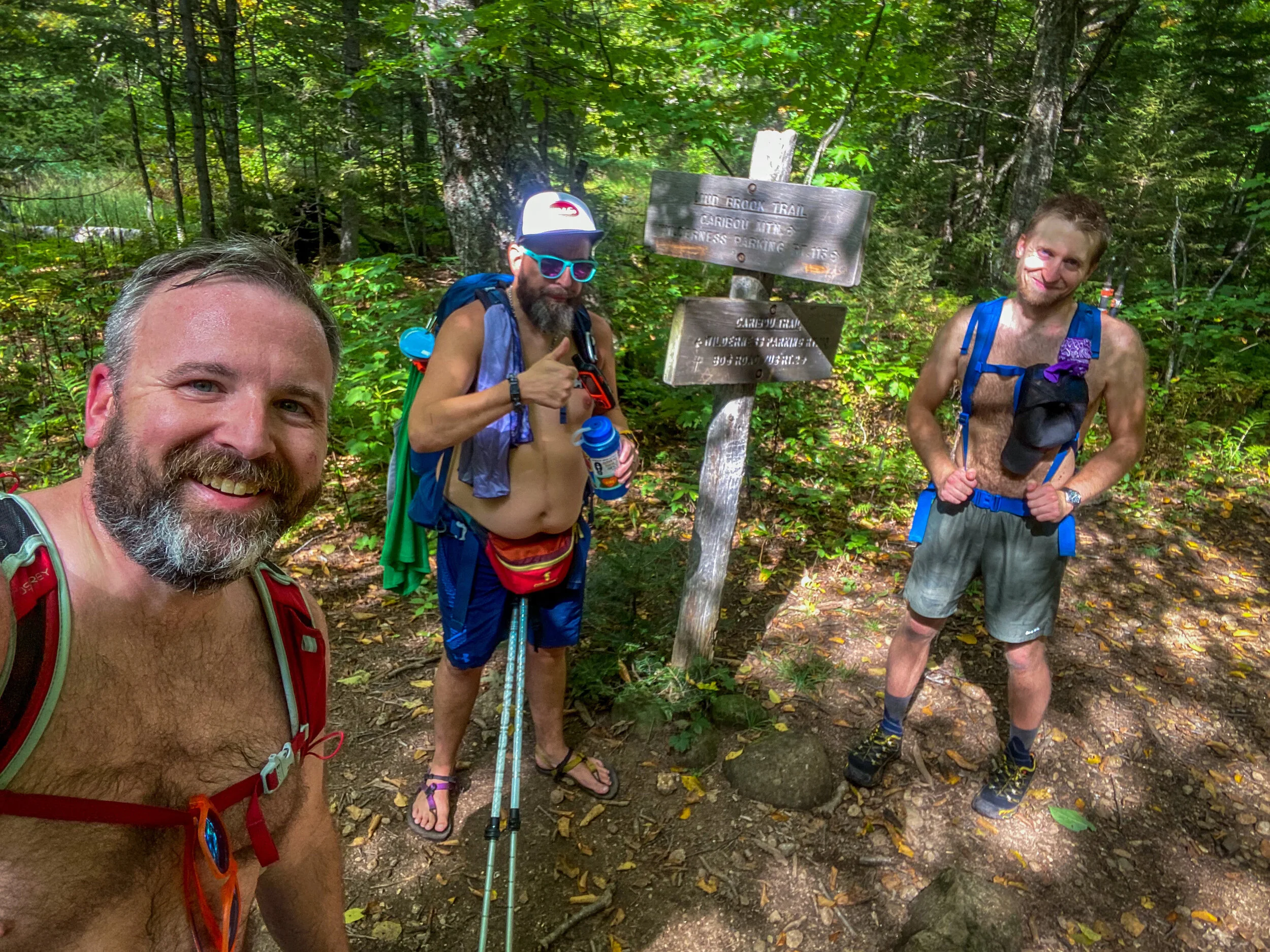
Middle and North Tripyramid Mountains are located in the Sandwich Range Wilderness of the White Mountain National Forest of New Hampshire. They both are part of the NH48 Challenge, as peaks in New Hampshire that rise above 4,000 feet in elevation.
The Tripyramids are accessible from a number of different trails. For this hike, we started at the Sabbaday Falls/Sabbaday Brook Trail trailhead parking area, ascended to the notch between the mountains, hiked the Mt. Tripyramid Trail to Middle Tripyramid, and then headed back on the Mt. Tripyramid Trail to the summit of North Tripyramid. From there, we followed the Pine Bend Brook Trail down to the Kancamangus Highway, and walked back on the road to the Sabbaday Brook Trail parking area.
The Sabbaday Brook Trail begins as a well graded, wide, and easy trail to Sabbaday Falls. The Falls is not to be missed and it’s well worth the extra time to take the side trail that goes up and along the stream and the falls.
After the Falls, the trail follows old woods roads and climbs moderately for about 4.5 miles. After that, the climb gets more strenuous, with the last 0.3 miles or so to the notch between the Tripyramids being very steep and following old landslides and open rock slabs.
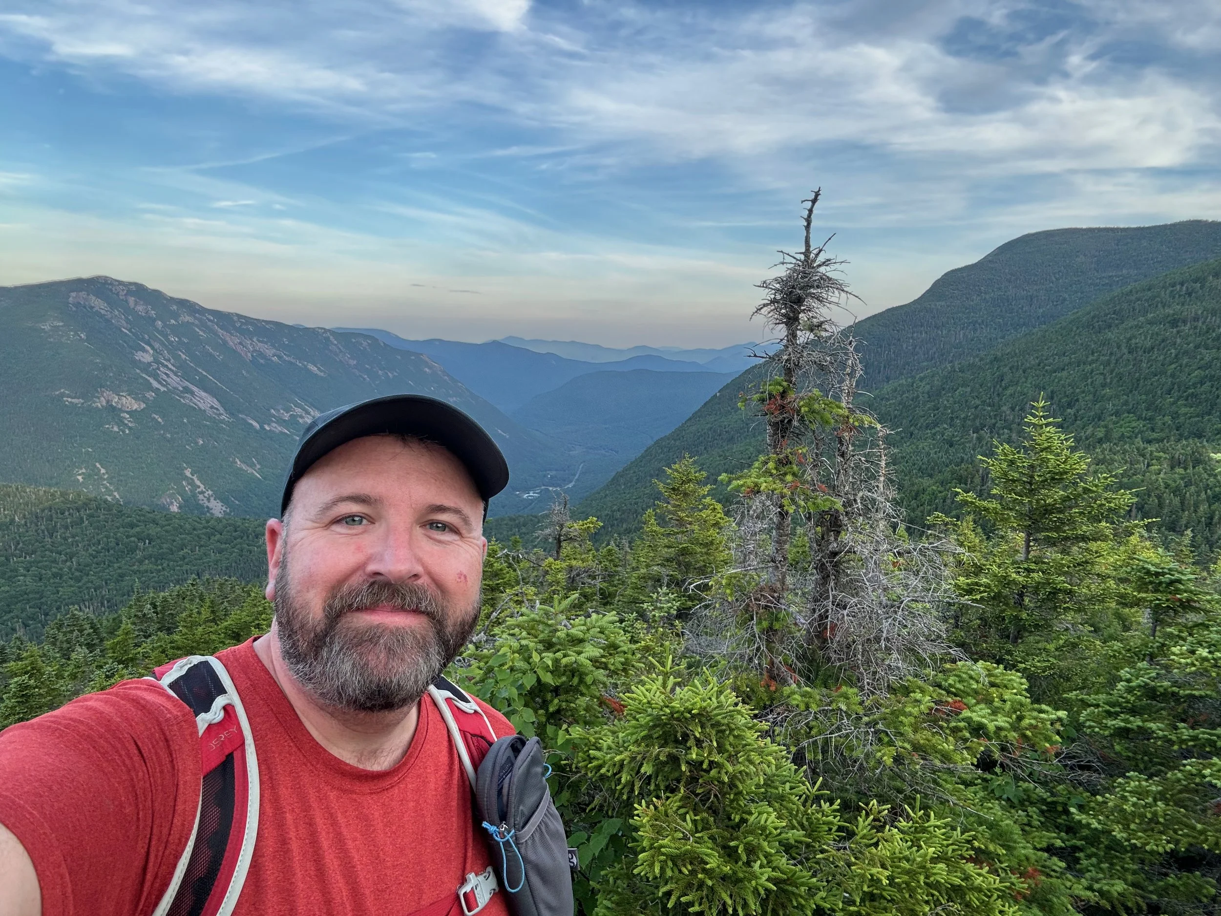
From the notch, the Mt. Tripyramid Trail climbs steeply to the summit of Middle Tripyramid. Topping out at 4,140 feet, this peak really does feel like you’re standing on top of a pyramid because of it’s narrow, pointed top. You are not above tree line, but there are views from the summit. We were in the clouds, so we didn’t get to see them, but we know others have been there in the clear and raved about the views.
From the summit of Middle Tripyramid we descended back to the notch and trail junction with the Sabbaday Brook Trail, and then ascended to the summit of North Tripyramid. North Tripyramid tops out at 4,180 feet, and also features some good views (when it’s not cloudy). It was a great place for lunch.
There are a few herd paths on the summit that make it hard to find the actual trail, but it descends off the summit to the right as you ascend to the top.
To descend on the Pine Bend Brook Trail, stay on the Mt. Tripyramid Trail and begin descending. A few tenths of a mile down you’ll come to the trail junction with the Livermore Trail, which goes to the left. When we hiked through, the signpost was gone, so having a map came in handy to ensure we were staying on the right trail. In another half a mile or so, you’ll come to the trail junction with the Scaur Ridge Trail, which again, goes off to your left. The Pine Bend Brook Trail stays to the right and then continues descending steeply. There’s about 2 miles of steep descent, before the trail moderates for the last two miles before the Kancamangus Highway.
When you reach the Kancamangus Highway, you’ll turn right (eastward) and hike about a mile on the road, back to the Sabbaday Brook Trail parking area.
The hike in total was about 11.15 miles in length, and there was about 3058 feet in vertical elevation gained over the entire hike.
Don’t know where to start with hiking, backpacking, and camping? We can help you! Visit our professional Outdoor Hiking, Backpacking and Camping Guide Services Company at Hike On Guides.
Gear we used on this hike:
Hydration and nutrition for this hike:
(Product links are affiliate links, so if you purchase something through them, it helps us out)
Important Hiking Considerations:
Weather: Check the weather forecast before your hike and be prepared for changes in conditions.
Safety: Some sections of the trail can be steep and rocky, so use caution and watch your footing.
Leave No Trace: As with any outdoor activity, remember to follow the principles of Leave No Trace. Pack out any trash, stay on the trail, and be respectful of the natural environment.