Hiking Hunter Mountain: Complete Loop Trail & Fire Tower Guide - Catskills Hiking
Hiking Hunter Mountain: Best Loop Trail in the Catskills with Fire Tower Views and More
Hiking Hunter Mountain is one of the classic Catskills adventures — a summit fire tower, historic trails, and a rugged loop that feels like a greatest-hits reel of Catskill terrain. The Hunter Mountain Loop is one of the most searched hikes in the region, and this guide breaks down everything you need to know to hike Hunter Mountain safely and confidently, whether you take the Devil’s Path route, the Spruceton Trail, or the popular loop that tags the Hunter Mountain Fire Tower.
This is also our favorite hike in the Catskills. It offers a little bit of everything for every hiker. It really is the best hike in the Catskills and one that’s not to be missed on a Catskills hiking adventure.
Hunter Mountain Loop Trail Description
The trail begins at the Spruceton Trailhead off of Spruceton Road, climbs Hunter Mountain via the Spruceton Trail, passing the John Robb lean-to along the way, and ending at the Hunter Mountain Fire Tower at the summit. From there, you follow the Hunter Mountain Trail as it descends to the Devil’s Acre Lean-to and the Devil’s Path. Once on the Devil’s Path, you follow that westward, through the notch between Hunter Mountain and Southwest Hunter Mountain, and then descend down to the Diamond Notch Trail and Diamond Notch Falls. Once there, it’s a walk out the Diamond Notch Trail to Spruceton Road, and then a short road walk on Spruceton Road back to the Spruceton Trailhead.
We prefer to do the loop in this direction, as it puts all the climbing up front, and while the Devil’s Path from the Devil’s Acre Lean-to area is a rocky, rough descent, it would be even tougher as a climb.
The 3.4 mile ascent on the Spruceton Trail ascends roughly 2,000 from the trailhead parking area to the summit of Hunter Mountain. The trail is well maintained, and provides a great walking surface, as it was the original jeep road that was used by Fire Tower Observers to staff the Fire Tower when it was operated to watch for forest fires across the Catskills. The road is very wide and well maintained for the first 1.7 miles. At 1.7 miles, you reach the notch between Rusk Mountain to the west and Hunter Mountain to the east. From here, the trail/road gets narrower and steeper, but is still maintained well, and is occasionally used to access the Fire Tower for administrative purposes.
About a half mile above the notch, you come to one of the most reliable springs in the Catskills and shortly thereafter, the side trail to the John Robb Lean-to. This lean-to is perched on a ledge that offers a tremendous view of the Spruceton Valley and even if you aren’t staying at the lean-to, it’s worth the short walk out to see the view. Back on the Spruceton Trail, you pass the intersection with the trail that goes out to the top of the Hunter Mountain Ski Area and then it’s about a mile to the summit of the mountain.
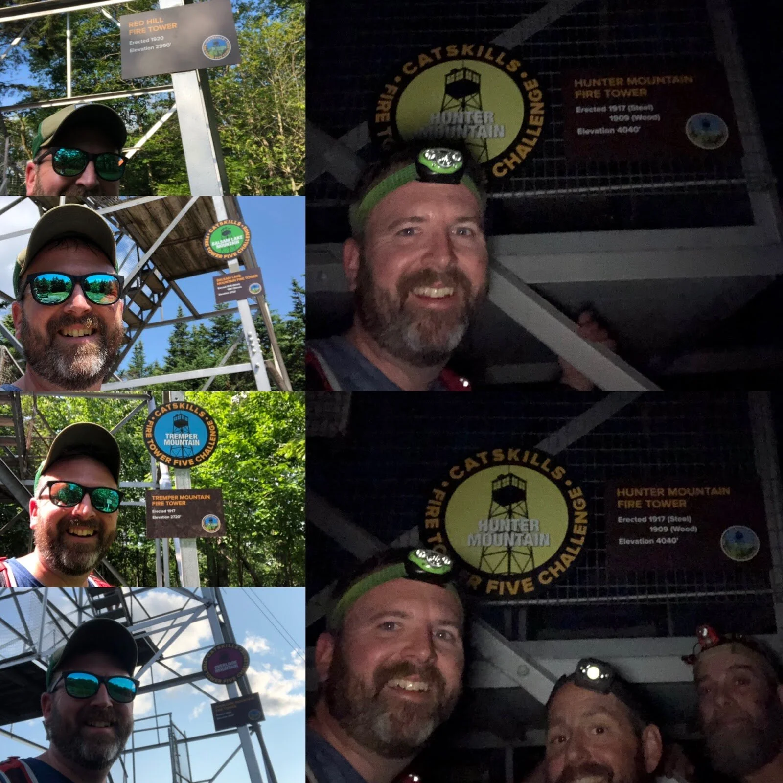
Catskills Fire Tower Challenge: The Hunter Mountain Fire Tower is one of six towers in the Catskills Fire Tower Challenge - a fun way to explore the Catskill Park and soak in some classic summit views. To complete the challenge, you’ll hike to five mountain-top towers plus the tower at the Catskills Visitor Center. Each one offers its own vibe, its own view, and a reason to keep chasing the next summit.
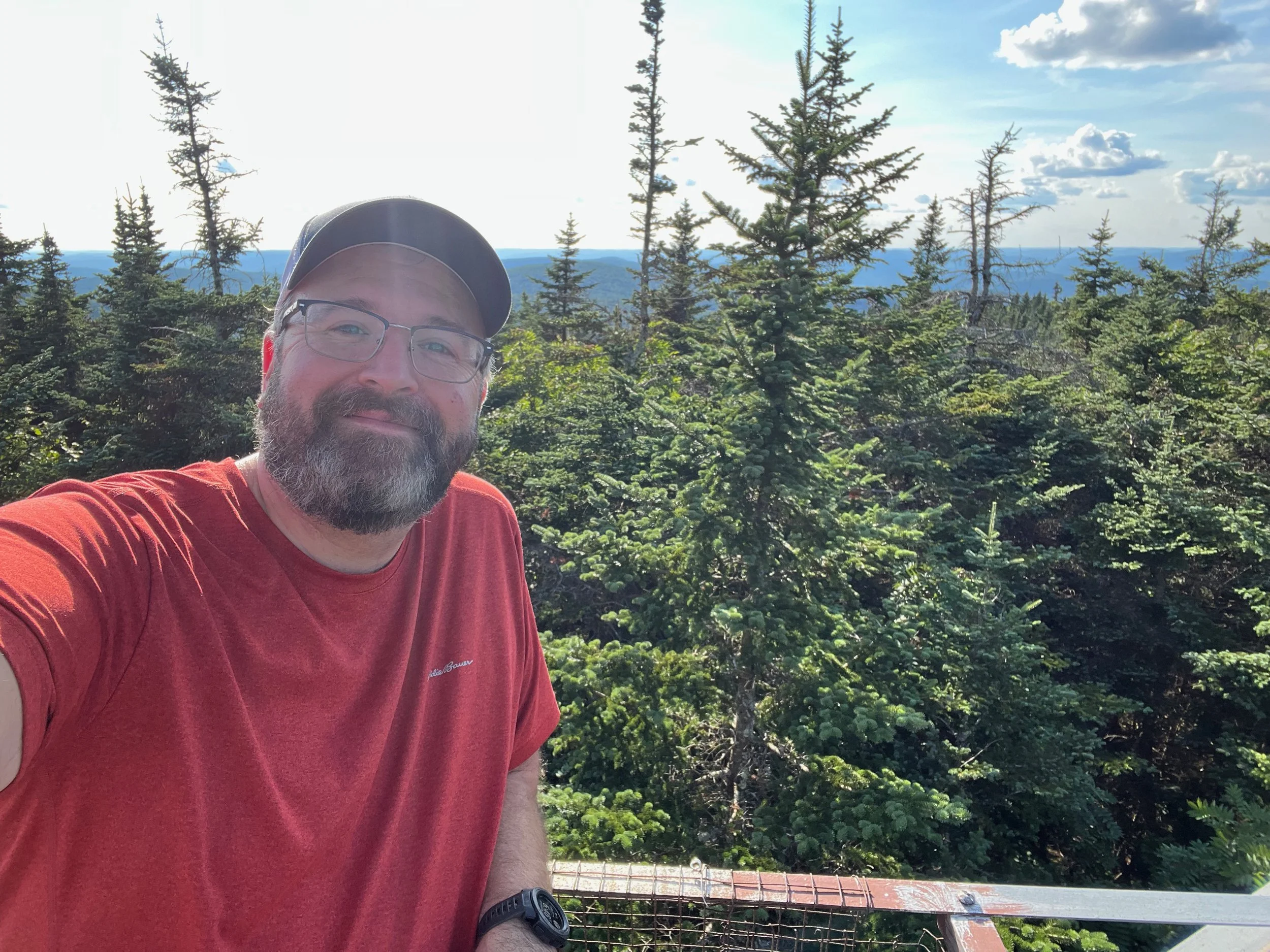
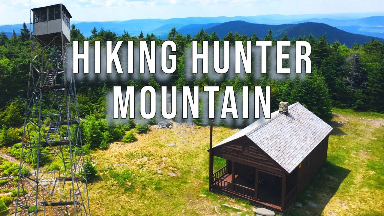
At the summit of the mountain sits the Hunter Mountain Fire Tower, which is the highest (elevation wise) fire tower in New York State. There’s also a small cabin next to the fire tower, that was used by Observers to spend the night. These towers used to be staffed by Observers who would watch the surrounding forests for fires and if smoke was spotted, would call in the location of the fire, so that it could be quickly dealt with. Today airplane and satellite surveillance has replaced the need for fire watching - so the towers are now staffed by volunteers from the Catskill Center’s Catskill Fire Tower Project on weekends to help welcome visitors and interpret the Catskill Park and surrounding areas.
From the summit, you follow the Hunter Mountain Trail for about 1.6 miles, first across the relatively flat summit area to the intersection with the Becker Hollow Trail, followed by a generally gentle descent to the intersection with the Devil’s Path and the Devil’s Acre Lean-to just beyond.
The Devil’s Acre Lean-to is situated between Hunter Mountain and Southwest Hunter Mountain, and was home to a logging camp more than 100 years ago. This camp was quite extensive and the loggers employed a number of short, narrow gauge railroads that extended out beyond the camp across the mountains to collect timber. That timber was brought back to the camp, and then sent down to Lanesville for processing and shipment out of the Catskills. You can learn more about the history of these mountain railroads in Michael Kudish’s book Mountain Railroads of New York State, Vol. 4: Where Did the Tracks Go in the Catskills?
The Devil’s Path goes by the lean-to, ascends to the height of land between the two mountains, and then begins to descend fairly steeply towards Diamond Notch. The trail is rocky and washed out in many places, and footing isn’t always secure. This is a good place to take your time descending. After 2.2 miles, the Devil’s Path intersects with the Diamond Notch Trail right at Diamond Notch Falls.
From the trail junction, you follow the Diamond Notch Trail about 1 mile to the north, where it ends at Spruceton Road. The trail gently descends, following Spruceton Creek along the way and there are a number of beautiful cascades in the creek you go by.
Once at Spruceton Road, you walk about a half of a mile on Spruceton Road. You’ll pass the parking area for the Diamond Notch Trail on your left, and then you’ll come to the Spruceton Trailhead and parking area on your right.
🥾 Hunter Mountain Loop Trail Details
Trailhead: Spruceton Road Trailhead (on Google Maps)
Distance: ~ 9 miles
Elevation Gain: ~2,200 feet
Difficulty: Moderate to Challenging
Features: Scenic vistas, fire tower, boreal forest, historic sites
Dog Friendly: Yes, on leash
Permits/Fees: None required
Best For: Day hikers seeking panoramic views, peakbaggers working on the Catskill 3500 list, lovers of fire towers
Planning a Catskills hike? Our Catskills Hiking Guide covers all trails, camping rules, and maps.
For more information on the Hunter Mountain Loop hike
You can find this hike on:
Additional Catskill Park information available at the Catskills Visitor Center (5096 Route 28 in Mt. Tremper)
Hike On Guides: Need help on a hike like this? Moe is a NYS licensed hiking and backpacking guide. You can hire him for Hiking, Backpacking and Camping Guide Services at Hike On Guides for hikes in New York, New Hampshire, Vermont, and Massachusetts.
Gear we used on this hike:
Hydration and nutrition for this hike:
Some product links are affiliate links and we earn from qualifying purchases. Others are links through the Amazon Influencer program and as an Amazon Influencer, we earn from qualifying purchases. Still others, we just want you to know about some good gear we enjoy!
Important Hiking Considerations:
Weather: Check the weather forecast before your hike and be prepared for changes in conditions.
Safety: Some sections of trail can be steep and rocky, others can be muddy, so use caution and always watch your footing.
Leave No Trace: As with any outdoor activity, remember to follow the principles of Leave No Trace. Pack out any trash, stay on the trail, and be respectful of the natural environment.