Hiking Slide, Cornell, Wittenberg, Cross, Pleasant and Romer Mountains in the Catskills
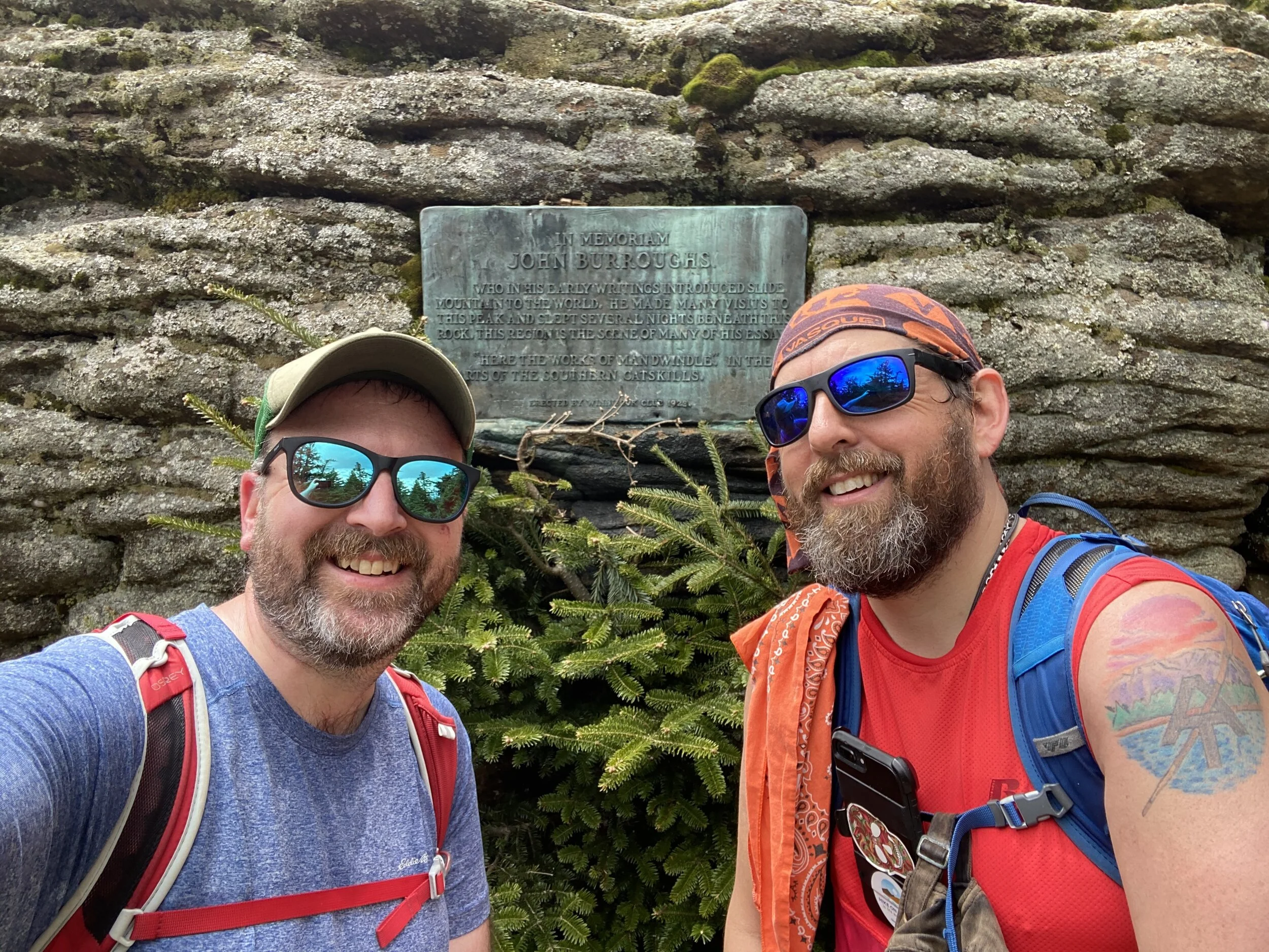
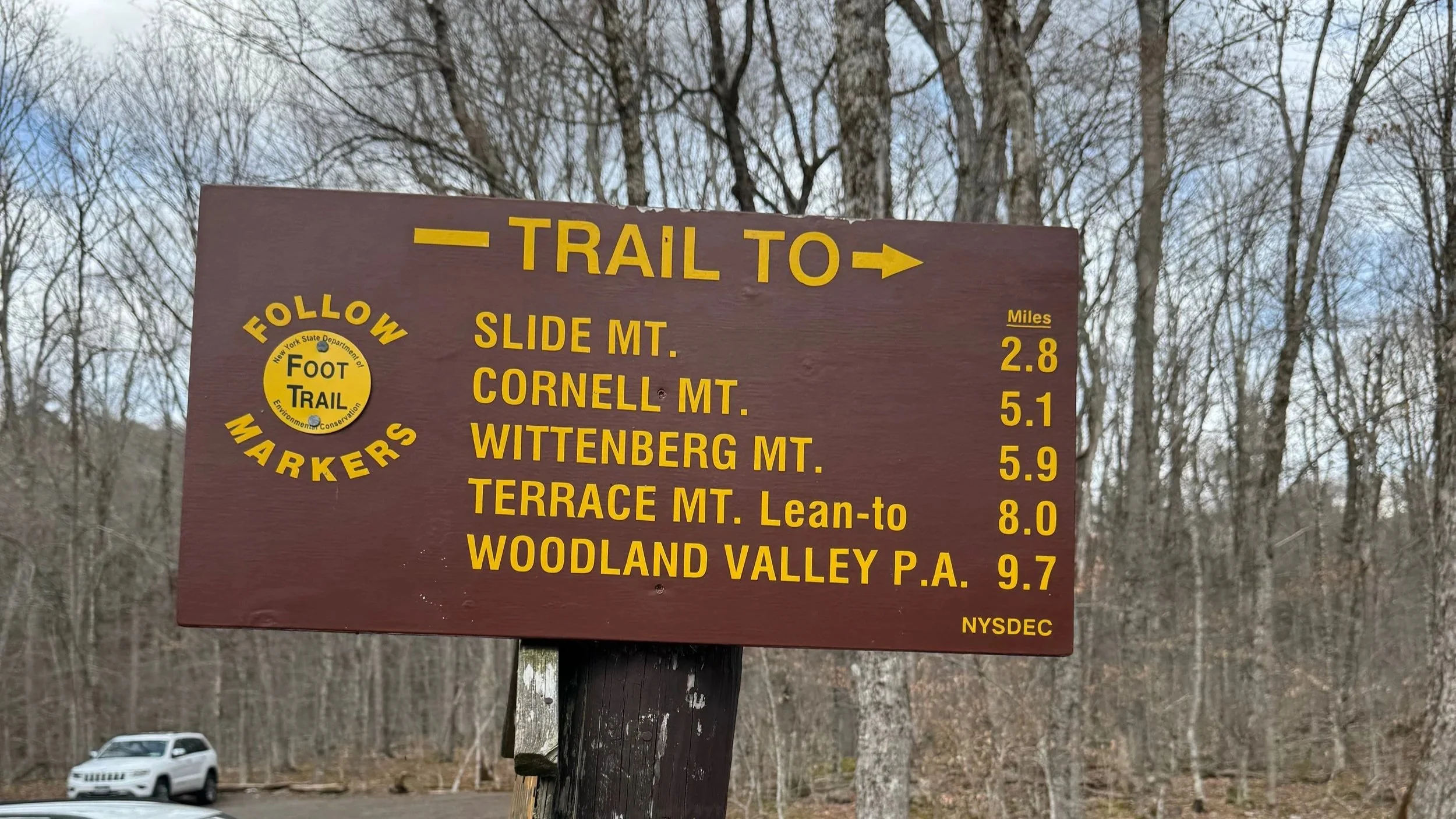
Traveling through the heart of the Slide Mountain Wilderness Area, this 17 mile hike took us from the Slide Mountain Parking Area on County Route 47 to the Lane Street Trailhead just outside of Phoenicia. We followed a portion of the Burroughs Range Trail (also known as the Wittenberg-Cornell-Slide Trail) and a portion of the Phoenicia East Branch Trail (both of which are part of the Long Path) to complete the hike over Slide Mountain, Cornell Mountain, Wittenberg Mountain, Cross Mountain, Mount Pleasant, and Romer Mountain.
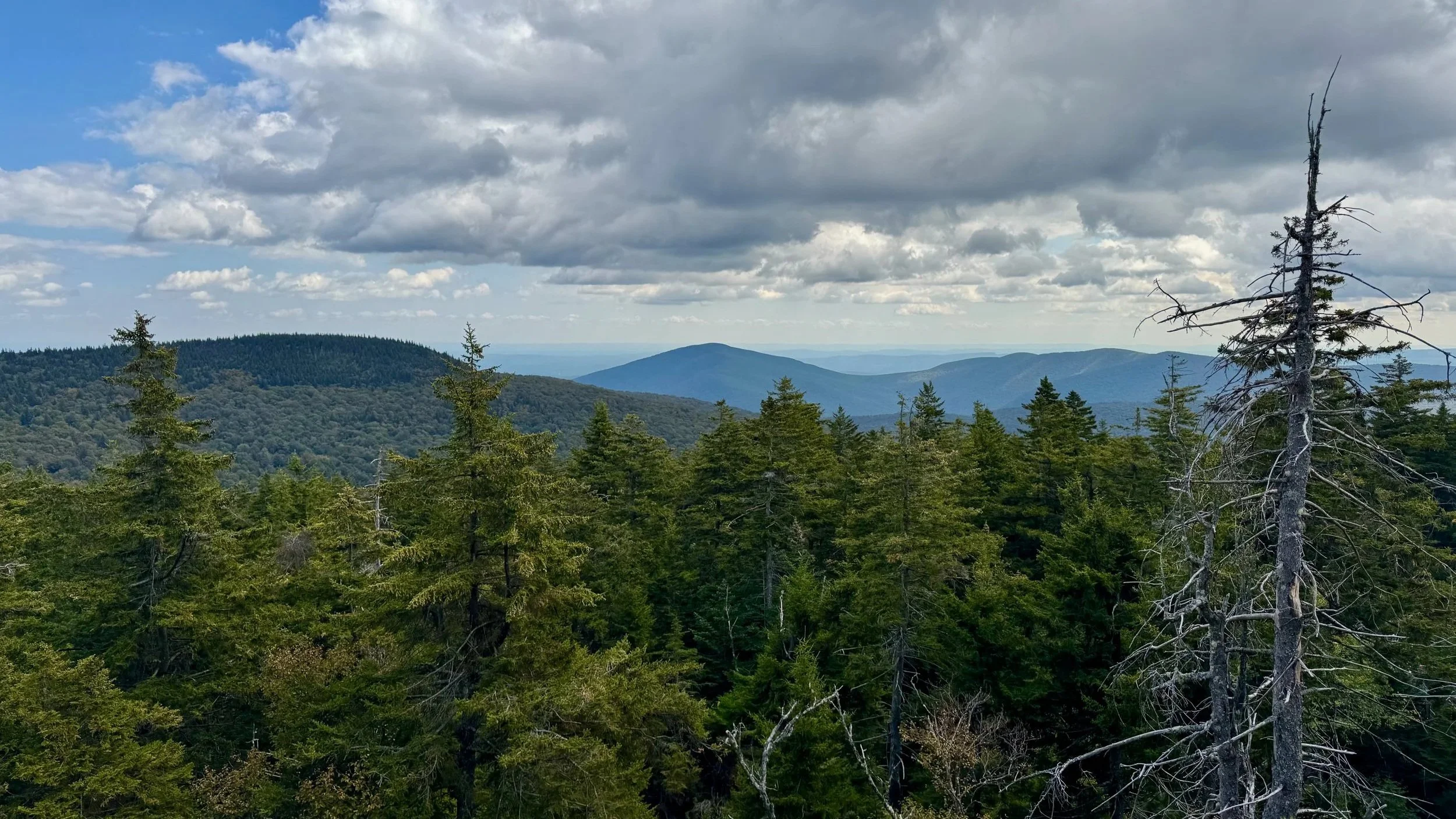
Along the way the trail climbs the highest peak of the Catskills, Slide Mountain at 4184 feet, and then traverses one of the most wild and scenic wilderness areas of the Catskills.
Beginning at the Slide Mountain Parking Area we followed the Phoenicia East Branch Trail to its intersection with the Curtis-Ormsbee Trail. From there we followed the Curtis-Ormsbee Trail up Slide Mountain to the intersection with the Burroughs Range/Wittenberg-Cornell-Slide Trail. Once on Slide Mountain, we followed the Burroughs Range Trail (also known as the Wittenberg-Cornell-Slide Trail) from there across the summit of Slide, Cornell and Wittenberg, before Jeff turned off that trail and on to the Phoenicia East Branch Trail. Jeff followed the Phoenicia East Branch Trail north to its trailhead on Lane Street, just outside the Village of Phoenicia. Moe was leading Hike on Guides clients and stayed on the Burroughs Range Trail down to the Woodland Valley State Campground.
Along the way there are some interesting climbs and descents through rock ledges, the most spectacular being the Cornell Crack, located just to the north of Cornell's summit on the way down to the notch with Wittenberg. This rock ledge features a large crack that makes it possible to climb through.
Overall this route was 17 miles long with more than 3000 feet of elevation gained.
For a complete overview of all Catskills trails and planning tips, check out our Catskills Hiking Guide.
You can find more information about this hike with:
The New York New Jersey Trail Conference's Catskill Trails Map Set
National Geographic’s Trails Illustrated Map for the Catskill Park
For additional information about the Catskill Park and outdoor recreation in the Park, visit the Catskills Visitor Center.
Don’t know where to start with hiking, backpacking, and camping? We can help you! Visit our professional Outdoor Hiking, Backpacking and Camping Guide Services Company at Hike On Guides.
Gear we used on this hike:
(Product links are affiliate links, so if you purchase something through them, it helps us out)