Climbing Mount Madison (5,366') - NH 4000 Footer - Via Howker Ridge Trail
Climbing Mount Madison via Howker Ridge | NH 4000 Footer Hike
Tackle Mount Madison (5,366 ft) in the White Mountains via the scenic and rugged Howker Ridge Trail—an unforgettable New Hampshire 4000 Footer adventure.
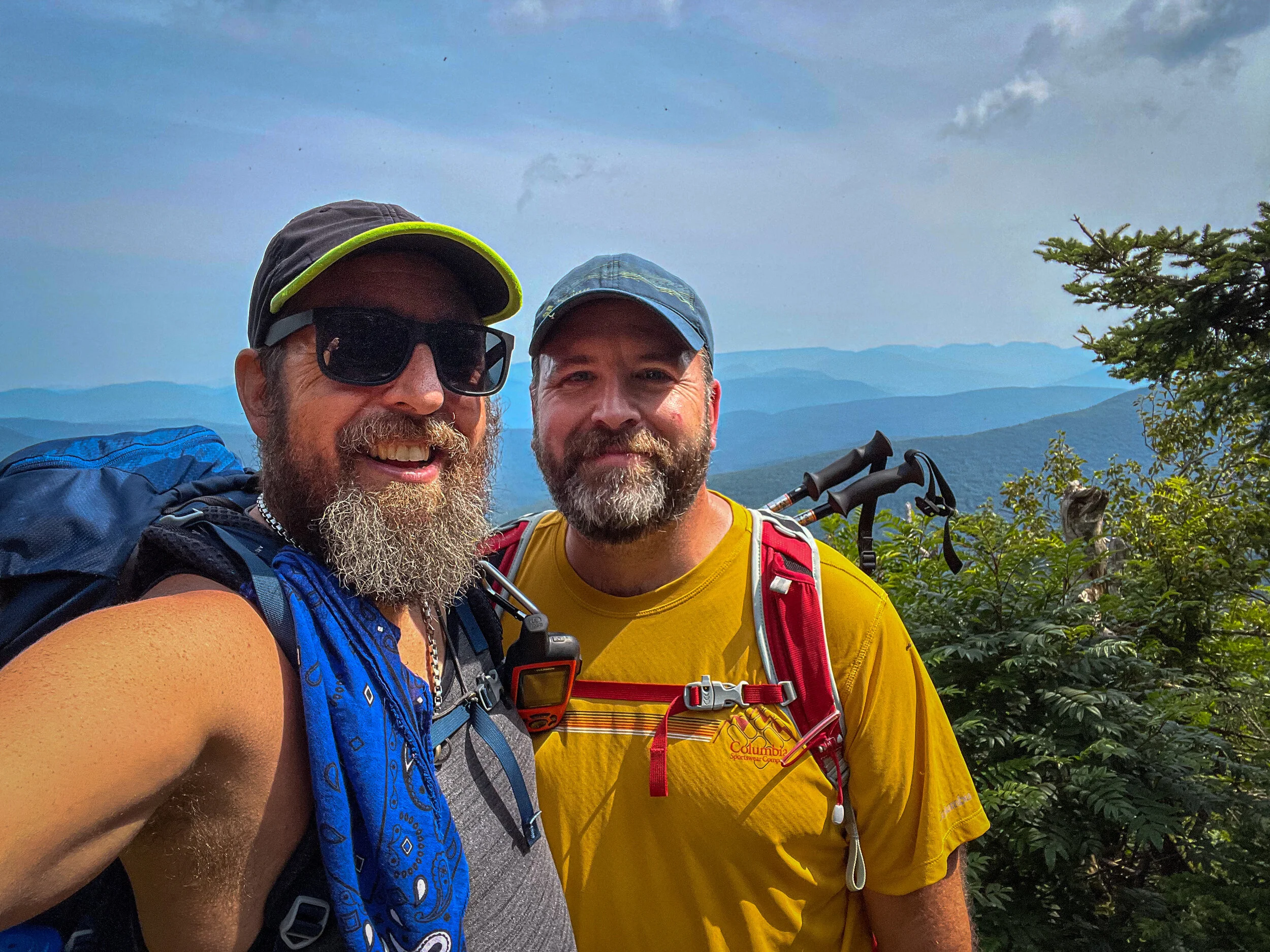
Standing tall at 5,366 feet in elevation in the White Mountains of New Hampshire, Mount Madison is the northernmost mountain in the Presidential Range. Mount Madison and the Presidentials, including nearby Mount Adams, Mount Jefferson and Mount Washington all rise well above treeline into the alpine zone. Weather can be very changeable and harsh without much notice. On this trip, we lucked out with clear skies, but a steady wind.
Mount Madison via Howker Ridge Trail Description
We began our hike up Mount Madison at the Appalachia Trailhead on Route 2, just outside of Gorham, NH. Note that this is a very busy trailhead and it fills up fast. We arrived around 7:45am on a Sunday and the parking lot was already full. Parking is allowed along Route 2, but make sure you are well off the roadway, don’t block any side roads, and follow any posted parking signs.
The Appalachia Trailhead is the start to dozens of trails that make their way across, around and up the northern Presidential Range (Mount Madison, Mount Adams, and Mount Jefferson). Because there are so many trails and so many trail junctions, it is a very wise choice to bring a map with you, since it can be quite easy to get turned around, or simply confused about where you are.
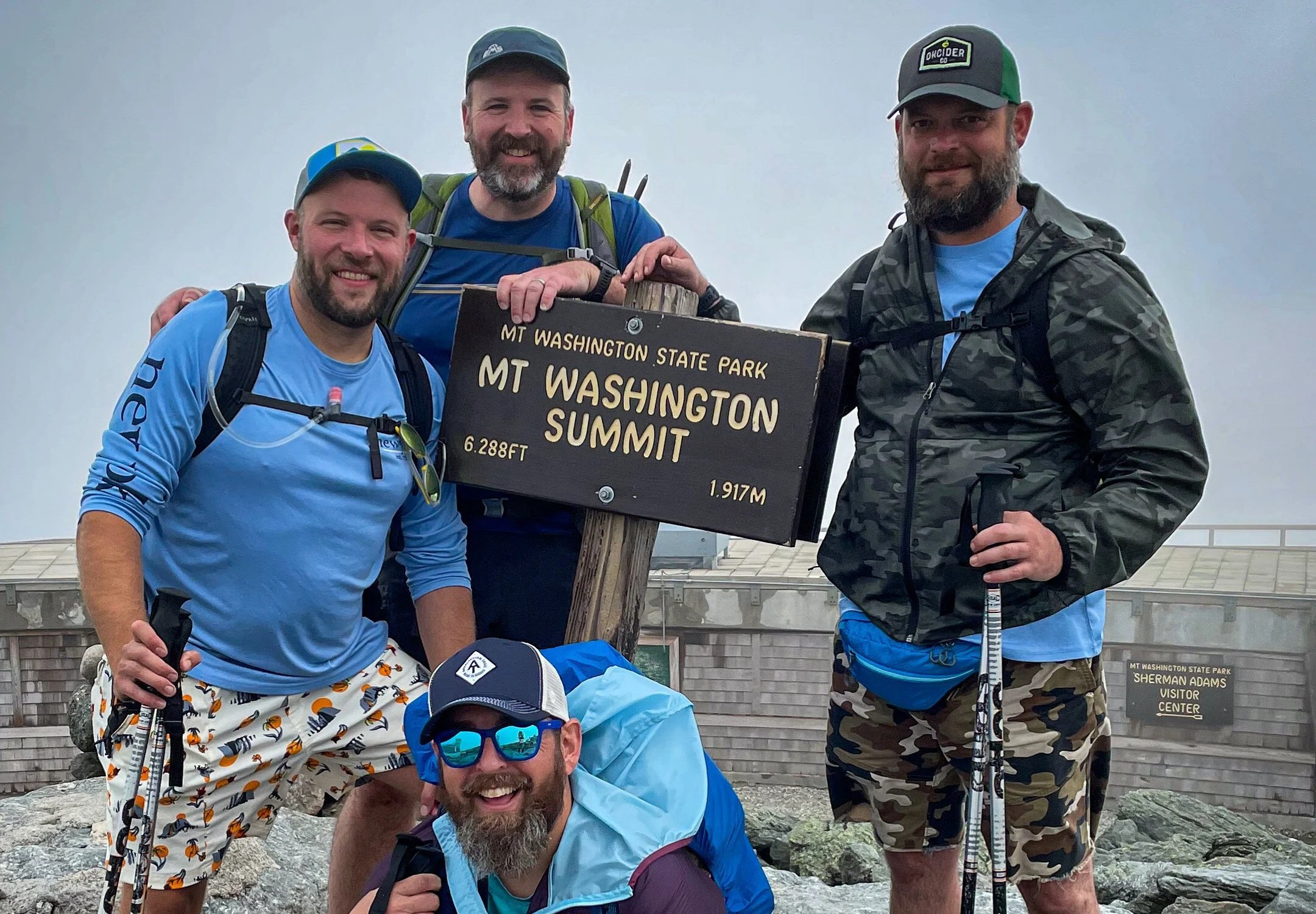
To reach Mount Madison, from Appalachia, we took the Sylvan Way Trail to the Howker Ridge Trail. The Howker Ridge Trail climbs steeply after Hitchcock Falls, making its way over a series of small peaks on the ridge, intersecting with the Pine Link Trail, and then ending above treeline at the intersection with the Osgood Trail (which is also the Appalachian Trail). From there, we followed the Osgood Trail over the summit of Mount Madison and down to the Madison Spring Hut.
The Appalachian Mountain Club huts are always a welcome break from a hike in the White Mountains. They offer a comfortable place to rest, restrooms, clean water, and if you want to spend a few dollars, freshly baked goods and coffee.
After resting at the hut, we made our way over to the Airline Trail (via the Airline Cutoff) to descend back to Appalachia. The Airline is one of the most scenic trails in the area, following a narrow ridge along the edge of King's Ravine, offering views both up the mountain and down into the valley. The trail descends more than 3500 feet to Appalachia, so your knees will definitely feel it by the end!
This was a 10 mile hike with about 4,300 feet of elevation gain. We'd classify this as a difficult hike, with rock scrambles, a few small climbs over large rocks, and then a very long and rocky descent on the Airline.
🥾 Trail Details
Trailhead: Appalachia Parking Lot, Route 2, Randolph, NH
Route: Howker Ridge Trail → Osgood Trail (to summit) → Return via same route
Distance: 10.0 miles round-trip
Elevation Gain: ~4,300 feet
Difficulty: Hard
Highest Point: Mount Madison – 5,366'
Dogs: Allowed, but not recommended due to scrambles and exposure
Parking: Large lot at Appalachia trailhead – can fill quickly on weekends
Don’t know where to start with hiking, backpacking, and camping? We can help you! Visit our professional Outdoor Hiking, Backpacking and Camping Guide Services Company at Hike On Guides.
Gear we used on this video:
Hydration and Nutrition: