Appalachian Trail Section Hike: Longhouse Drive (NJ) to South Mountain Pass Road (NY)
Hiking the Appalachian Trail in New York
Join the us on a 50-mile northbound Appalachian Trail section hike from Longhouse Drive, NJ to South Mountain Pass Road, NY. Highlights include Bellvale Farms Creamery, the Lemon Squeezer, and Bear Mountain.
Over 3 1/2 days we backpacked northbound 50 miles on the Appalachian Trail from Longhouse Drive in northern New Jersey to South Mountain Pass Road just east of the Hudson River, Bear Mountain Bridge and Anthony's Nose. Along the way we passed the Bellvale Farms Creamery (amazing ice cream), the Lemon Squeezer, Bear Mountain, and much, much more.
Appalachian Trail Day 1 - Longhouse Drive (NJ) to Cascade Brook
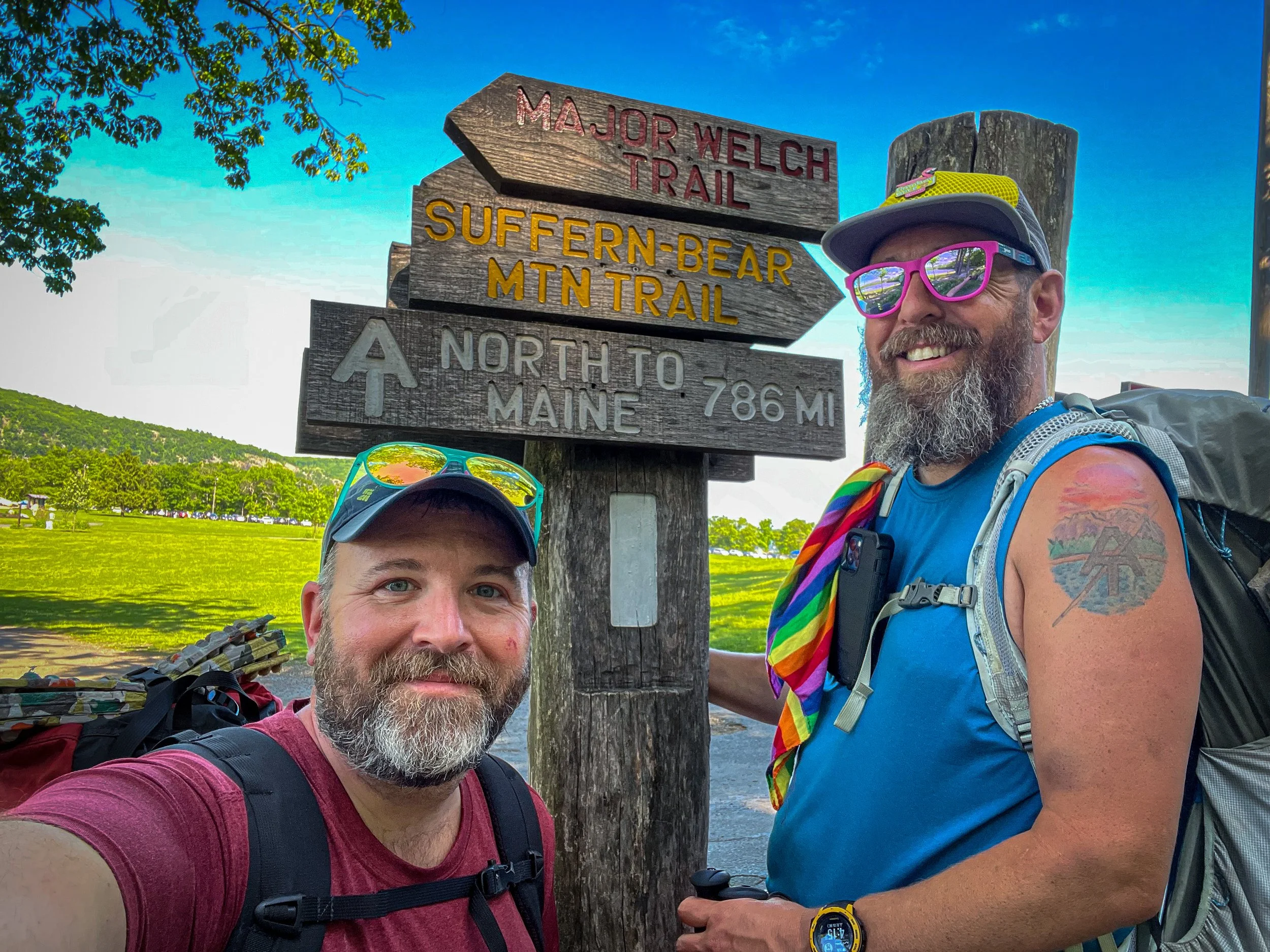
We began the first day in the evening at Longhouse Drive in New Jersey after getting downstate and shuttling cars. The Appalachian Trail crossing at Longhouse Drive is about 2 miles south of the New York/New Jersey state line on the Appalachian Trail. We hit the trail around 7pm and had some daylight for the first hour or so of hiking, so we had the headlamps on when we started so we wouldn’t have to stop to dig them out. We ended up hiking a little over 5 miles and set up camp near Cascade Brook. Despite the late start to our adventure, we all enjoyed it, including the rock scrambling on the Appalachian Trail by headlamp!
5.2 miles
764 feet of elevation gain
Appalachian Trail Day 2 - Cascade Brook to Little Dam Pond Outlet
Day 2 included arguably one of the most exciting destinations in this portion of the AT for any hiker, the Bellvale Farms Creamery. Offering some excellent ice cream, it’s a worthy stop for all hikers - day, section, or thru - to enjoy locally made ice cream. The creamery also offers a water refill station and some plugs for those who need to charge devices.
From camp at Cascade Brook we hiked on the ridge above Greenwood Lake to the crossing of Route 17a where the Creamery is located. From there we continued along the ridge for a bit before turning eastward, descending down to Dutch Hollow Road, and crossing a series of ridges as we made our way to West Mombasha Road, then over Buchanan Mountain, and across East Mombasha Road before reaching our campsite for the night near the outlet to Little Dam Pond.
15 miles
2008 feet of elevation gain
Appalachian Trail Day 3 - Little Dam Outlet to William Brien Shelter
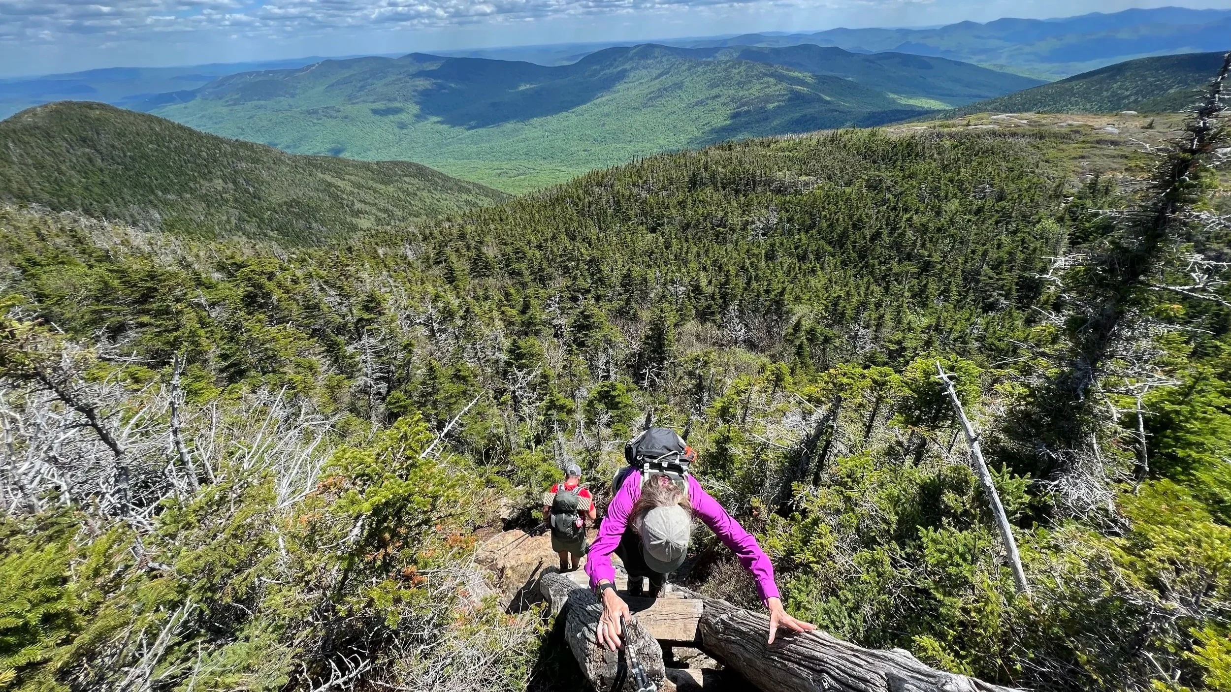
On the morning of Day 3 we packed up and left the site near Little Dam Pond and continued traveling east towards the NYS Thruway. After some ups and downs, we descended steeply to Route 17 where we found some unexpected trail magic! Then across the Thruway on Arden Valley Road. From Arden Valley Road we entered into Harriman and Bear Mountain State Park and began hiking in a generally northeastward direction through the park towards the Bear Mountain Bridge. We passed through the Lemon Squeezer, a tight bit of rock to squeeze through, made our way over Island Pond Mountain, passed the Fingerboard Shelter (where we heard a bear harassed campers that night), and took a break at the picnic area at Tiorati Circle, where one of Moe’s wonderful AT volunteers (Thank You Jodi!) had made dinner and had a full set up for the three of us. We ate and ate and ate and then headed back on the trail another 3 or so miles to the William Brien Shelter. The shelter was already taken and there were already some campers when we arrived, so we quietly set up camp and without having to worry about making dinner, we all just crawled into our tents and hammocks and called it a night.
15.5 miles
3,140 feet of elevation gain
Appalachian Trail Day 4 - William Brien Shelter to South Mountain Pass Road (Trip’s End)
We thankfully weren’t bothered by any bears at the shelter and broke camp without much fanfare as we got back on the trail to head towards the car across the Hudson River. Three things were exciting for today though: 1) vending machines on top of Bear Mountain; 2) hamburgers at the Bear Mountain Inn; and 3) the car at South Mountain Pass Road.
The trail was rather moderate from the shelter all the way to Seven Lakes Drive. After the road, the trail began climbing Bear Mountain in earnest, but the trail construction there is such that it was all a pleasant walk. We enjoyed cold Cokes at the top of the mountain thanks to the vending machines, and then made our way down to the Bear Mountain Inn, where we all enjoyed a very big, late lunch of hamburgers and beers. After stuffing ourselves, we got back on the trail, walked down to the Bear Mountain Bridge, across it, and then began what felt like the toughest climb of the entire section - a very steep ascent from Route 9D to the Anthony’s Nose Trail. We decided to skip a hike out to Anthony’s Nose (Moe and I had both been there) and instead continued on the AT another mile and a half or so to the car at South Mountain Pass Road where we ended our section hike!
14 miles
2,825 feet of elevation gain
Overall Appalachian Trail Section Hike Stats:
49.6 miles
8,737 vertical feet
3 1/4 days worth of hiking
To volunteer on the Appalachian Trail in New York, visit the New York-New Jersey Trail Conference: https://www.nynjtc.org/volunteer-now
To learn more about the Appalachian Trail visit the Appalachian Trail Conservancy: https://appalachiantrail.org/
You can find more information on hiking the Appalachian Trail in New York on:
Backpacking Gear We Used on our Appalachian Trail Section Hike in New York
Hydration and nutrition for this Appalachian Trail hike:
Our Hiking Advice and Hiking Gear Recommendations
Some product links are affiliate links and we earn from qualifying purchases. Others are links through the Amazon Influencer program and as an Amazon Influencer, we earn from qualifying purchases. Still others, we just want you to know about some good gear we enjoy!