Mount Randolph Loop in the White Mountains Near Randolph, New Hampshire
Mount Randolph Loop in the White Mountains: A Quiet Hike on the Other Side of Appalachia
Hike Mount Randolph in the White Mountains of New Hampshire on a quiet 6-mile loop through the Randolph Community Forest, that offers a moderate climb, beautiful viewpoints along the way, and a secluded mountain summit. You might even see a moose along the way!
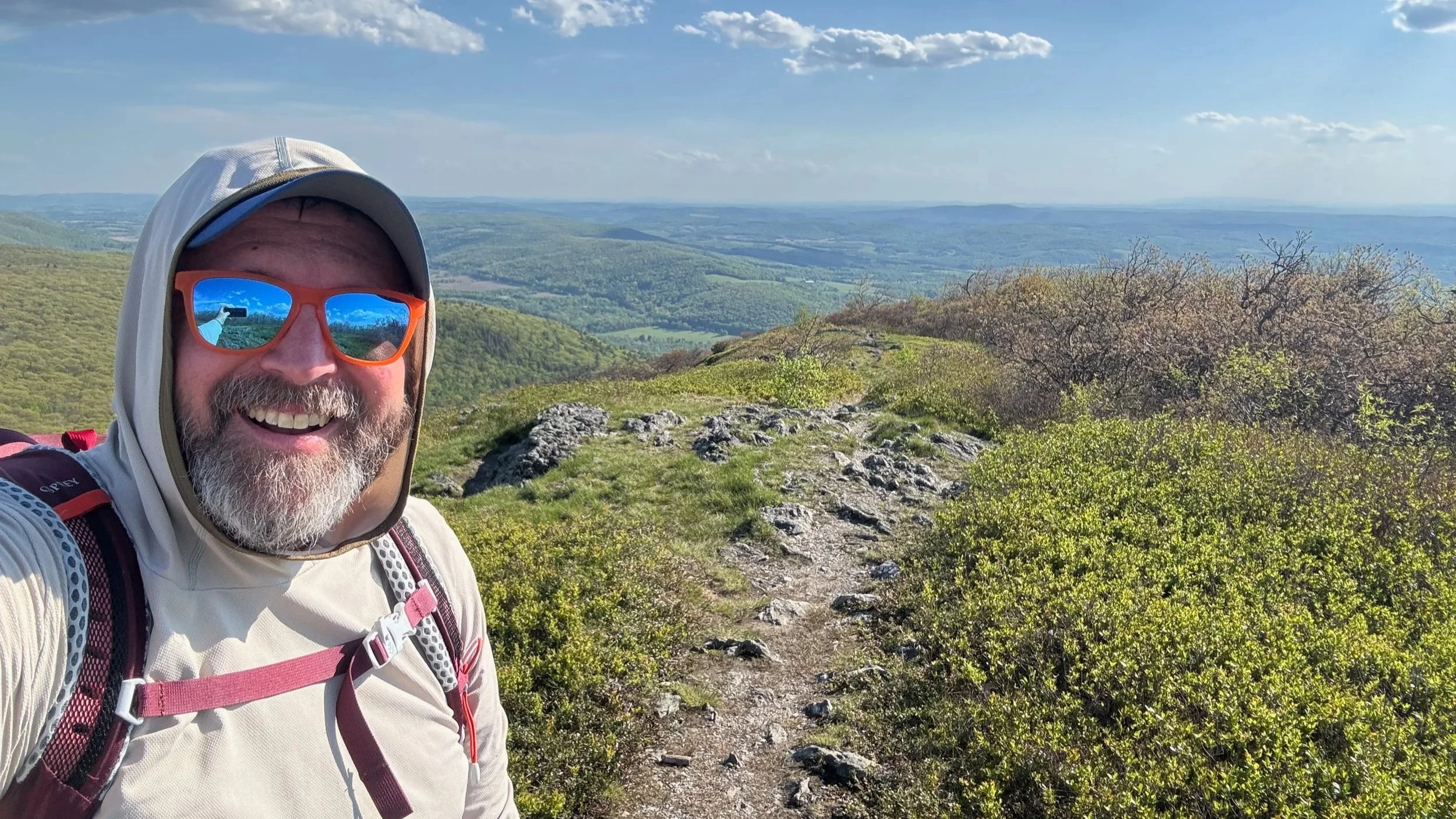
Mount Randolph is one of those White Mountains hikes that feels quietly tucked away from the busier peaks, but is just a stones throw away from the very busy Appalachia Trailhead on Route 2. We hiked this small loop in the Randolph Community Forest on a cold May day, and even with a little leftover winter in the weather, it was a great reminder that not every worthwhile White Mountains hike needs a summit above treeline or in a place where it feels crowded.
The trail network around Mount Randolph is extensive, with a mix of logging roads, connectors, and signed junctions that can make the loop feel a little more complicated than the mileage suggests, so having a good map matters here. Once you settle into the route, though, it becomes a pleasant forest climb with a quiet summit, a few small views, and a satisfying loop finish.
Trail Details
🧭 Trailhead: Randolph Community Forest trailhead on Town Road in Randolph, New Hampshire
🗺️ Route: Loop utilizing Interpretive Trails, Carlton Notch Trail, Crescent Ridge Trail over Mount Randolph, Four Soldiers Path, and Interpretive Trails
🥾 Distance: About 6 miles round trip
📈 Elevation Gain: About 1,500 feet
⚠️ Difficulty: Moderate
📱AllTrails Information: Mount Randolph Loop on AllTrails
🗺️ GPS Information: Mount Randolph Loop GPX Track
📸 Highlights: Multiple viewpoints along the loop, Quiet area, Lots of moose activity
👉 Best for: Hikers who want a quieter White Mountains loop
Mount Randolph Loop Overview
We started at the Randolph Community Forest trailhead at the end of Town Road in Randolph, New Hampshire. From the trailhead, the route begins on a logging road before turning onto the Carlton Notch Trail and climbing toward the ridge above town. The loop continues over Mount Randolph on the Crescent Ridge Trail and then drops back down on the far side, returning to the trailhead on the network of woods roads and the Four Soldiers Path.
The first part of the hike is relatively easy and straightforward, with a gradual climb through forest and old road grades. After the trail junctions near the start, the route becomes more committed as you head toward Carlton Notch and the terrain starts to gain elevation more steadily. From there, the trail tops out onto the ridge, makes its way over Mount Randolph, and then begins the descent back toward the logging road and trailhead.
The Approach to Carlton Notch
After parking and starting past the trailhead, you quickly reach the logging road system that serves as the opening to this hike. The route uses a handful of junctions early on, so this is the part of the loop where a map is especially useful. You will pass through a mix of road walking and connector trails before settling onto the Carlton Notch Trail.
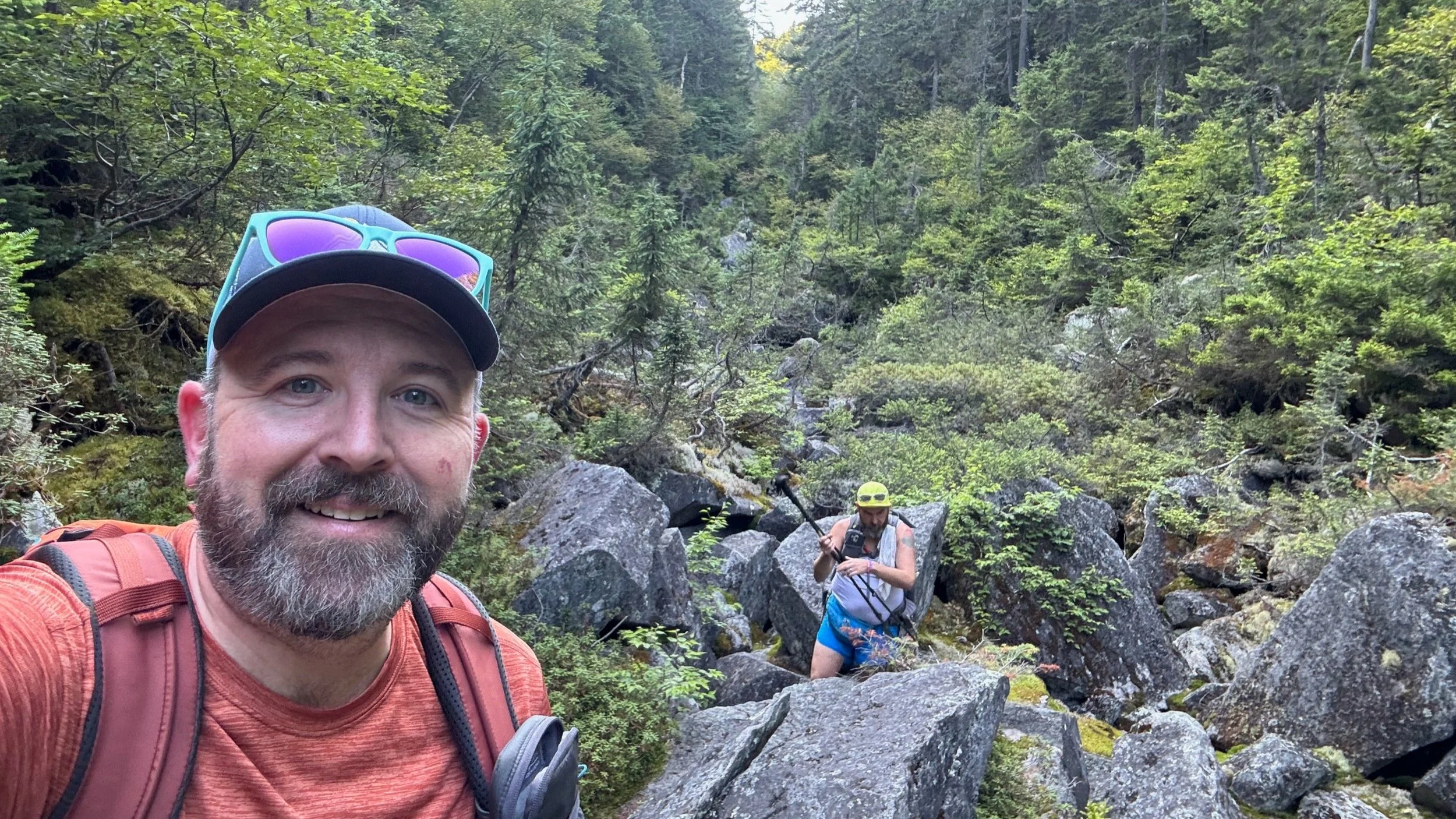
Once on the Carlton Notch Trail, the hike climbs through mixed White Mountains forest with a grade that starts off moderate and gradually becomes more sustained. The lower section gives you time to warm up, but the climb becomes more serious as you near the base of the mountain. From there, the trail starts to feel more like a true White Mountains hike with steeper grades and rougher trail conditions.
Over the Ridge
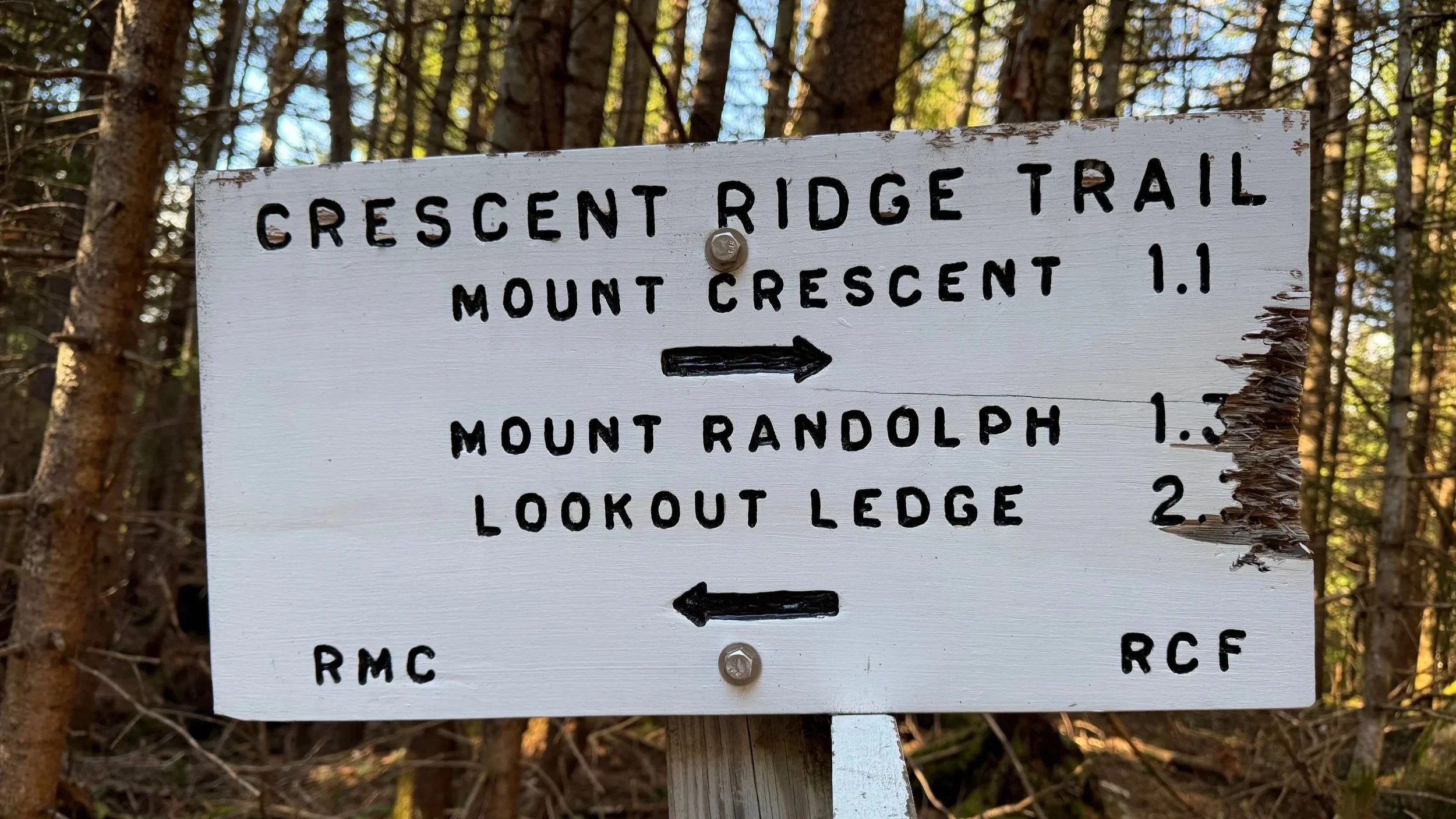
At the junction with the Crescent Ridge Trail in Carlton Notch, the trail follows the ridge between Mount Crescent and Mount Randolph. The climb over the ridge includes a small rise and dip before the final push to Mount Randolph, and the trail can feel a little steeper and wetter in spots depending on conditions.
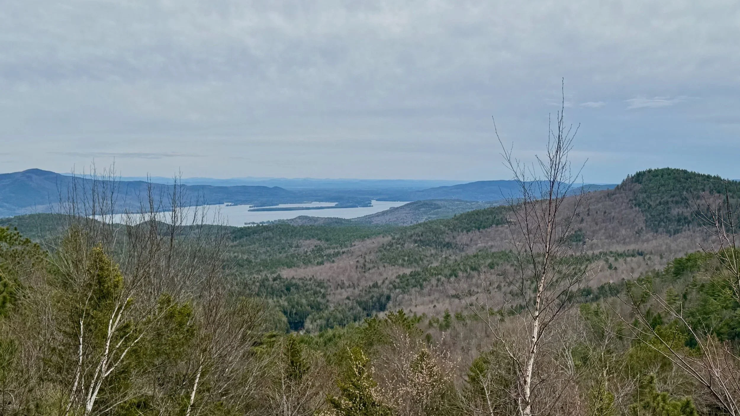
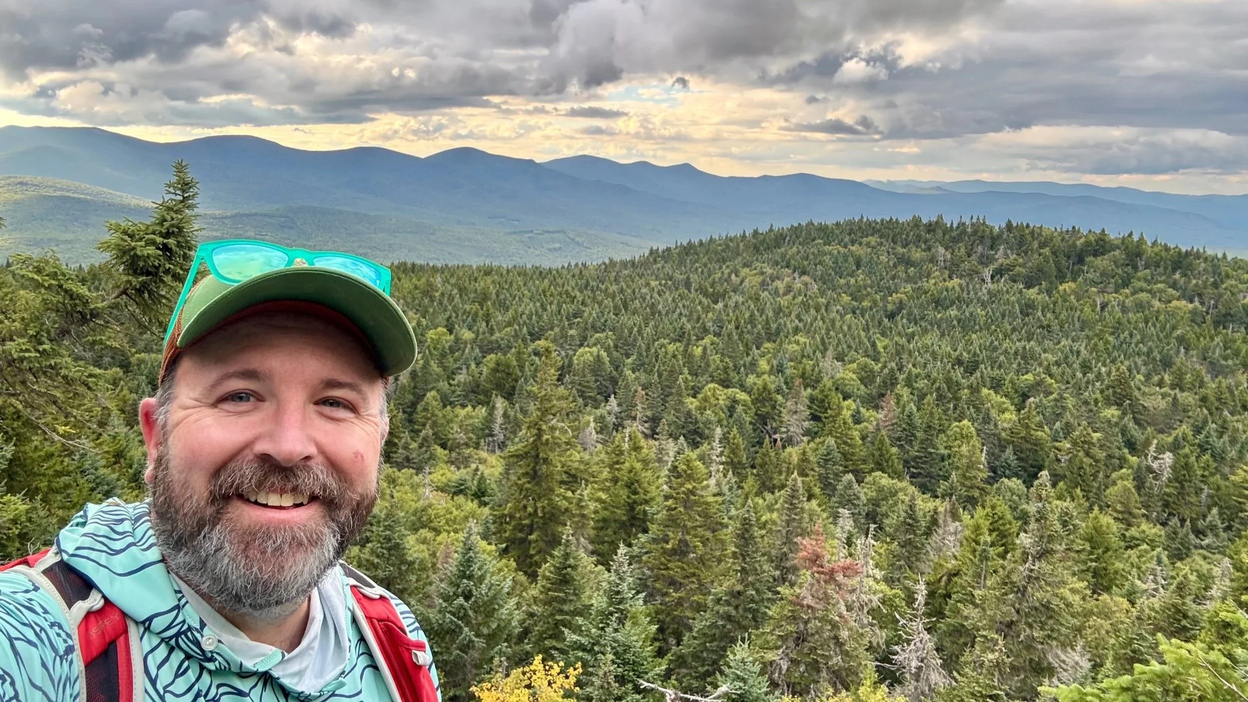
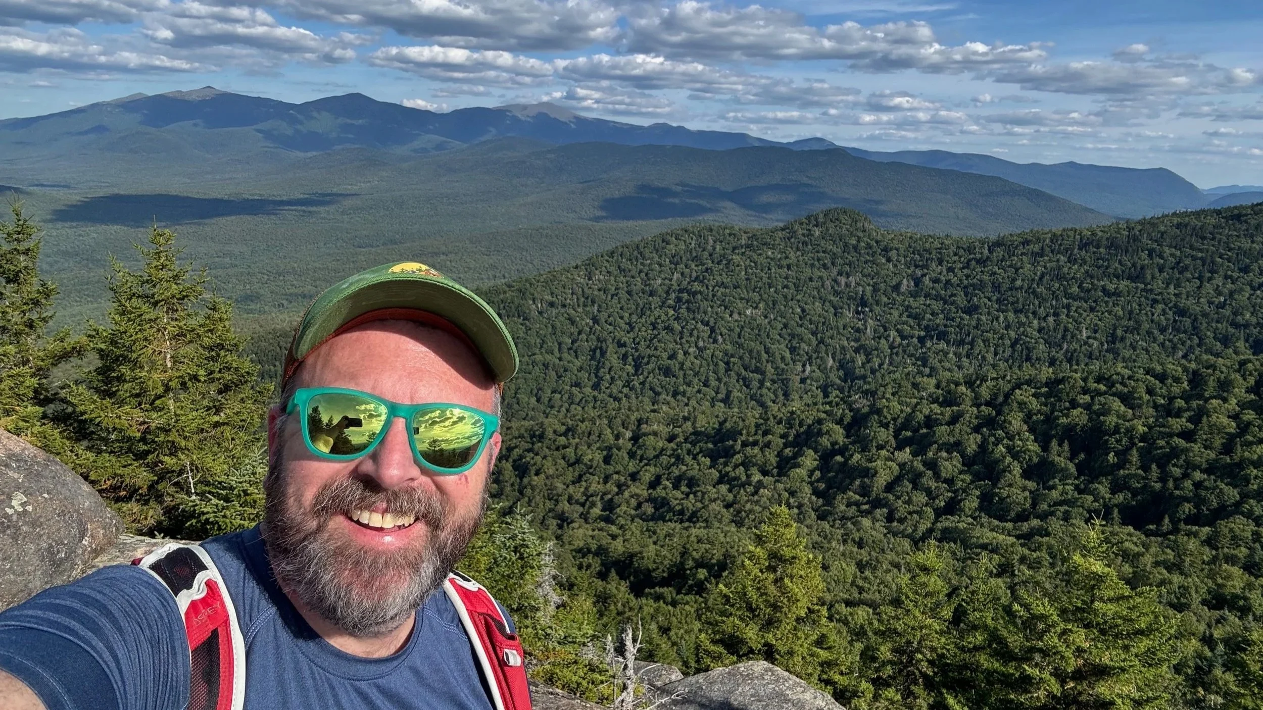
Before the summit you’ll pass two different viewpoints. One gives you a beautiful view across the valley to the northern Presidentials. Then just before the final push towards the top ou’ll pass a slightly more overgrown viewpoint that provides a view to the north and into NH’s north country.
The summit area of Mount Randolph is not open or dramatic in the way some White Mountains peaks are, but that is part of the appeal here. Mount Randolph sits in a spruce-fir forest that feels sheltered and local, with a wooded summit character that fits the quiet tone of the whole hike.
Return to Trailhead
After reaching the summit, the trail turns downhill and starts the return to the trailhead. From the top, the Crescent Ridge Trail eventually reaches the junction with the Four Soldiers Path, where careful navigation matters again because the trail system is not especially obvious in places. We followed the Four Soldiers Path to its first intersection with the main logging road and then followed the logging road back toward the trailhead instead of staying on the Four Soldiers Path to cut down on length and rough navigation on the little used trail.
The descent is straightforward, but you’ll need to pay attention because the trail and road intersections can lead you away from the car if you are not careful. Once you reconnect with the logging road system, the finish comes quickly, and the final walk back to the trailhead on Town Road is a simple, satisfying end to the loop.
Planning Notes
A map is essential on this hike because the trail network includes multiple trails, old roads, and lots of intersections that can be easy to mix up. The route is not especially long, but it is not completely hands-off either, and the loop is much smoother when you know where you need to be. Having both a digital map and a printed White Mountains map makes a lot of sense here.
Closing Thoughts
Mount Randolph is a good reminder that some of the best White Mountains hikes are not the biggest ones. It gives you a real climb, a wooded summit, a few small views, and a route that feels satisfying because you had to pay attention the whole way through. If you want a quieter outing in the Randolph area with enough trail complexity to keep things interesting, this loop fits the bill.
Tips for Hiking Mount Randolph
Footwear: The trail is rocky and steep in sections - wear sturdy boots or trail shoes.
Navigation: There are many trail junctions and trails, so a quality map is a necessity.
Parking: The lot on Town Road is moderate in size, but usually not full, a perk compared to other White Mountains trailheads.
Timing: Allow 4–6 hours for the full hike, depending on your pace and how long you linger at the viewpoints.
For More Information About the Mount Randolph Loop Hike
More Hikes near Mount Randolph
Hiking and Backpacking Gear List
More of our White Mountains hikes on YouTube
Important Hiking Considerations:
Weather: Check the weather forecast before your hike and be prepared for changes in conditions.
Safety: Some sections of trail can be steep and rocky, others can be muddy, so use caution and always watch your footing.
Leave No Trace: As with any outdoor activity, remember to follow the principles of Leave No Trace. Pack out any trash, stay on the trail, and be respectful of the natural environment.