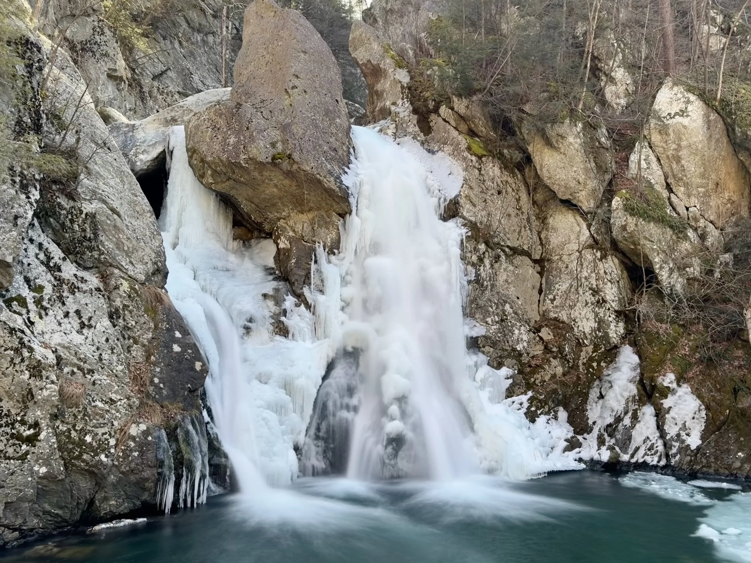
Bash Bish Falls from Bash Bish Falls State Park Trailhead - Short, but steep access to the tallest waterfall in Massachusetts
Bash Bish Falls is on the western edge of the Berkshire Mountains in Bash Bish Falls State Park, and is the tallest waterfall in Massachusetts. The Falls are accessible from two different trailheads, one in Massachusetts and one in New York. For this hike, we took the shorter, but much steeper route from the Massachusetts trailhead down to Bash Bish Falls, but not before we took a short side trip to a scenic overlook.
While it is a popular destination and gets crowded in warmer weather, Bash Bish Falls is a beautiful natural wonder that plunges dramatically over a series of rugged rock formations.
To access Bash Bish Falls from Bash Bish Falls State Park in MA, the trailhead parking is located on Falls Road (Route 344 in NY) just to the east of the Village of Copake Falls, NY and the NY/MA State line.
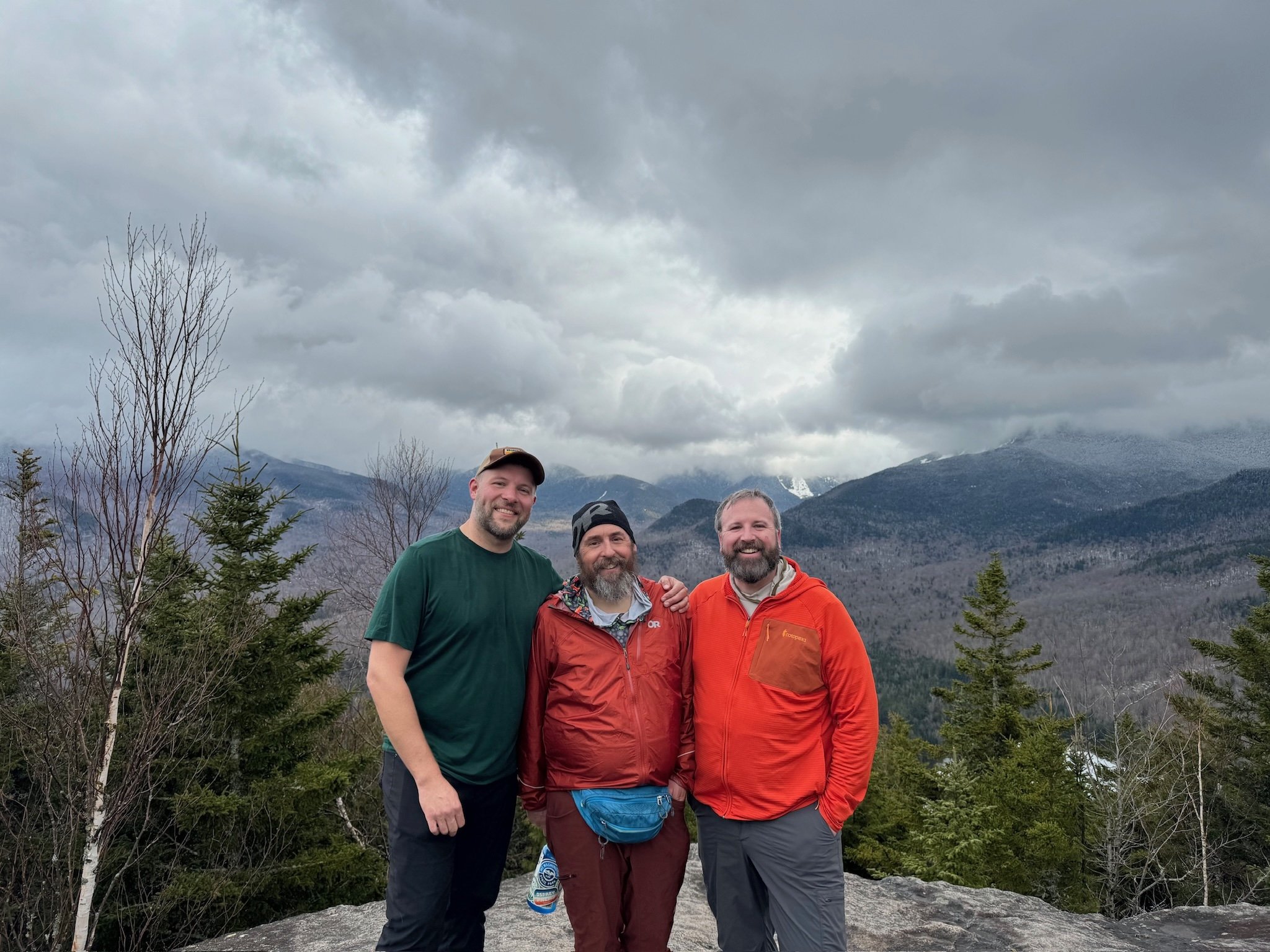
From the trailhead, it's an approximately 1/3 of a mile long hike to Bash Bish Falls, but it is worth taking the short hike out to the viewpoint overlooking the Bash Bish Creek valley and the Hudson Valley beyond. On a clear day, the Catskills are clearly visible to the west. The hike to the viewpoint is maybe a tenth of a mile, but it does climb steeply up some rocks right from the parking area and could be difficult for some. Good hiking shoes are very helpful here!
To get to Bash Bish Falls from the trailhead, the trail quickly and quite steeply descends immediately after the parking lot. Once you reach the falls, there's a viewing area above the falls, and you can take a short trail and staircase down to the base of the falls. You'll return the same way you came, this time with a heart pumping hike back up to the trailhead and parking area for a total of a 0.6 mile (2/3 of a mile) long hike.
For More Information
You can find out more about this this hike here:
Our Hiking Advice and Hiking Gear Recommendations
Gear we used on this hike:
Some product links are affiliate links and we earn from qualifying purchases. Others are links through the Amazon Influencer program and as an Amazon Influencer, we earn from qualifying purchases. Still others, we just want you to know about some good gear we enjoy!
Important Hiking Considerations:
Weather: Always check the weather forecast before your hike and be prepared for changes in conditions.
Safety: Some sections of the trail can be steep and rocky, or have loose footing, so always use caution and watch your footing when hiking.
Leave No Trace: As with any outdoor activity, remember to follow the principles of Leave No Trace. Pack out any trash, stay on the trail, and be respectful of the natural environment.