Falls Trail Loop Hiking Guide: Keystone Ancient Forest, Sand Springs OK
Hiking Keystone Ancient Forest’s Falls Trail Loop
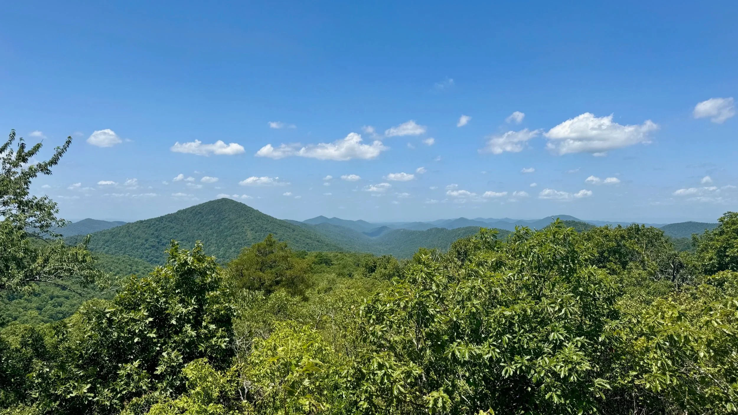
The Falls Trail Loop in Keystone Ancient Forest Preserve offers hikers a 4.5-mile moderate loop through one of Oklahoma's largest remnants of the Cross Timbers ecoregion. Located about 30 minutes west of downtown Tulsa in Sand Springs, this hike features two intermittent waterfalls, ancient post oaks exceeding 300 years in age, cedar trees over 500 years old, and dramatic waterfalls and rock formations along creek drainages.
With approximately 500 feet of elevation gain, the route combines wide fire roads with singletrack trail descents into ravines, making it suitable for intermediate hikers seeking a backcountry experience close to Tulsa without a long drive to the Ouachita or Wichita Mountains. The trail originates at the Visitor Center, providing access to restrooms, maps, and informational displays before or after your hike.
Falls Loop Trail Details
🧭 Trailhead: Keystone Ancient Forest Visitor Center, 160 Ancient Forest Dr, Sand Springs, OK 74063 (Google Maps)
🥾 Distance: 4.5 miles (loop)
📈 Elevation Gain: ~500 feet
⚠️ Difficulty: Moderate
📱 AllTrails Information: Trail Route and Information in AllTrails
Best For: Intermediate day hikers, waterfall enthusiasts
Highlights: Intermittent waterfalls and ancient Cross Timbers forest
Falls Trail Loop Hike Description
Begin at the Visitor Center parking area and follow the Fire Access Road Trail, a wide dirt road with easy footing, for about 0.7 miles with gentle climbing at first and then an almost level walk. Pass the first junction with the Falls Trail and continue to the second Falls Trail intersection, where you will turn left onto the Falls Trail.
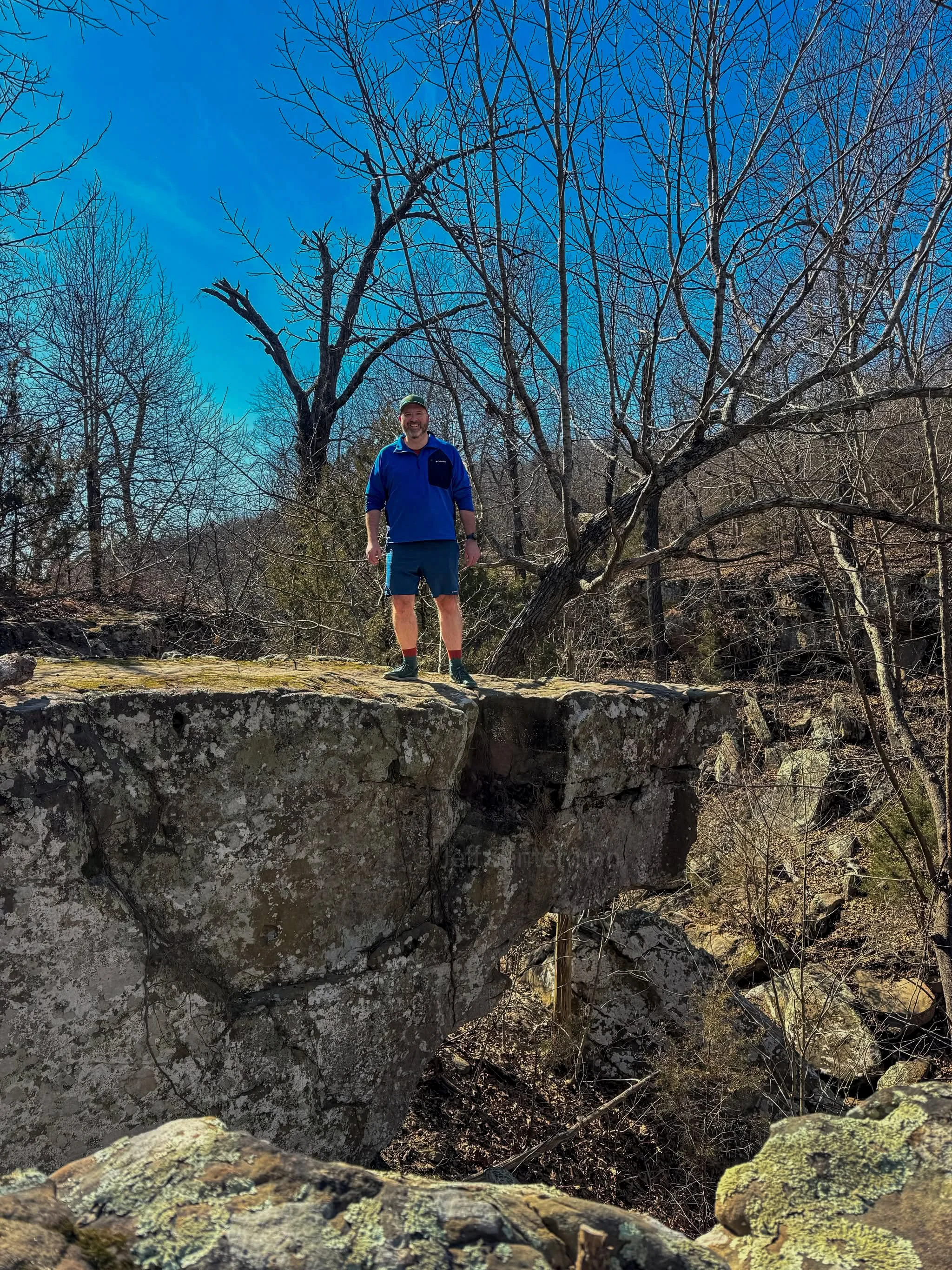
The trail changes character from a dirt road to a single track trail, however footing remains good as the trail descends steadily to the first creek crossing and intermittent waterfall. From the first waterfall, the Falls Trail crosses the creek, goes along the edge of the small creek’s canyon, and then climbs over a forested ridge. After reaching the height of land on the ridge, the trail begins to descend to the second waterfall and creek drainage. Once again the trail follows the edge of the creek’s small canyon after the waterfall, and then ascends through and alongside alongside massive rock walls - watch for some rock overhangs that can easily hit your head! After climbing steadily, at about 4 miles, the trail levels off and at 4.2 miles rejoins the Fire Access Road at the first trail junction you had walked past on the way in.
From this trail junction, you’ll walk the final 0.3 miles along the Fire Access Road Trail back to the trailhead and visitor center. The total distance for the Falls Trail Loop is 4.5 miles.
Why We Loved This Hike
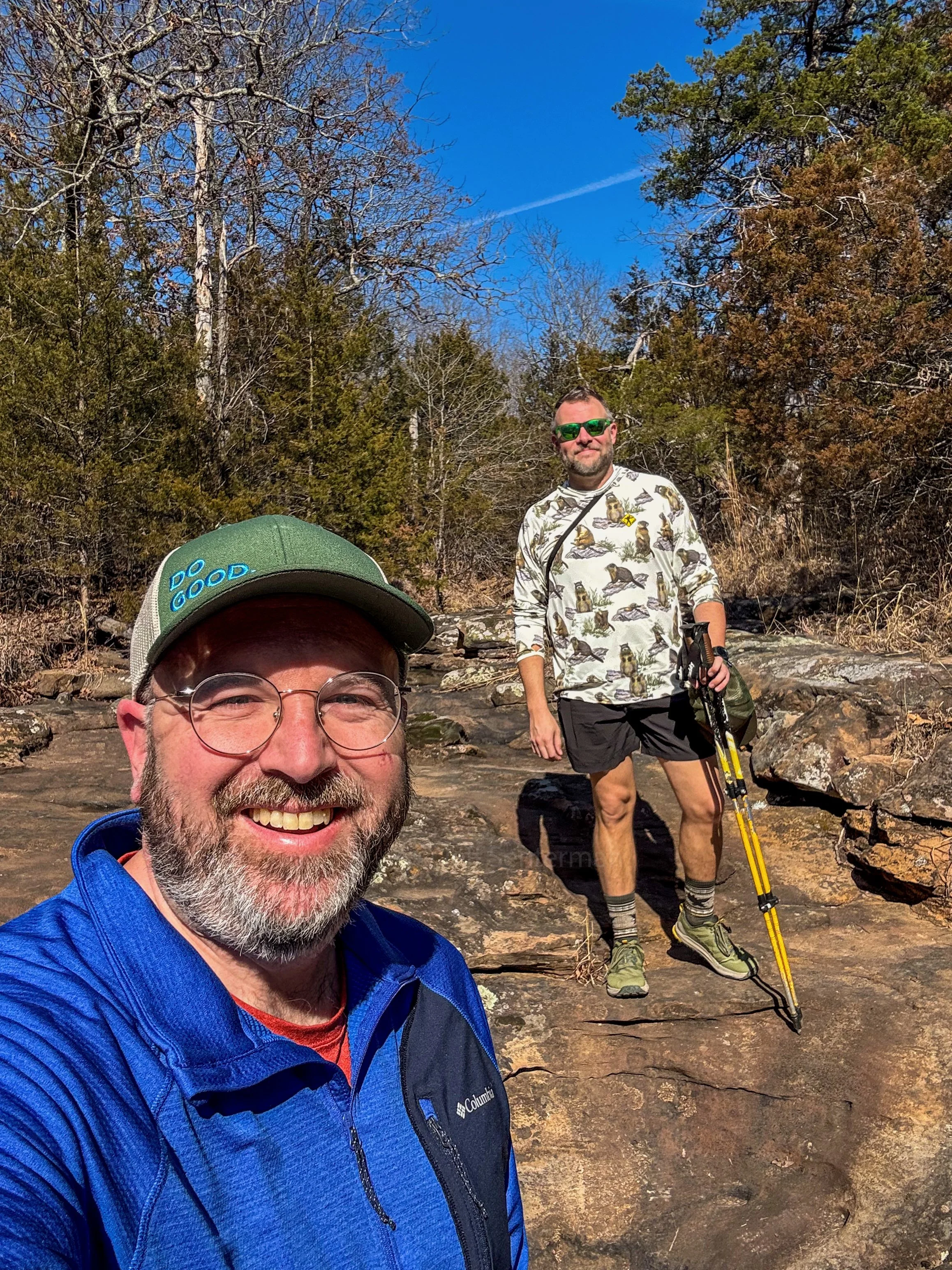
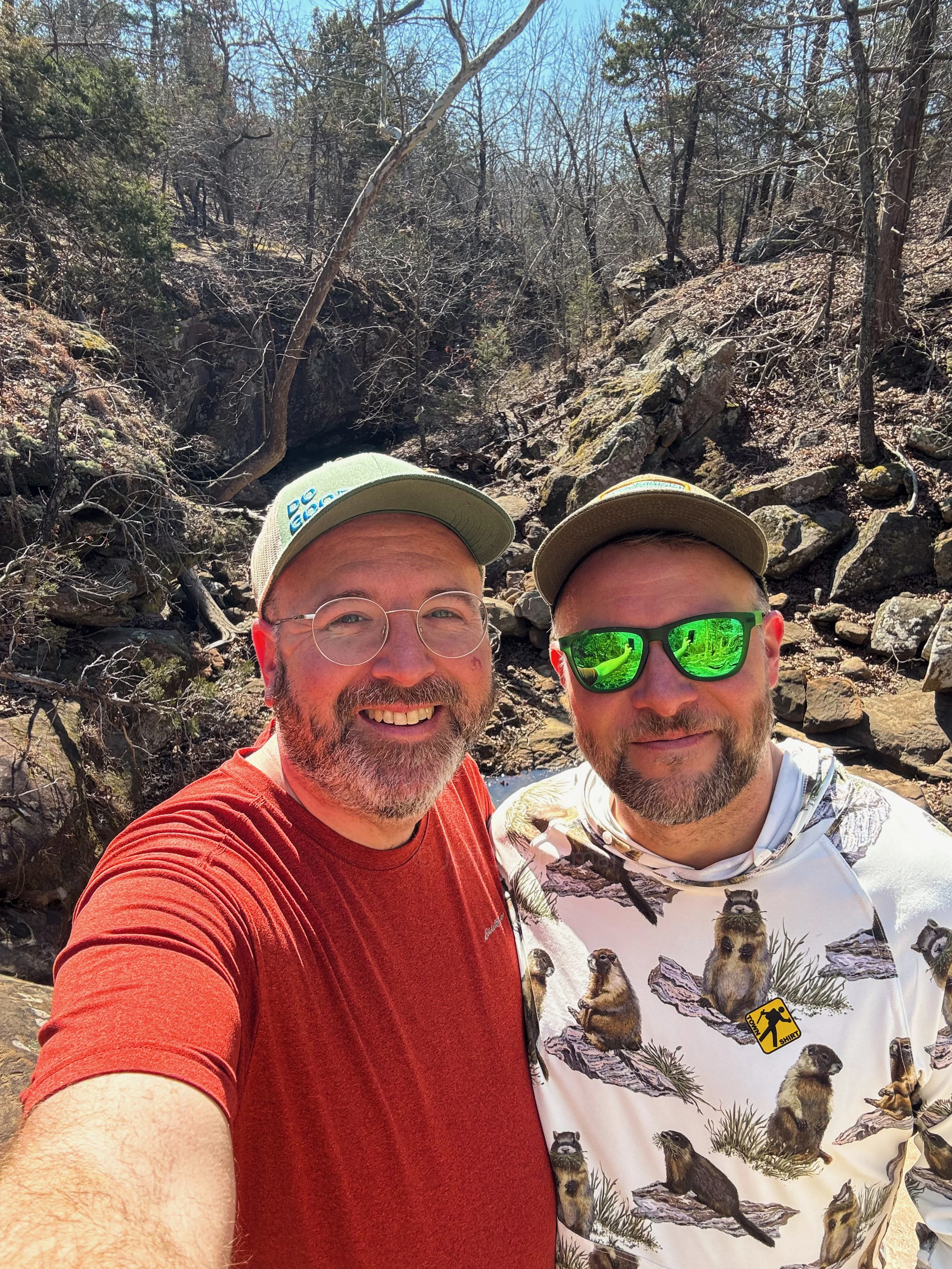
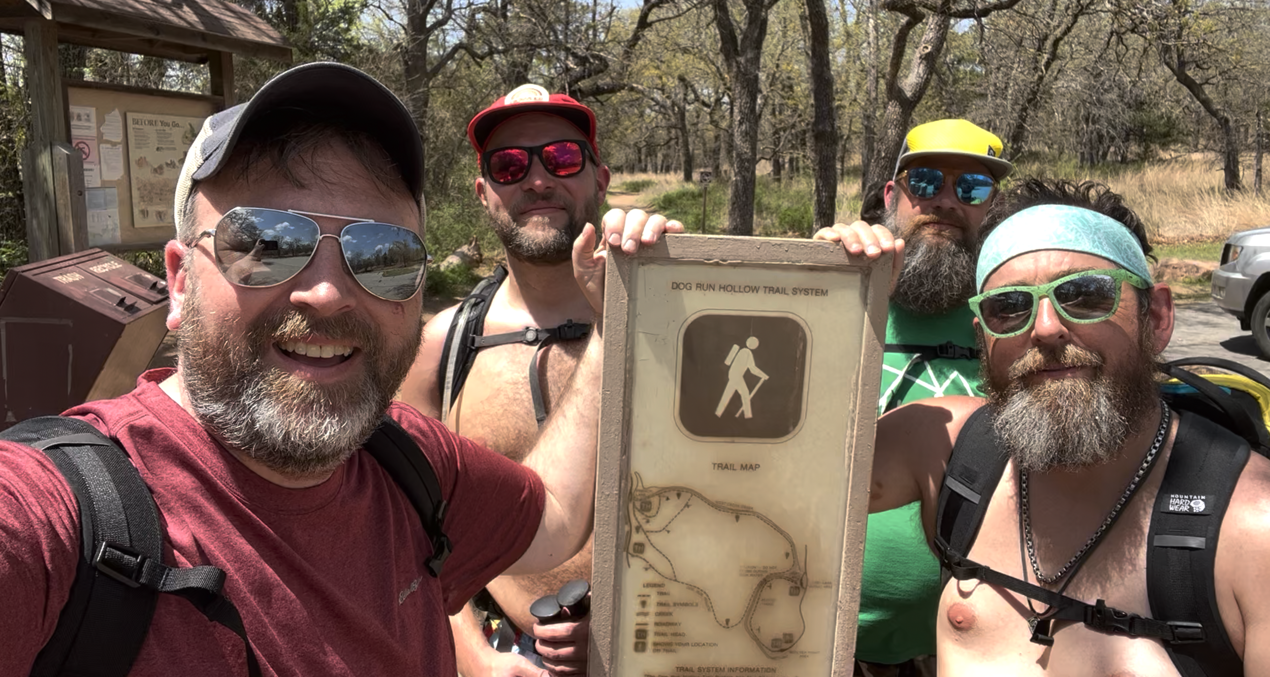
Many thanks to the Oklahomo Hiker for being an awesome tour guide as always on this hike! We loved this hike and based on our experiences hiking around Tulsa, Oklahoma, we’d say that this is the closest you can get to a backcountry hiking experience within a half an hour drive of Tulsa. Most other similar hiking experiences are at least a 2-3 hour drive from Tulsa in the Wichita and Ouachita Mountains.
Tips for the Falls Trail Loop
Best Time to Hike: Spring and fall for cooler weather and after a rainstorm to ensure the waterfalls are running
Creek Crossings: When the creeks are running, both crossings will be a ford and should expect to get your feet wet
Navigation: Trails are well-marked but bring a map because there are plenty of trail options at Keystone Ancient Forest.
For More Information on Hiking the Falls Trail Loop
You can find the Falls Trail Loop on:
More Oklahoma Hikes
More of our Oklahoma and Arkansas hikes on YouTube
Gear we used and/or carried on the Falls Trail Loop hike:
Some product links are affiliate links and we earn from qualifying purchases. Others are links through the Amazon Influencer program and as an Amazon Influencer, we earn from qualifying purchases. Still others, we just want you to know about some good gear we enjoy!
Falls Trail Loop FAQ
Where is the Falls Trail Loop?
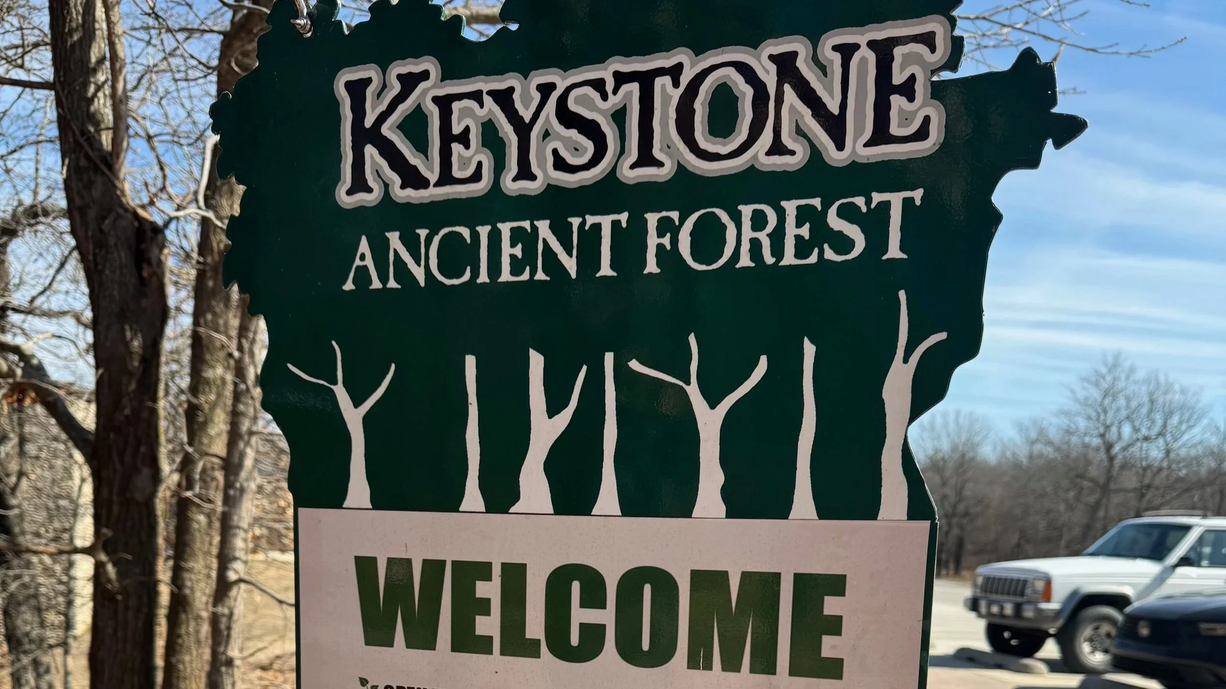
The Falls Trail Loop is located in Keystone Ancient Forest Preserve, Sand Springs, Oklahoma, managed by the City of Sand Springs and The Nature Conservancy.
How long is the Falls Trail Loop hike?
The loop measures 4.5 miles with 500 feet of elevation gain, typically taking 2.5 hours depending on pace and conditions.
Is the Falls Trail Loop difficult?
Rated moderate due to rocky descents, cliff edges, and stream crossings. Appropriate for hikers with experience on uneven terrain; not recommended for beginners or young children.
When do the waterfalls flow?
Intermittent falls are most impressive 1-2 days after significant rainfall. Visit in spring or fall for optimal flow and milder weather.
What are the park hours?
Thursday 7am-2pm; Friday-Sunday 7am-6pm. Gates lock at closing time. Free entry.
Our Hiking Advice and Hiking Gear Recommendations
Important Hiking Considerations:
Weather: Check the weather forecast before your hike and be prepared for changes in conditions.
Safety: Some sections of trail can be steep and rocky, others can be muddy, so use caution and always watch your footing.
Leave No Trace: As with any outdoor activity, remember to follow the principles of Leave No Trace. Pack out any trash, stay on the trail, and be respectful of the natural environment.