Hiking Slide Mountain via the Phoenicia East Branch Trail, Curtis-Ormsbee Trail, and Wittenberg-Cornell-Slide Trail from Route 42
Hiking Slide Mountain from the Slide Mountain Trailhead on Route 42
Slide Mountain is the highest peak in the Catskills and every time we head for this summit, it feels like we are going after one of the big, defining hikes in the Catskills, even if it’s not the most difficult hike in the Catskills. For this outing, we started from the Slide Mountain trailhead on Route 42 and made it a lollipop-style hike by using the Phoenicia East Branch Trail, the Curtis-Ormsbee Trail, and the Wittenberg-Cornell-Slide Trail to reach the summit and return.
The route gives you a little more shape than a simple out-and-back and makes the hike much more interesting overall. We think the best way to do the loop is the way that we did - following the Phoenicia East Branch Trail to the Curtis-Ormsbee Trail, then up the Curtis-Ormsbee Trail to the Wittenberg-Cornell-Slide Trail (WCS). You’ll follow the WCS Trail to the summit of Slide Mountain. From there you’ll go back the way that you came on the WCS, but instead of turning off on the Curtis-Ormsbee Trail, you’ll keep descending on the WCS Trail to its junction with the Phoenicia East Branch Trail and follow that out to the trailhead.
This hike is also moderate in difficulty making it in the realm of possibility for almost all hikers. While the tallest peak in the Catskills, Slide Mountain is definitely not the most difficult hike in the Catskills.
Slide Mountain Hiking Details
🧭 Trailhead: Slide Mountain Trailhead on Route 42 (Google Maps)
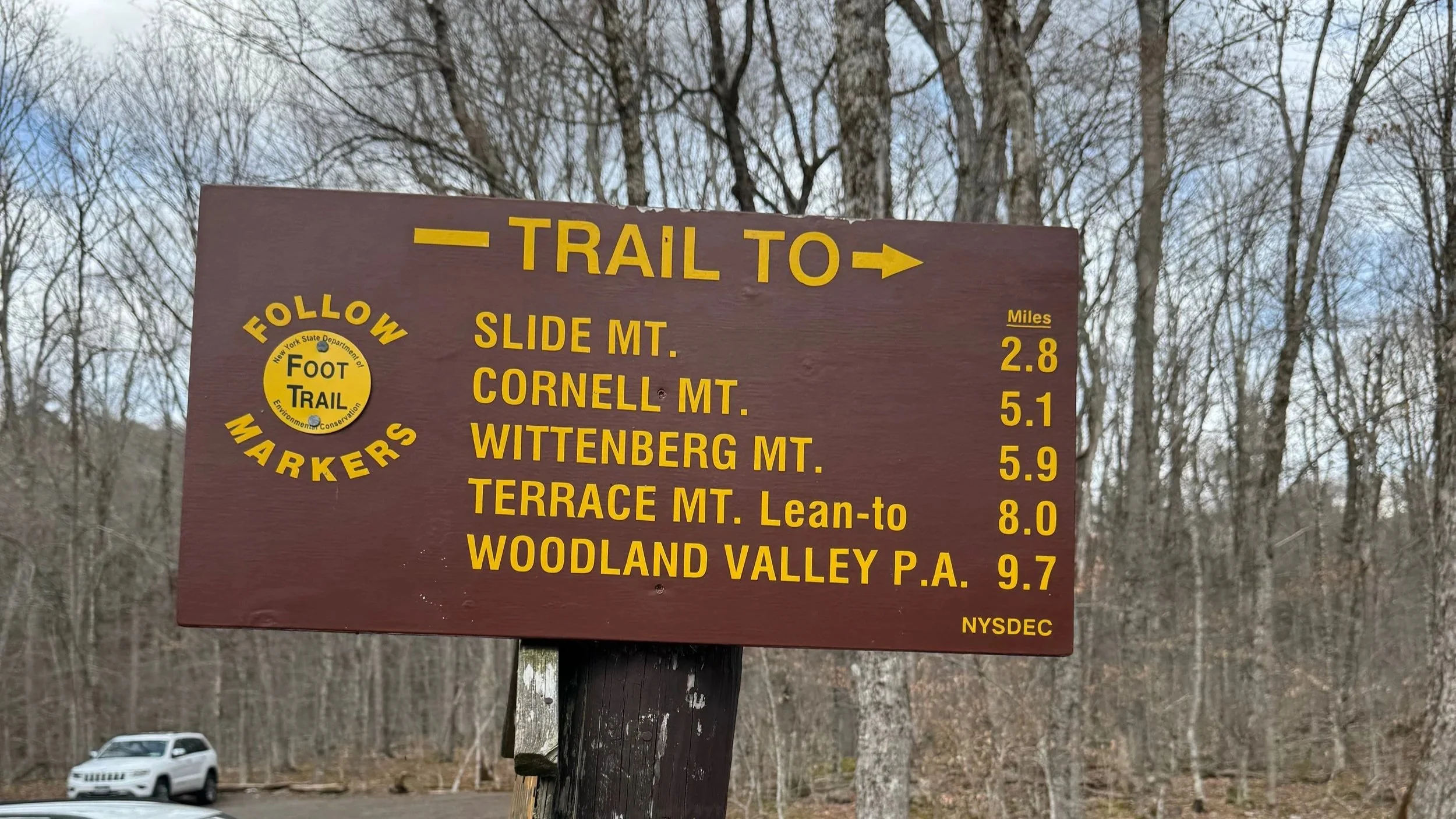
🗺️ Route: Phoenicia East Branch Trail to Curtis-Ormsbee Trail, then Wittenberg-Cornell-Slide Trail to the summit, and back on the Wittenberg-Cornell-Slide Trail to the Phoenicia East Branch Trail and the trailhead
🥾 Distance: Approximately 7 miles
📈 Elevation Gain: Approximately 1800 feet
⚠️ Difficulty: Moderate
📱AllTrails Information: Trail Route and Information in AllTrails
📸 Highlights: Slide Mountain, the highest peak in the Catskills at 4,180 feet
👉 Best for: Hikers who want a moderate Catskills mountain hike to the top of the region’s tallest peak
Hiking Slide Mountain
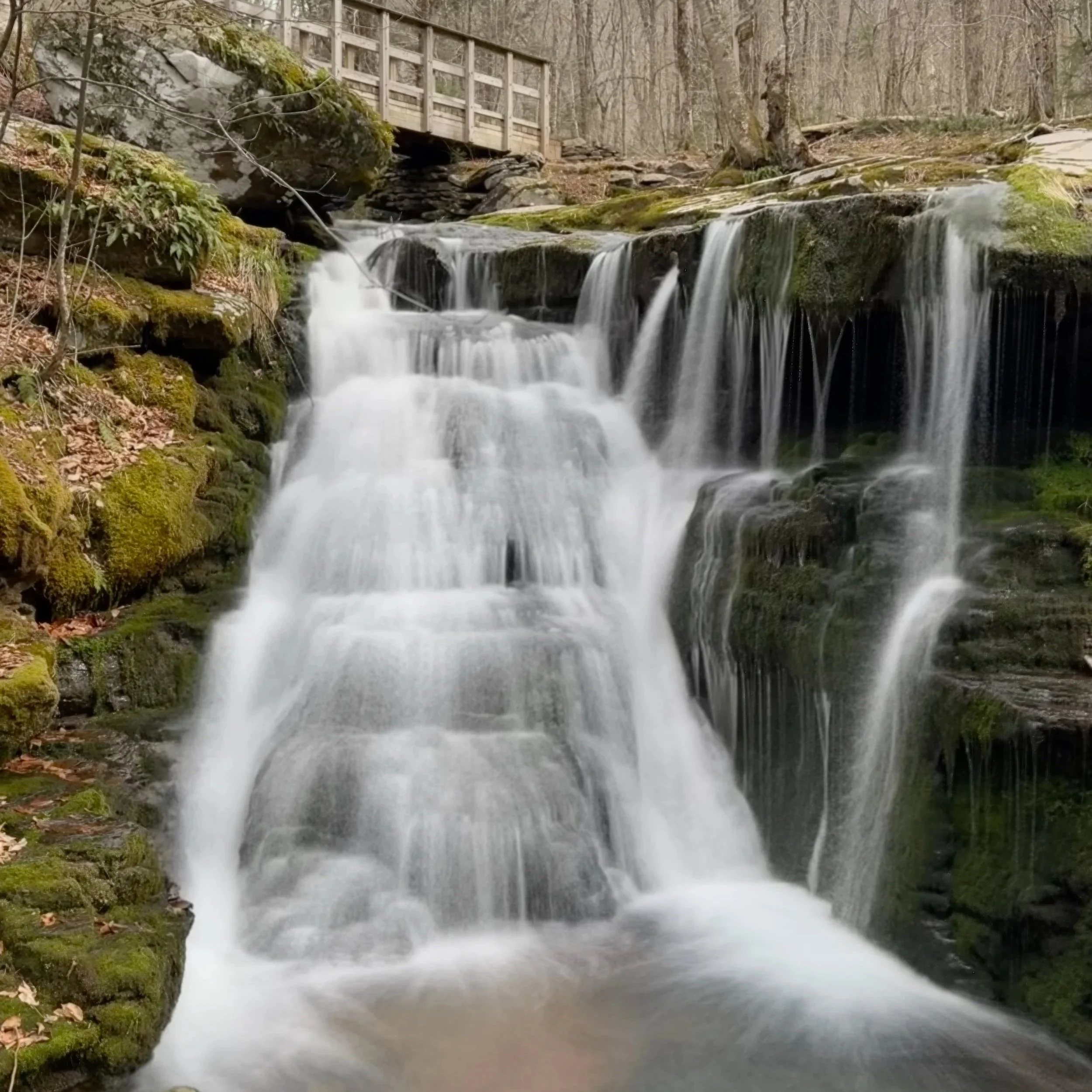
We began at the Route 42 trailhead and followed the Phoenicia East Branch Trail to the Curtis-Ormsbee Trail. The trail crosses the headwaters the Neversink River (be careful of flooding potential in wet weather) and then begins climbing steadily to an old road, which you turn right on. The old road provides a more gradual climb as you head towards your first trail junction with the Wittenberg-Cornell-Slide Trail. At that trail junction, 0.7 miles from the trailhead you’ll stay on the Phoenicia East Branch Trail going straight ahead for another 0.85 miles to the junction with the Curtis-Ormsbee Trail.
Once we reached the Curtis-Ormsbee Trail, we turned left off the Phoencia East Branch Trail and left it’s gentle climbing behind. The Curtis-Ormsbee Trail begins to climb Slide Mountain in earnest fairly quickly as it follows a ridge upward towards the trail junction with the Wittenberg-Cornell-Slide Trail after 1.65 miles of climbing.
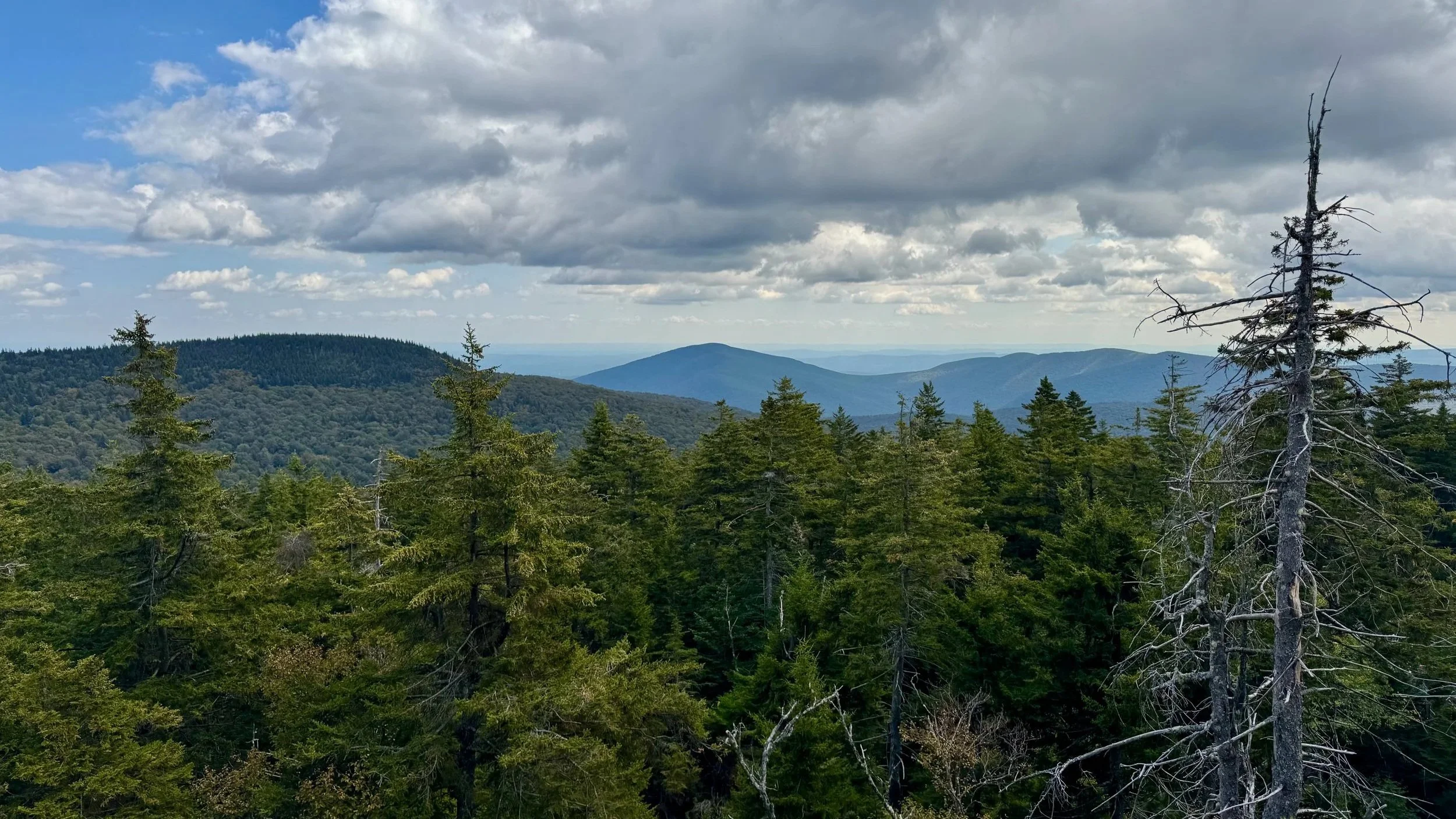
The climb moderates just before the trail junction with the Wittenberg-Cornell-Slide Trail and you find yourself on a high-altitude ridge, climbing more gently towards the summit. You’ll turn right on to the Wittenberg-Cornell-Slide Trail and hike 0.7 miles to the summit of Slide Mountain. Just before the summit you’ll pass the best view on this side of the mountain and it’s well worth taking the time to enjoy it. The summit is wooded but just below the summit are open rock ledges that offer limited views of the surrounding area including the Ashokan Reservoir and the Hudson Valley.
The Top of the Catskills
Slide Mountain is the highest peak in the Catskills at about 4,180 feet, and standing on its summit always feels like standing on top of the range itself. That is part of what makes this hike so enjoyable for us each time: we aren’t just climbing another Catskills peak, we are climbing the one that sits at the top of the entire mountainous region. The surrounding Slide Mountain Wilderness is also the largest wilderness area in the Catskill Forest Preserve, which adds to specialness of the mountain summit and of the entire region.
On the way down, we retraced our steps from the summit back back down the Wittenberg-Cornell-Slide Trail, but instead of turning off onto the Curtis-Ormsbee Trail again, we stayed on the Wittenberg-Cornell-Slide Trail until we reached the Phoenicia East Branch Trail and then followed that back to the trailhead. Here the trail follows the old jeep road that serviced the fire tower that used to sit on top of Slide Mountain. This makes the descent steady, but not overly steep or challenging.
Why We Like This Route
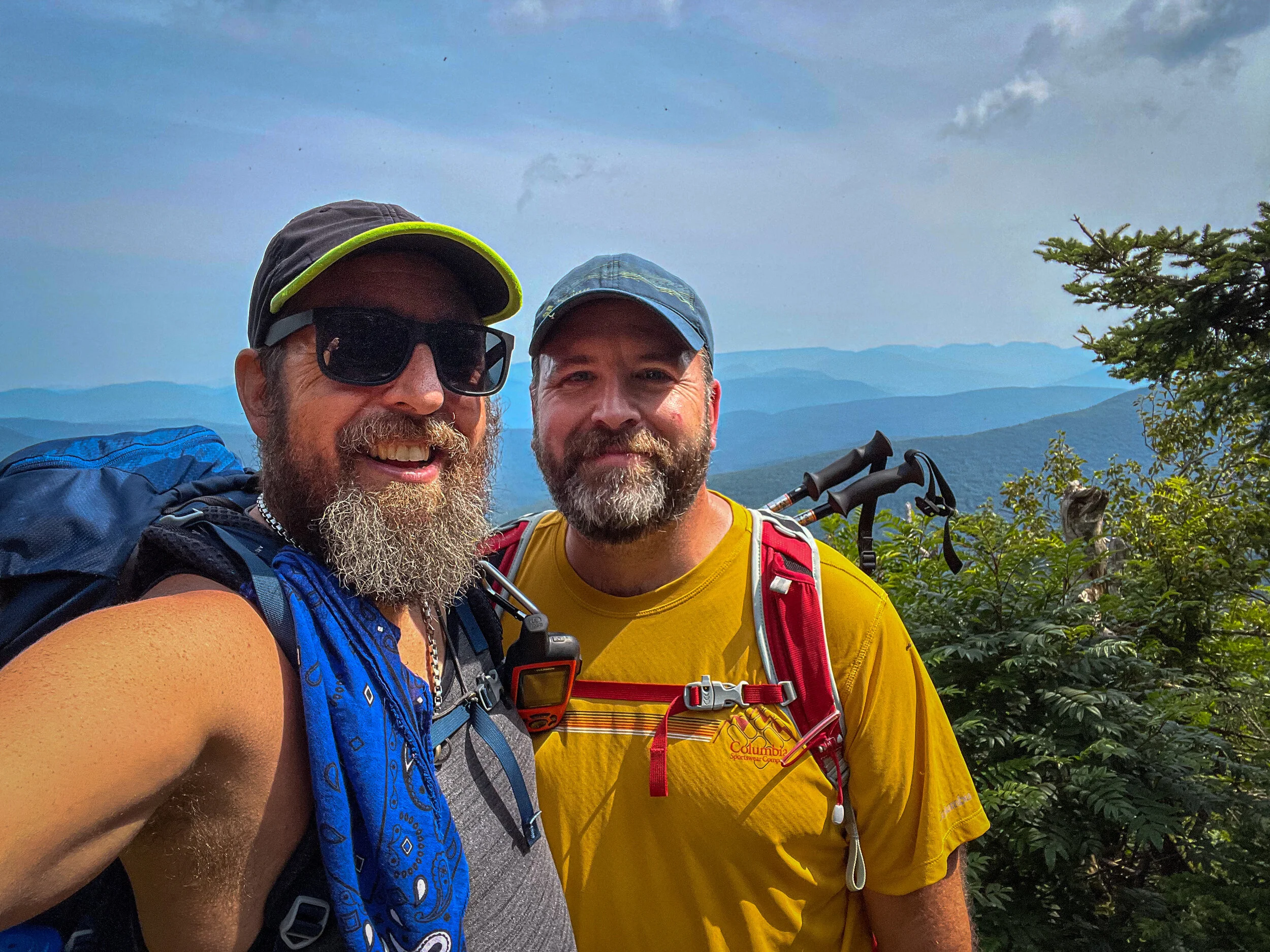
We like this way of hiking Slide because it gives you the full experience of the mountain without making the day feel repetitive by simply being an in and out hike. You get the satisfaction of standing on the highest peak in the Catskills, but you also get a route that feels layered and different along the way.
For More Information on Hiking Slide Mountain
Catskills Visitor Center
Additional Catskill Park information is available at the Catskills Visitor Center located at 5096 Route 28 in Mt. Tremper. Helpful staff can answer questions, free maps and guides are available, and the gift shop carries a large selection of local hiking maps and guidebooks.
Hire Hike On Guides for Slide Mountain Hike
Need help on a hike like this? Both Moe and Jeff are NYSDEC licensed hiking and backpacking guides. Hire us through our guiding company, Hike On Guides for customized trips in New York, New Hampshire, Vermont, and Massachusetts.
Hikes near Slide Mountain
More of our Catskills hikes on YouTube
Gear that we use on our hikes
Our go-to gear this trip included:
Important Hiking Considerations:
Weather: Check the weather forecast before your hike and be prepared for changes in conditions.
Safety: Some sections of trail can be steep and rocky, others can be muddy, so use caution and always watch your footing.
Leave No Trace: As with any outdoor activity, remember to follow the principles of Leave No Trace. Pack out any trash, stay on the trail, and be respectful of the natural environment.