Hunter Mountain and Southwest Hunter Loop from Spruceton Road - Catskills Hikes
Hunter Mountain and Southwest Hunter Loop: Catskill 3500 Peaks, Fire Tower, Lean-tos, and Diamond Notch Falls
Hunter Mountain is one of the most complete day hikes in the Catskills. This loop from Spruceton Road combines two Catskill 3500 peaks, the Hunter Mountain Fire Tower, a wooded herd-path summit on Southwest Hunter, a rugged stretch of the Devil’s Path, two lean-tos, and Diamond Notch Falls.
We hiked the loop clockwise, beginning at the Spruceton Trailhead and climbing to Hunter Mountain first. From there, we followed the Hunter Mountain Trail toward Devil’s Acre Lean-to, used the herd path to tag Southwest Hunter, then continued down the Devil’s Path to Diamond Notch Falls. We finished on the Diamond Notch Trail, walked a short distance along Spruceton Road, and returned to the Spruceton Trailhead.
This is a challenging, roughly 11-mile loop with about 2,300 feet of elevation gain. It is an excellent route for hikers working on the Catskill 3500 or anyone looking for a full day that brings together many of the best features of the Catskills.
Hike at a Glance
Trailhead: Spruceton Trailhead on Spruceton Road (Google Maps)
Route: Spruceton Trail → Hunter Mountain Trail → Devil’s Path → Southwest Hunter herd path → Devil’s Path → Diamond Notch Trail → Spruceton Road
Best Maps: Catskill Trails Map Set, Catskill Park Trails Illustrated, and AllTrails
Route type: Loop
Distance: About 11 miles
Elevation gain: About 2,300 feet
Difficulty: Challenging
Highlights: John Robb Lean-to, Hunter Mountain Fire Tower, Devil’s Acre Lean-to, Southwest Hunter herd path, Geiger Point, Diamond Notch Falls, and a short road walk to close the loop
Starting on Spruceton Trail
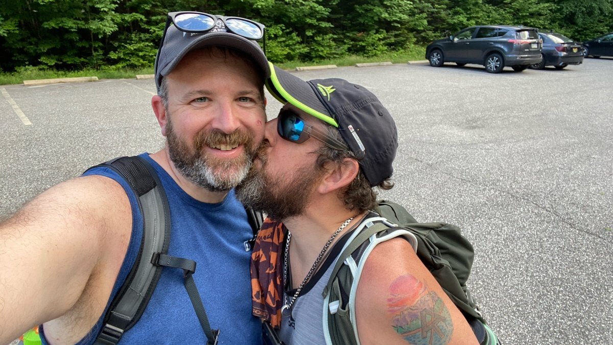
We began at the Spruceton Trailhead before the end of Spruceton Road on the left. The Spruceton Trail starts as a wide, gated jeep road and follows Hunter Brook through the woods toward the notch between Hunter Mountain and East Rusk.
The first section is a steady but manageable walk. The trail climbs gradually on old roadbed, which makes it a good place to settle into the day before the route begins gaining elevation more seriously.
At roughly 1.7 miles, the trail reaches the notch between East Rusk and Hunter Mountain. This is a good place to take a quick break before the more sustained climb to Hunter’s summit. From the notch, the route turns toward Hunter Mountain and begins gaining elevation more consistently (and quickly).
The Spruceton Trail is one of the more gradual ways to reach Hunter Mountain, but that does not mean it is flat or easy. The climb continues through forest on a well-established jeep road, passing a reliable spring shortly before the John Robb Lean-to at 2.4 miles.
John Robb Lean-to to the Hunter Summit
The John Robb Lean-to sits just off the Spruceton Trail and is worth a stop on the climb. It is a classic Catskills lean-to, tucked into the woods below the ridge, and it offers a convenient place to take a break. Be sure to go out to the view in front of the lean-to. You’ll look down the Spruceton Valley and can even catch a glimpse of the fire tower on the summit.
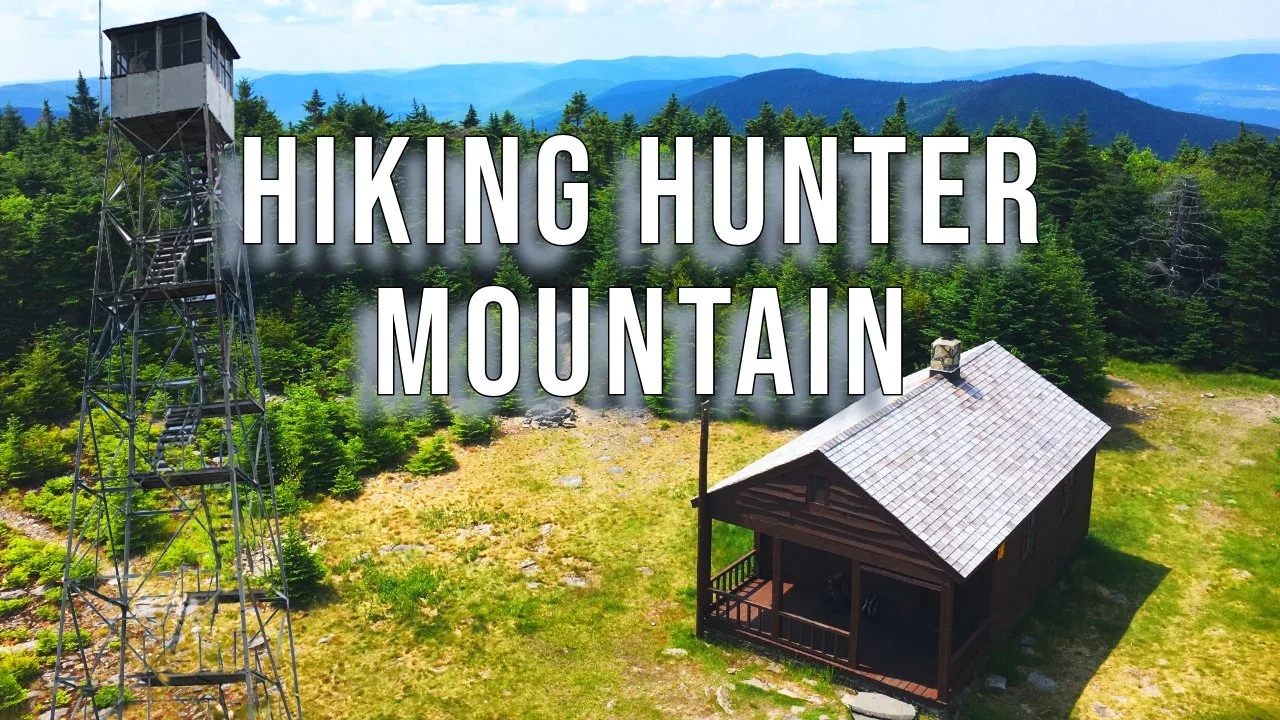
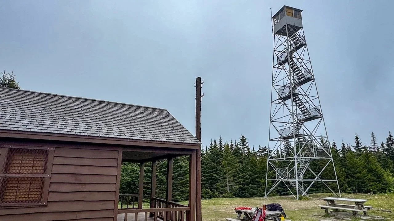
Past the lean-to, the final approach to Hunter Mountain continues through forest toward the summit. Hunter Mountain stands at 4,040 feet and is the second-highest peak in the Catskills. The true reward here is the historic Hunter Mountain Fire Tower, which rises high above the trees and provides some of the biggest views available anywhere in the Catskill Park.
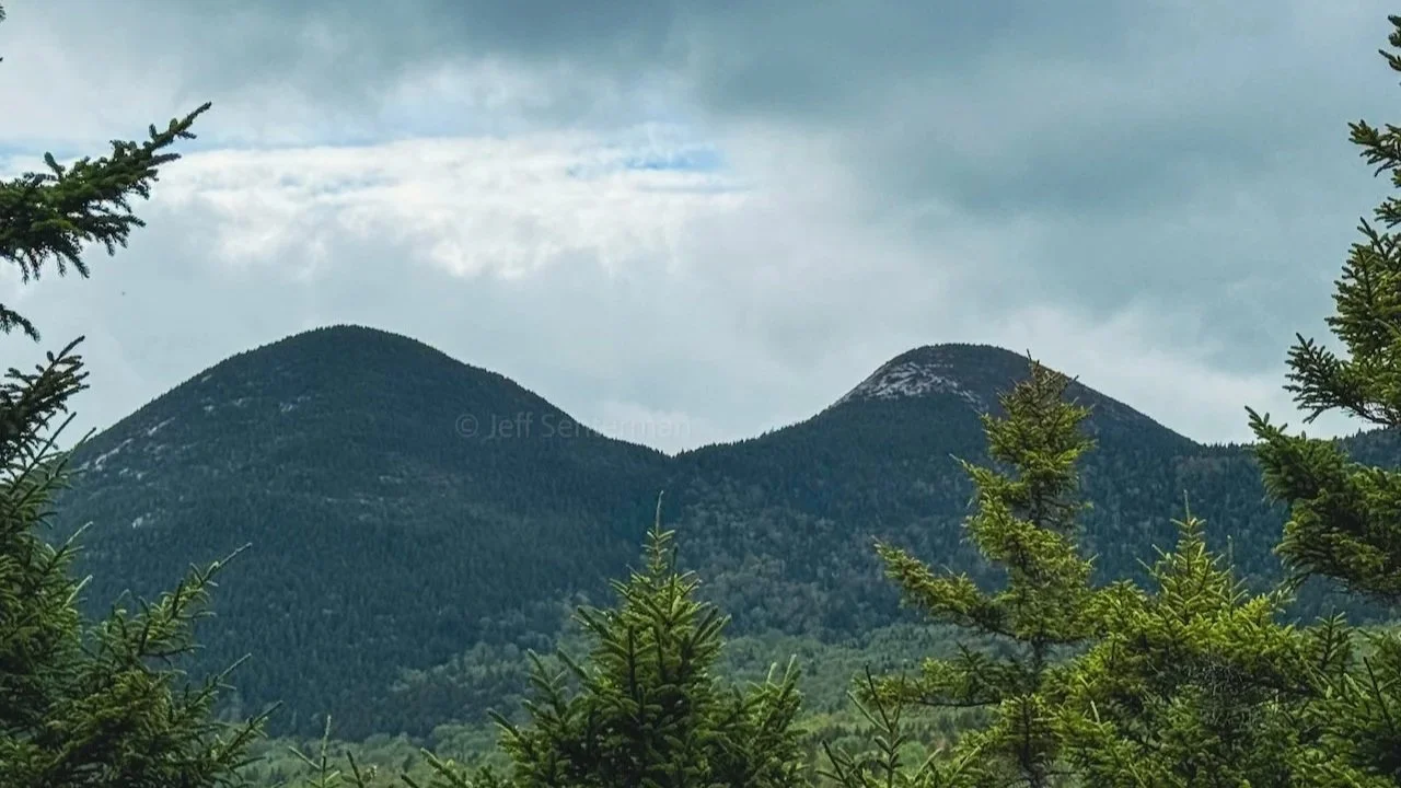
On a clear day, the fire tower offers a broad panorama across the Catskills, including views toward the Devil’s Path, the Blackhead Range, the Hudson Valley, and the rolling peaks of the central Catskills. Even when clouds, wind, or weather limit the view, the tower is a memorable place to stand. The structure itself has a presence, especially when the wind picks up and you can hear the tower begin to creak and hum above the treetops.
Hunter Mountain is part of both the Catskill 3500 and the Catskills Fire Tower Challenge, making this summit a rewarding checkpoint for hikers working on either list.
Hunter Mountain Trail to Devil’s Acre
From the fire tower, we followed the yellow-blazed Hunter Mountain Trail away from the summit. This section descends through the forest toward the junction with the Devil’s Path and Devil’s Acre Lean-to.
There are several important trail junctions around Hunter Mountain, including the one with the Becker Hollow Trail, which descends steeply toward Stony Clove Notch. This is one of the reasons we recommend carrying a current Catskills trail map or using an offline navigation app. Hunter has multiple approaches, and descending the wrong side of the mountain can create a major logistical problem when you are miles from where you started on the wrong side of the mountain!
The Hunter Mountain Trail reaches the Devil’s Path junction shortly before Devil’s Acre Lean-to. Continue a short distance beyond the junction to visit the lean-to, which sits in an area with a deep logging history. The surrounding ground includes traces of the former Fenwick lumber camp, and in places you may notice dark, coal-like material underfoot from the area’s industrial past.
Southwest Hunter Herd Path
From Devil’s Acre, continue on the Devil’s Path west toward the herd path for Southwest Hunter. Southwest Hunter, also known as Leavitt Peak, is one of the Catskill 3500 peaks but does not have a marked trail to its summit.
The herd path begins off the Devil’s Path and is generally easy to follow, but it remains an unmarked route. It initially follows the grade of an old logging railroad through the woods before turning uphill for the final climb to the summit canister.
Southwest Hunter’s summit is wooded and does not offer a view. The goal here is the summit canister and the satisfaction of reaching one of the Catskills peaks. Sign in, take a moment to appreciate the quieter character of this part of the mountain, and then retrace the herd path back to the Devil’s Path.
Devil’s Path and Geiger Point
Back on the Devil’s Path, head west towards Diamond Notch Falls and begin the long descent. This section of the route includes uneven footing, rocky trail, rooty stretches, and enough downhill to make almost any knees tired.
Before the trail drops fully into Diamond Notch, it passes Geiger Point. This viewpoint is growing in, but still worth a stop, especially if the weather is clear. It gives you a look across the surrounding peaks and helps break up the long descent with one last open moment before the trail returns to the notch.
The Devil’s Path continues downward toward its junction with the Diamond Notch Trail. This is the steepest and most demanding descent of the loop, so take your time. Wet roots, loose rocks, leaves, and mud can make the footing more difficult, particularly after rain or during shoulder-season conditions.
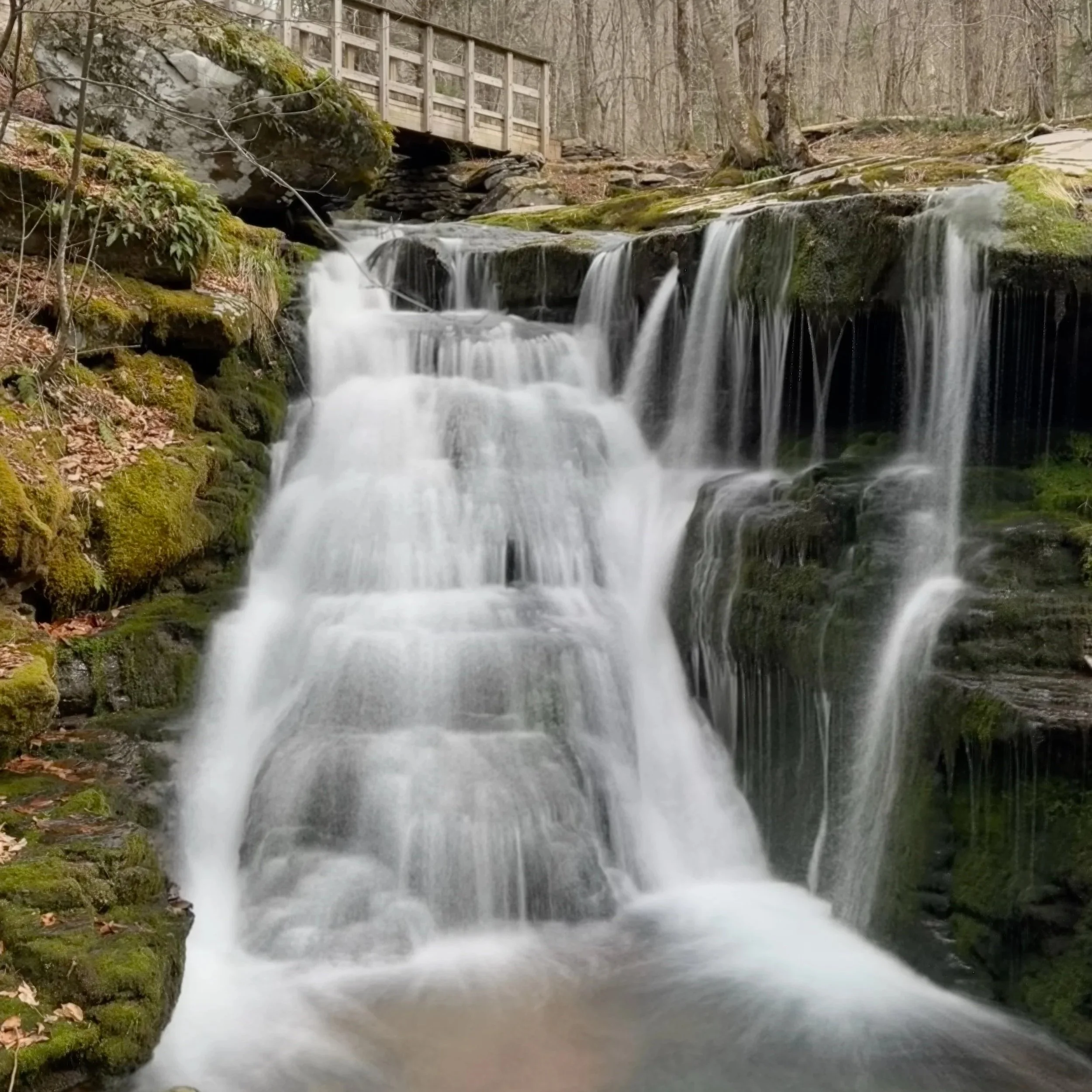
Diamond Notch Falls
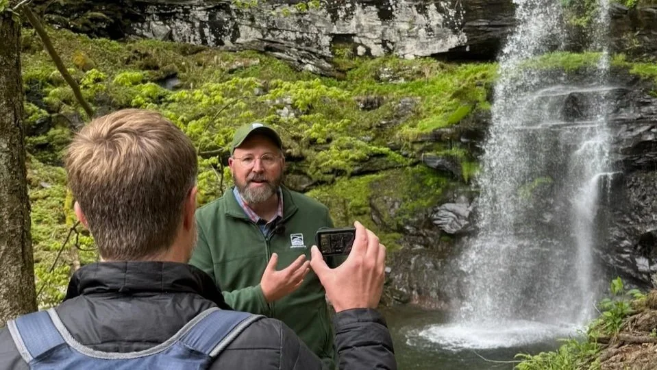
At the junction with the Diamond Notch Trail, take time to visit Diamond Notch Falls. The falls are one of the best finishes to a Catskills loop hike.
Diamond Notch Falls is a popular short hike on its own, but after spending the day climbing Hunter Mountain, visiting Southwest Hunter, and descending the Devil’s Path, it feels especially rewarding.
From the falls, turn north on the blue-blazed Diamond Notch Trail towards Spruceton Road. The trail follows the West Kill on a more gradual grade than the descent you just completed. This is a welcome change after the rugged Devil’s Path section, though the distance can still feel long at the end of an 11-mile day.
Finishing the Loop
The Diamond Notch Trail eventually reaches Spruceton Road. From there, continue straight ahead and walk along the road back toward the Spruceton Trailhead. The road walk is relatively short.
You will pass the Diamond Notch Trailhead and continue to the Spruceton Trail Trailhead where the loop began. It is not the most dramatic finish, but it is a practical and satisfying way to close out a route that delivers a lot of Catskills hiking in one day.
Planning Notes
This is a great loop for experienced hikers who want a full Catskills day with multiple objectives. It includes a long but manageable ascent, two Catskill 3500 peaks, an unmarked herd path, a rugged Devil’s Path descent, and enough trail junctions that navigation should be taken seriously.
Bring a current map: Hunter Mountain has several trail options, including Spruceton, Becker Hollow, Hunter Mountain Trail, Devil’s Path, Diamond Notch Trail, and the Southwest Hunter herd path. It’s very easy to get turned around.
Filter water: The spring near John Robb Lean-to can be useful, but all natural water sources should be filtered or treated.
Use care on Southwest Hunter: The herd path is unmarked. While it is well used, it is still important to stay on the established tread and avoid widening the route.
Save energy for the descent: The Devil’s Path section down toward Diamond Notch Falls is rocky and steep enough to be challenging late in the day.
Start early: Eleven miles with two summits, a fire tower, a herd path, and a rugged descent is a full day, especially if you want time to enjoy the overlooks and falls.
Final Thoughts
The Hunter Mountain and Southwest Hunter loop is one of our favorite Catskills hikes because it brings together so much of what makes this region special. You get a gradual climb through the Spruceton Valley, a beautiful view at the John Robb Lean-to, a historic fire tower on one of the Catskills’ highest peaks, a quiet herd path to a second 3500 summit, rugged Devil’s Path terrain, old logging history at Devil’s Acre, and a waterfall finish at Diamond Notch Falls.
If you want one hike that captures the range of experiences the Catskills can offer, this loop is hard to beat. It is challenging without being impossible, varied without feeling scattered, and full of reasons to slow down and appreciate the trail along the way.
For More Information on the Hunter Mountain & Southwest Hunter Loop
Catskills Visitor Center
Additional Catskill Park information is available at the Catskills Visitor Center located at 5096 Route 28 in Mt. Tremper. Helpful staff can answer questions, free maps and guides are available, and the gift shop carries a large selection of local hiking maps and guidebooks.
Hire Hike On Guides for the Hunter Mountain Loop
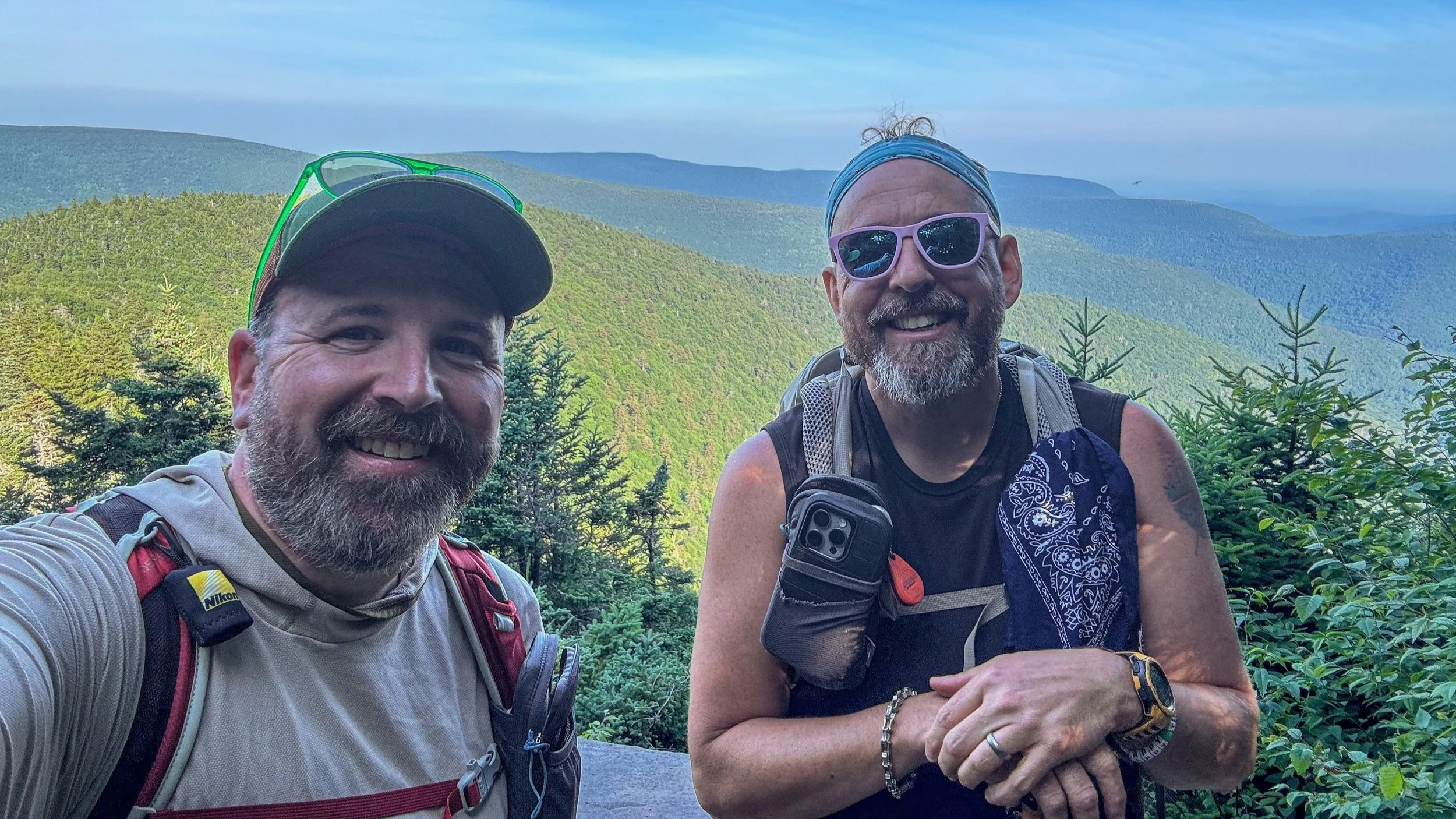
Need help on a hike like this? Both Moe and Jeff are NYSDEC licensed hiking and backpacking guides. Hire us through our guiding company, Hike On Guides for customized trips in New York, New Hampshire, Vermont, and Massachusetts.
Hikes near Hunter Mountain
More of our Catskills hikes on YouTube
Gear that we use on our hikes
Our go-to gear this trip included:
Important Hiking Considerations:
Weather: Check the weather forecast before your hike and be prepared for changes in conditions.
Safety: Some sections of trail can be steep and rocky, others can be muddy, so use caution and always watch your footing.
Leave No Trace: As with any outdoor activity, remember to follow the principles of Leave No Trace. Pack out any trash, stay on the trail, and be respectful of the natural environment.