The East’s Most Difficult Trail - Hiking the Devils Path in a day thru wind, rain, and fog
Hiking the Devil’s Path in a Day: Conquering the Hardest Trail in the Catskills
The Devil's Path in the Catskill Mountains has been called the eastern United State's most difficult hiking trail. 6 mountains, 9,000 feet of elevation gain, over 24 1/2 miles. It is a challenging and rugged hiking trail renowned for its difficulty, steep ascents and descents, rocky terrain, and panoramic views.
The Devil's Path traverses six major peaks in the Catskills: Indian Head, Twin, Sugarloaf, Plateau, Westkill, and Hunter. Hikers often face steep climbs and descents, rocky scrambles, and varying weather conditions. The trail is known for its strenuous nature, testing the endurance and skill of even experienced hikers.
The name "Devil's Path" is likely derived from the challenging nature of the trail, with some sections resembling a difficult journey. Despite its difficulty, the Devil's Path attracts avid hikers and outdoor enthusiasts seeking a challenging adventure and the opportunity to experience the beauty of the Catskill Mountains. Hiking the Devil's Path requires proper preparation, physical fitness, and an awareness of the trail's demanding features.
Mountains of the Devil’s Path include
Twin Mountain
Westkill Mountain
The weather was bad enough that we had trouble capturing the hike for a full video, so we put it in a YouTube short. This way you can get a feel for this trail on a tough day in just a minute.
This hike was organized by Moe through our hiking and backpacking guide company, Hike On Guides. Jeff tagged along for the adventure and to end up being the shuttle driver for those who bailed at the 13 mile mark.
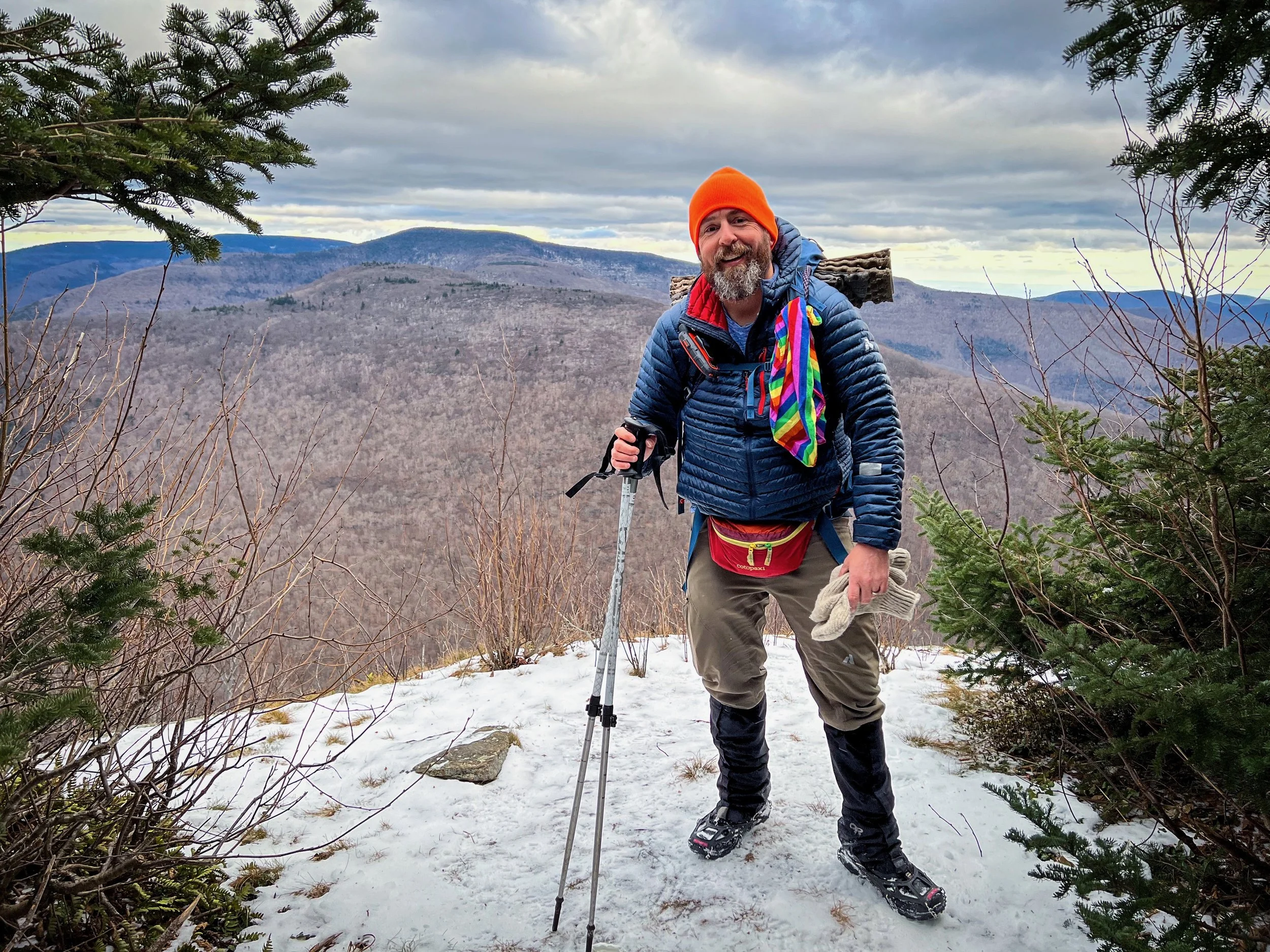
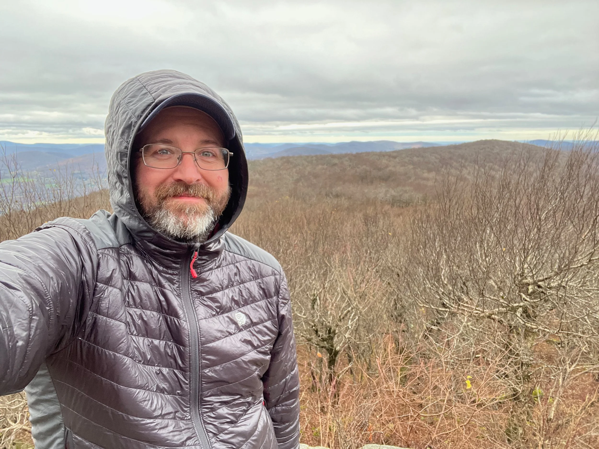
9 of us started at the Prediger Road Trailhead at just before 6am in the dark. Sunlight started to break as we were coming up on the summit of Indian Head Mountain. Winds were also picking up and the mountain itself was in the fog as climbed. Coming down into Jimmy Dolan Notch and then over Twin Mountain to Pecoy Notch, the strong winds continued, along with fog and occasional drizzle. Same with Sugarloaf Mountain. As we reached Mink Hollow and began the ascent up Plateau, the rain really moved in. It was pouring at times, with strong winds and temps only in the 40s. By the time we all got down to the trailhead on Route 214 in Stony Clove Notch, 3 of the folks on the hike decided to call it a day. Jeff shuttled them back to the trailhead, while Moe continued on with the rest of the group. The rains moderated, but it was still a cold, windy, foggy, and drizzly hike as they went over the shoulder of Hunter Mountain, then down to Diamond Notch, and then over Westkill Mountain before reaching the end of the trail on the Devil’s Path Trailhead on Spruceton Road.
Trail Summary: Hiking the Devil’s Path in a Day
Location: Catskill Mountains, New York
Route: Eastern terminus (Prediger Rd) to western terminus (Spruceton Rd)
Distance: ~24 miles point-to-point
Elevation Gain: ~9,000 feet
Trail Type: Point-to-point (requires car shuttle)
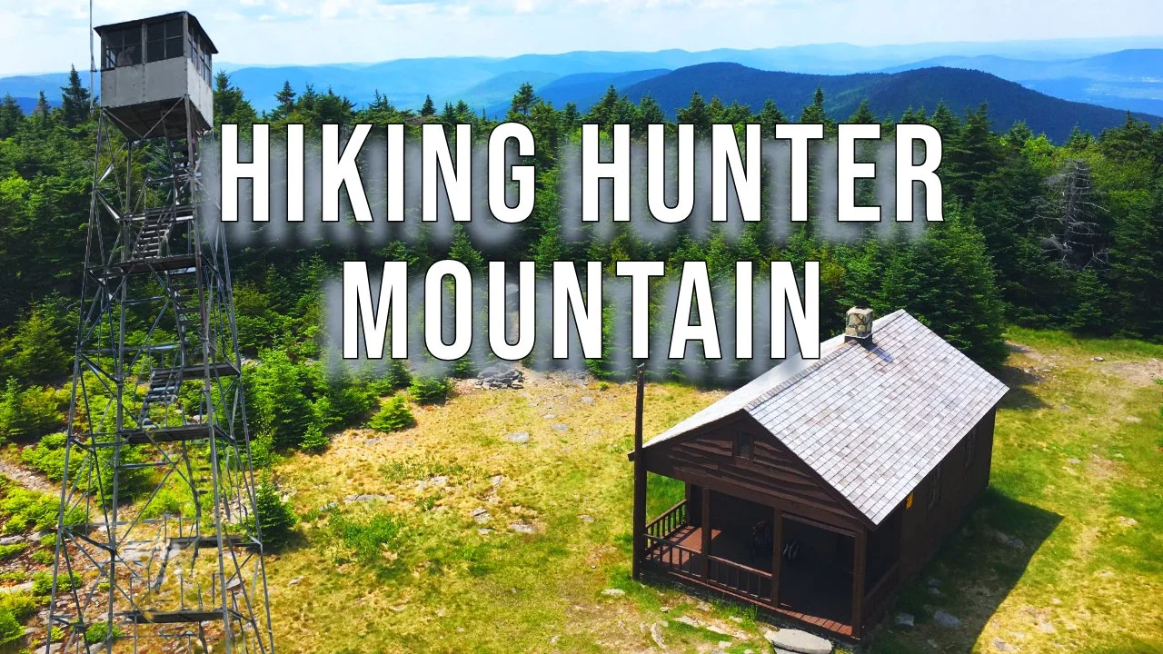
Peaks Summited: Indian Head, Twin, Sugarloaf, Plateau, Shoulder of Hunter, West Kill
Difficulty: Extremely strenuous
Highlights: Steep scrambles, remote forests, Catskills fire towers, panoramic summit views
Recommended Gear: Ample water, layers, headlamp, GPS or offline maps
Pro Tip: Start before dawn and be prepared for rapidly changing weather—this is not a trail to underestimate.
Explore all Catskill Park trails and get expert planning advice in our Catskills Hiking Guide.
For more information on the Devil’s Path
You can find this hike on:
Additional Catskill Park information available at the Catskills Visitor Center (5096 Route 28 in Mt. Tremper)
Hike On Guides: Need help on a hike like this? Moe is a NYS licensed hiking and backpacking guide. You can hire him for Hiking, Backpacking and Camping Guide Services at Hike On Guides for hikes in New York, New Hampshire, Vermont, and Massachusetts.
Our Hiking Advice and Hiking Gear Recommendations
Gear we used and/or carried on this hike:
Hydration and nutrition for this hike:
Some product links are affiliate links and we earn from qualifying purchases. Others are links through the Amazon Influencer program and as an Amazon Influencer, we earn from qualifying purchases. Still others, we just want you to know about some good gear we enjoy!
Important Hiking Considerations:
Weather: Check the weather forecast before your hike and be prepared for changes in conditions.
Safety: Some sections of the trail can be steep and rocky, so use caution and watch your footing.
Leave No Trace: As with any outdoor activity, remember to follow the principles of Leave No Trace. Pack out any trash, stay on the trail, and be respectful of the natural environment.