Alander and Brace Mountains Loop: 13-Mile Southern Berkshires Hike to the Tri-State Monument
Alander and Brace Mountains Loop: A 13-Mile Southern Berkshires Hike to the Tri-State Monument
The Alander and Brace Mountains Loop is a big, rewarding hike in the southern Berkshires that links two open summits, the New York–Massachusetts–Connecticut Tri-State Monument, long ridge walks, and a quieter corner of the Taconic Range. Starting from the Alander Brook Trailhead on Under Mountain Road near Millerton, New York, we hiked a roughly 13-mile counterclockwise loop over Brace Mountain and Alander Mountain.
This is a strenuous hike with approximately 2,600 feet of elevation gain, but the effort is spread across a full day of varied terrain rather than one single climb. Expect a steep opening ascent, rolling ridgeline trail, old woods roads, exposed summit terrain, a long middle section through the Massachusetts portion of the route, and a steep descent back through the Alander Brook ravine.
Alander Mountain and Brace Mountain Hike Overview
Location: Southern Berkshires / Taconic Range, near Millerton, New York
Trailhead: Alander Brook Trailhead on Under Mountain Road (google maps)
Route type: Loop
Distance: About 13 miles
Elevation gain: About 2,600 feet
Difficulty: Strenuous
Highlights: Brace Mountain, Alander Mountain, Tri-State Monument, ridge views, historic fire observer cabin, and views toward the Hudson Valley and Catskills.
This route travels through a mix of trail systems in New York and Massachusetts, with a short visit to the Connecticut border at the Tri-State Monument. It is a hike where having a detailed trail map or reliable GPS navigation is important: several junctions are easy to miss, especially around the Brace Mountain approach and on the return toward Alander Mountain.
Robert Brook Trail to Brace
From the Alander Mountain Trailhead, we started on the Alander Mountain Trail and reached the junction with the Robert Brook Trail almost immediately. We turned right onto Robert Brook to begin the loop counterclockwise, saving Alander Mountain and its broad summit views for later in the day.
The Robert Brook Trail climbs steadily through the ravine toward the South Taconic Trail. This is one of the more sustained ascents of the hike: the grade varies, but it remains consistently uphill until the ridge. The route passes a New York–Massachusetts boundary marker before reaching the South Taconic Trail, where the character of the hike changes from steep forest climbing to more gradual ridge travel.
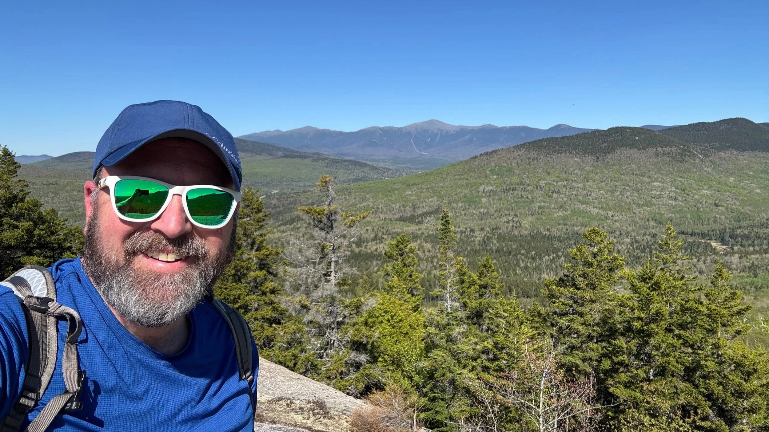
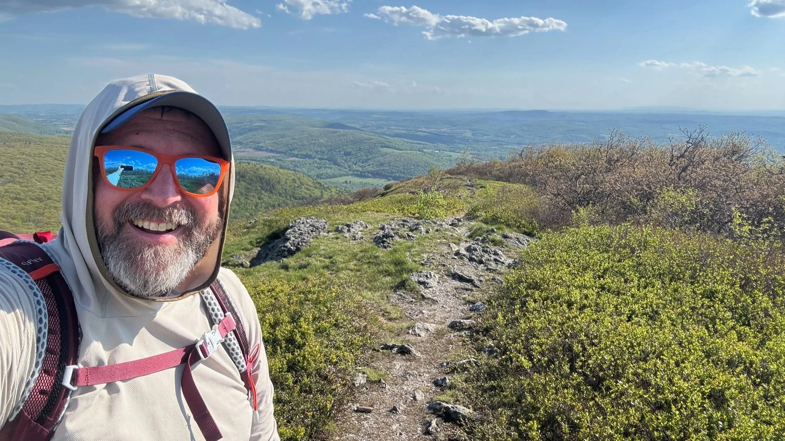
Turn right on the South Taconic Trail toward Brace Mountain. The next section is mostly rolling, with gentle ups and downs and several places where the forest becomes more open. As you approach Brace, the trail moves through stunted trees and increasingly open terrain, with expansive views west toward the Hudson Valley and the Catskills.
At an unsigned junction near the final approach to Brace Mountain, turn right rather than continuing straight. The summit of Brace Mountain is a worthwhile stop, with open views and a clear sense of the surrounding Taconic ridgeline. Brace Mountain is the high point of Dutchess County, New York.
Tri-State Monument and Return
From Brace Mountain, backtrack on the South Taconic Trail to the junction for the Mount Frissell Trail. Follow it south toward the Tri-State Monument, which marks the meeting point of New York, Massachusetts, and Connecticut. It is a short but worthwhile side trip and gives this loop one of its most distinctive features.
Return from the monument to the junction with the Ashley Hill Trail and turn right to begin heading north toward Alander Mountain. This middle section of the hike is less exposed and generally easier underfoot, following a mix of forest trail and old roadbed. The Ashley Hill Trail eventually reaches the Campground Trail; stay on the intended route toward the Alander Mountain Trail rather than taking the Laurel or Charcoal Pit trails at their junctions. At the intersection with the Campground Trail, follow the Campground Trail to the Alander Mountain Trail.
There are several stream crossings or reliable seasonal water sources along the broader route, but water availability can vary. We filtered water during the hike, and on a warm or sunny day, carrying sufficient water capacity and a filter makes a lot of sense for this 13-mile outing.
Alander Mountain Finish
After following the Campground Trail, the route connects with the Alander Mountain Trail for the final climb. The approach becomes steeper as it heads up toward the summit area, first passing the historic fire observer cabin just below the top. The cabin is a notable landmark, but the real highlight is the open summit of Alander Mountain.
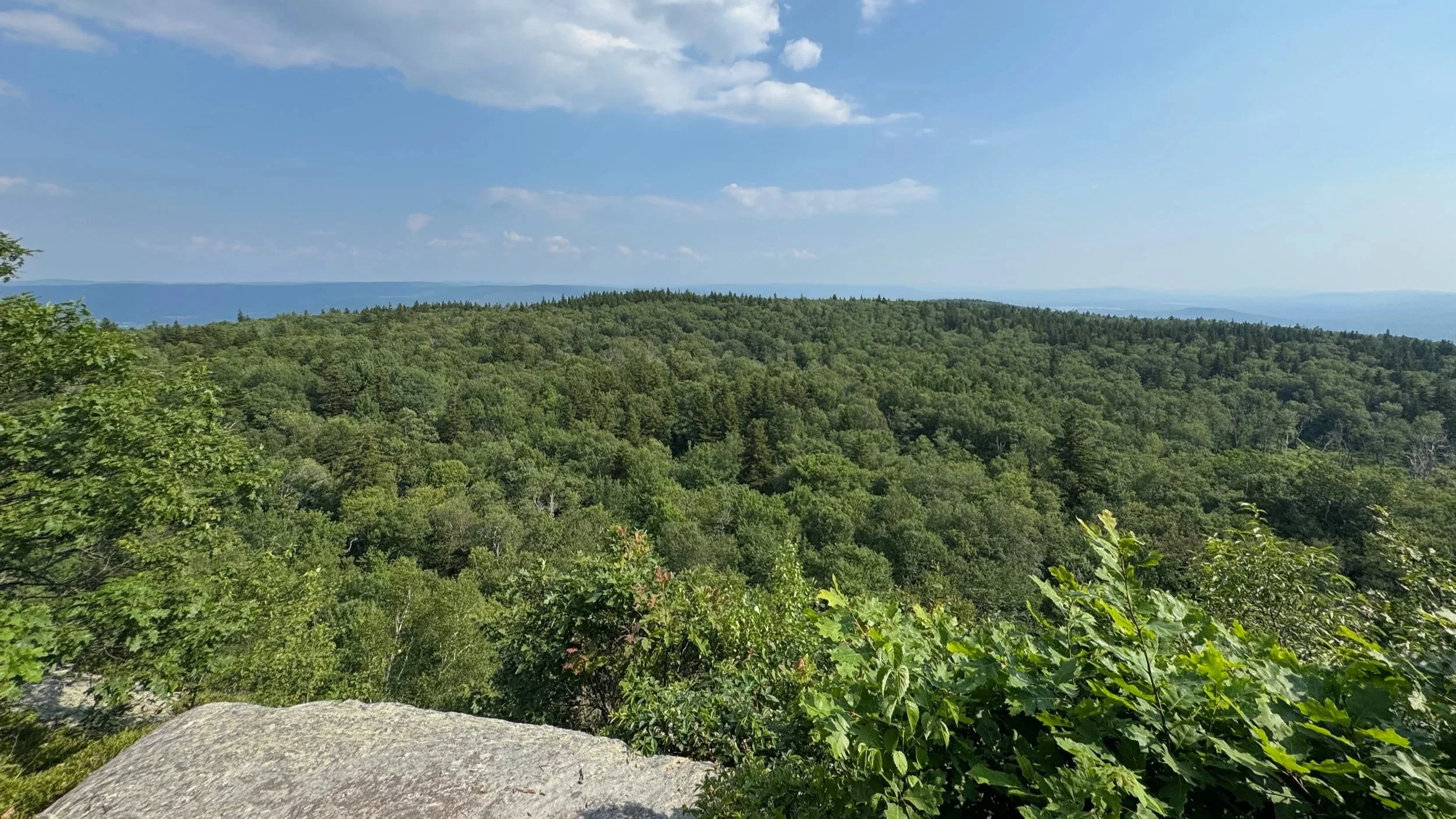
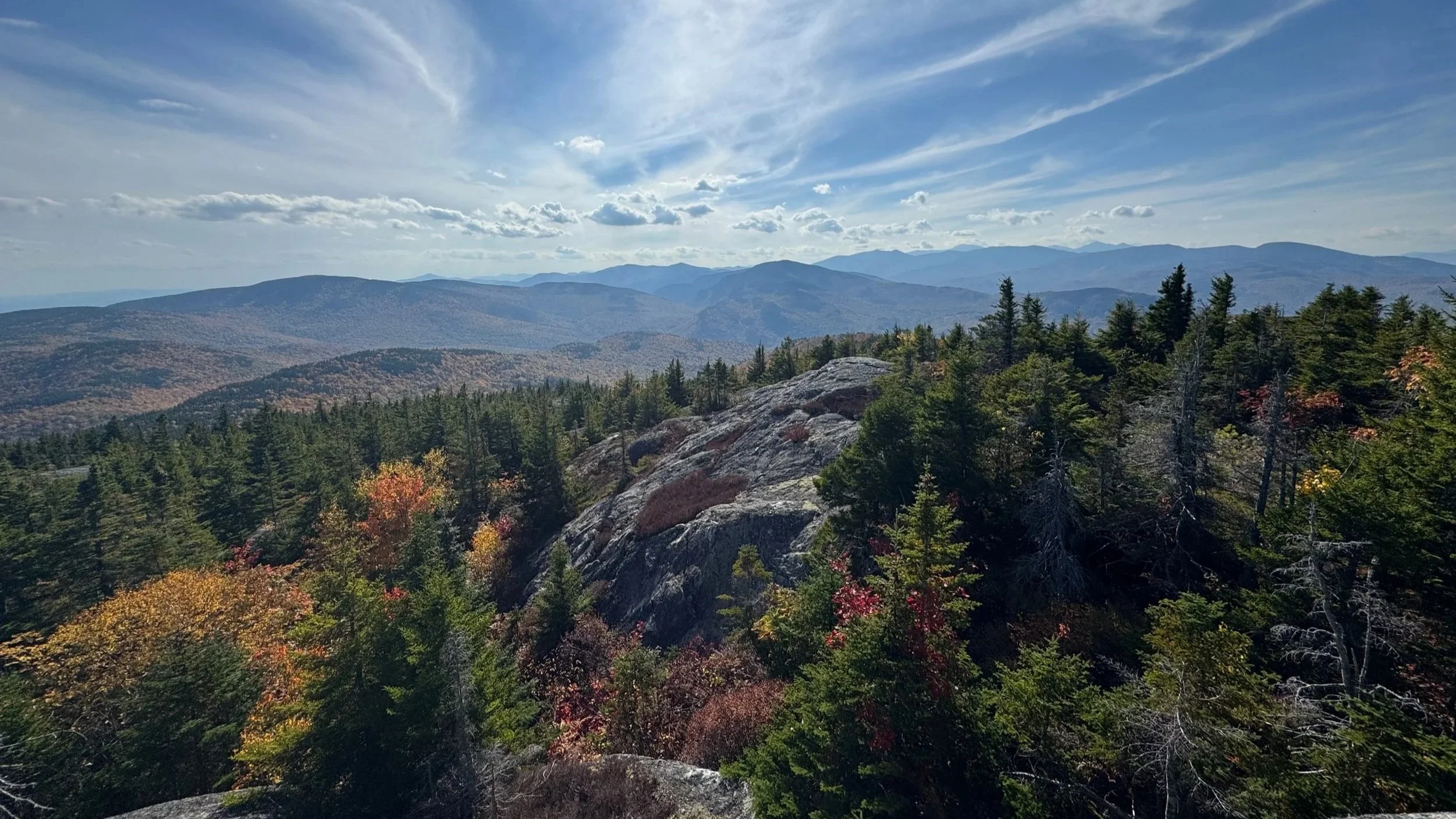
Alander’s summit is broad, open, and far more expansive than its wooded approach suggests. The views stretch across the southern Berkshires, Taconic Range, Hudson Valley, and toward the Catskills, making it an excellent final summit for this loop. After a long day of woods roads, ridge hiking, and junction-to-junction navigation, it is a great place to stop, eat, rehydrate, and take in the full route you have covered.
From Alander Mountain, descend the Alander Brook Trail toward Under Mountain Road. The upper descent is steep and drops into the Alander Brook ravine before the grade eases. Lower down, the trail follows old roadbed for easier walking, but stay attentive at the final junctions. Near the end, take the blue-marked trail toward the New York trailhead rather than continuing straight on a side route.
What to Know
This is not a casual loop just because the summits are lower than many Northeast hiking destinations. Thirteen miles, multiple steep climbs and descents, open sun-exposed ridge sections, and a number of trail intersections add up to a full mountain day.
We would recommend this hike for experienced hikers or well-prepared intermediate hikers who are comfortable with longer mileage, sustained elevation gain, and active navigation. Bring a current map, offline route information, plenty of water or a reliable filter, sun protection, layers, food, and enough daylight to finish without rushing.
The Alander and Brace Mountains Loop is one of those hikes that gives you a lot for the effort: two memorable summits, three-state geography, quiet trails, open views, historic features, and a true sense of moving through a large landscape. If you are looking for a long, scenic, and less-traveled hiking route in the southern Berkshires, this one deserves a place on your list.
For More Information on the Brace Mountain and Alander Mountain Loop:
More of our Hikes in Massachusetts on YouTube
More Hikes in the Berkshires
Hiking and Backpacking Gear List
Our Hiking Advice and Hiking Gear Recommendations
Important Hiking Considerations:
Weather: Check the weather forecast before your hike and be prepared for changes in conditions.
Safety: Some sections of trail can be steep and rocky, others can be muddy, so use caution and always watch your footing.
Leave No Trace: As with any outdoor activity, remember to follow the principles of Leave No Trace. Pack out any trash, stay on the trail, and be respectful of the natural environment.