Rounds Rock Loop – Hidden Gem of a Hike on Mount Greylock with Big Views
Rounds Rock Loop – Mount Greylock’s Hidden Gem with Big Views and an Easy Hike
Discover the Rounds Rock Loop on Mount Greylock — a short, quiet hike with sweeping Hoosac Valley views and an easy to walk trail.
Some hikes make you work hard for the payoff. Others, like the Rounds Rock Loop from Rockwell Road, surprise you with wide-open views without the summit crowds on a quick and easy walk from the trailhead.
The Rounds Rock Loop is one of the best family-friendly hikes on Mount Greylock, combining an under-the-radar trail with rewarding vistas and blueberry picking.
Finding the Rounds Rock Trailhead
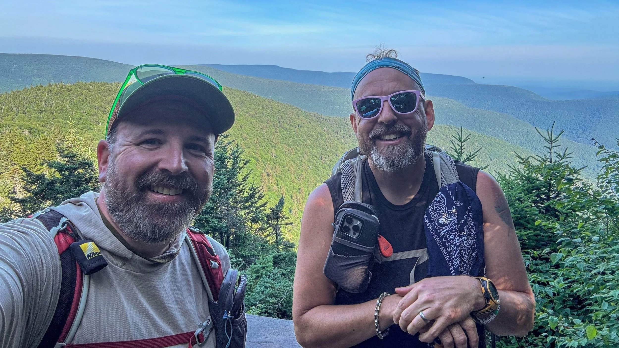
We started from a little pull-off along Rockwell Road in Mount Greylock State Reservation — the kind of spot you’d miss if you weren’t looking for it. There’s room for just a few cars, and the trail sign is modest, so it is easy to miss. From here, the Rounds Rock Trail slips into the woods and away from the pavement in just a few steps.
Rounds Rock Loop Trail Description
The trail climbs a bit as you leave the road and in less than two tenths of a mile you come to an unmarked trail junction, which is where the Rounds Rock Loop begins. We decided to hike the trail counterclockwise and after finishing it later, this would be the way we would recommend hiking the loop. The ascent is more gentle and it’s a relatively easy hike up to the height of land and vistas. From there, you’ll climb a bit more on the return and then drop more quickly back to the trail junction and then out to the car.
From the trail junction that begins the Rounds Rock Loop, the trail climbs, not a lung-buster, but a steady uphill that threads through mossy boulders and a pleasant deciduous forest. Before reaching the open blueberry patches and then vistas, the trail descends slightly to a muddy area, where you’ll find a small memorial to the pilot who was killed in a plane crash that occurred at that spot, along with some of the plane wreckage that’s slowly being taken over by the forest.
From the site of the plane crash, the trail climbs gently again and you’ll soon come out into several relatively open blueberry patches. If you visit this area in late July and August, there should be a ton of wild blueberries to enjoy along the way.
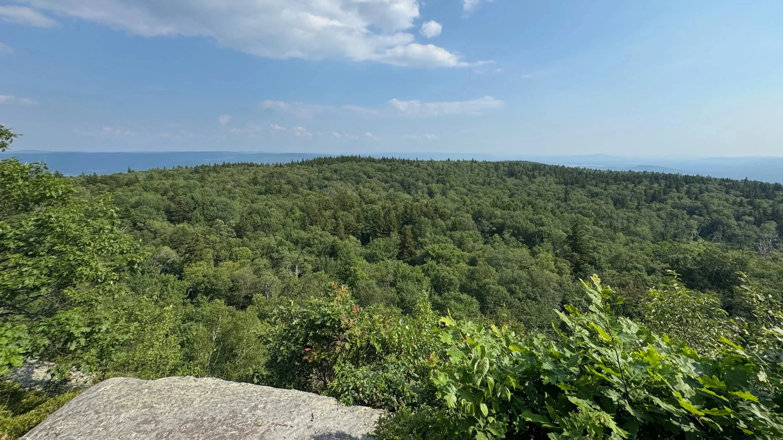
The trail comes to the second trail junction, this time with the Northrup Trail. You’ll stay to the left on the Rounds Rock Loop and very shortly come to the next trail junction with the side trail that descends a bit to the first view. This view is well worth visiting.
Returning to the Rounds Rock Loop you’ll continue hiking for a few tenths of a mile and then come to the next trail junction with a side trail to the second view. This view is even better than the first, with expansive views to the south.
You’ll return to the Rounds Rock Loop trail and descend a bit and pass through some swampy spruce forests on puncheon. The forested height of land is the top of the “Rounds Rock” but there’s very little to see there besides forest. From there you’ll begin descending back down to the first trail junction and then follow the trail out to Rockwell Road and your car at the trailhead.
Why We Loved Rounds Rock Loop
The Rounds Rock Loop is proof that not every great Mount Greylock hike has to hit the summit. Short, scenic, and full of character, it’s a great loop for the views and for the solitude.
Rounds Rock Loop Trail Summary
🧭 Trailhead: Round Rock Trailhead, Rockwell Road (Google Maps)
🗺️ Route: Rounds Rock Loop Trail
🥾 Distance: 1.2 miles round-trip
📈 Elevation Gain: ~130 ft
⚠️ Difficulty: Easy to moderate - a few muddy areas and short climbs and descents
🗺️ GPS Information: Trail Route in GPX Format
For More Information on Hiking the Rounds Rock Loop
You can find the Rounds Rock Loop on:
Find additional information about Mount Greylock State Reservation:
Hikes near Rounds Rock in the Berkshires
Gear we used on the Hike to Rounds Rock
Our Hiking Advice and Hiking Gear Recommendations
Some product links are affiliate links and we earn from qualifying purchases. Others are links through the Amazon Influencer program and as an Amazon Influencer, we earn from qualifying purchases. Still others, we just want you to know about some good gear we enjoy!
Important Hiking Considerations:
Weather: Check the weather forecast before your hike and be prepared for changes in conditions.
Safety: Some sections of trail can be steep and rocky, others can be muddy, so use caution and always watch your footing.
Leave No Trace: As with any outdoor activity, remember to follow the principles of Leave No Trace. Pack out any trash, stay on the trail, and be respectful of the natural environment.
Explore more hikes in the Berkshires and the rest of Massachusetts with our Hike Massachusetts video playlist on YouTube!