Hiking Shelburne Moriah Mountain via the Shelburne, Kenduskeag, and Rattle River Trails
Hiking Shelburne Moriah Mountain
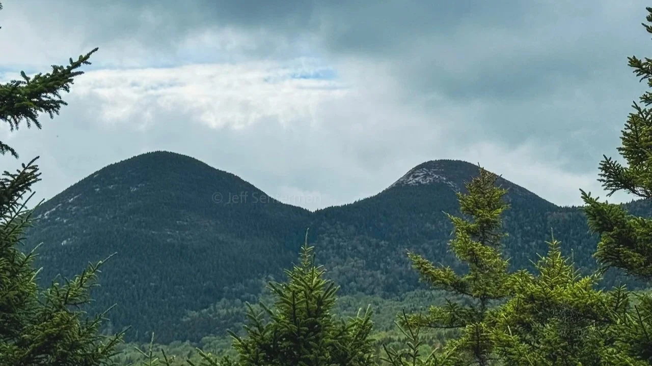
Shelburne Moriah Mountain is one of the quieter big-view hikes in New Hampshire’s White Mountains. At 3,735 feet, it is part of the 52 With a View list and sits at the northern end of the Carter–Moriah Range, where open ledges, small alpine bogs, and broad views make the summit feel much bigger than its elevation suggests.
For this hike, we set up a two-car shuttle and hiked Shelburne Moriah as a point-to-point traverse. We started at the Shelburne Trailhead just off of Route 2, followed the Shelburne Trail to its junction with the Kenduskeag Trail, continued over the summit of Shelburne Moriah Mountain, and then stayed on the Kenduskeag Trail to its intersection with the Rattle River Trail (which is also the Appalachian Trail). From there, we followed the Rattle River Trail out to the Rattle River Trailhead, where we had left our second car.
This route is a long and demanding full-day hike, but the traverse is a great way to experience more of the mountain than a simple out-and-back. Instead of retracing the long Shelburne Trail approach after the summit, you continue north across the ridge and descend through the Rattle River drainage on the other side.
Hike at a Glance
Starting trailhead: Connor Brook Trailhead on Connor Brook Road in Shelburne, New Hampshire
Ending trailhead: Rattle River Trailhead on Route 2 in Shelburne, New Hampshire
Route: Shelburne Trail to Kenduskeag Trail to Rattle River Trail
Route type: Point-to-point traverse; requires a two-car shuttle or arranged transportation
Distance: Approximately 11–12 miles, depending on exact route tracking
Elevation gain: About 3,000 feet
Difficulty: Strenuous
Summit elevation: 3,735 feet
Highlights: Long forest approach, steady climbing, bog bridges, exposed ledges, alpine vegetation, a 52 With a View summit, and a varied descent along the Rattle River corridor
Two-Car Shuttle Logistics
Because this is a car-to-car hike, we parked one vehicle at the Rattle River Trailhead on Route 2 before driving to the Connor Brook Trailhead to begin the hike. Both trailheads are in the Shelburne/Gorham area, but they are not close enough to make walking between them a practical finish after a full day on the trail.
Starting on the Shelburne Trail
The hike begins at the Connor Brook Trailhead at the end of Connor Brook Road off of Route 2, east of Gorham and just west of the Maine border. From the trailhead, the Shelburne Trail begins with a long, relatively gentle approach on an old logging road. This lower section does not feel especially steep, but it covers real distance and should not be underestimated, especially when you know there is still a sustained climb waiting later in the day.
The old road gradually transitions into a narrower forest trail as the route works deeper into the mountain. The trail stays mostly moderate for a while, moving through mixed woods and following the general line of the drainage before it begins to climb more noticeably. This is the section where it pays to settle into a sustainable pace and avoid burning through your energy too early.
The Shelburne Trail is generally less rocky than some of the more relentlessly rugged White Mountains approaches, but it is still a long way to the ridge. One of the best parts of this route is the sense of getting farther from the road and deeper into a quieter part of the range.
Climbing to Kenduskeag Trail
Higher on the Shelburne Trail, the grade becomes more sustained as the route climbs toward its junction with the Kenduskeag Trail. The trail steepens, and the forest begins to feel more northern and enclosed, with spruce and fir becoming more prominent as you gain elevation.
This is the main climbing section of this section. Expect a steady uphill push rather than a single short climb, with roots, rocks, wet ground, and uneven footing that can slow progress. In wet conditions, the trail can be slick, and during shoulder season, mud, lingering snow, and ice can remain higher on the mountain even when the trailhead area is dry.
At the junction, turn right onto the Kenduskeag Trail and continue toward Shelburne Moriah Mountain. This marks a real transition in the hike: the long lower approach is behind you, and the route begins to move through the ridge terrain that defines the upper mountain.
Across the Kenduskeag Trail
The Kenduskeag Trail carries the route up the ridge toward the summit of Shelburne Moriah. This section moves through spruce and fir forest, crosses wet areas on bog bridges, and passes several small knobs, ledges, and openings before reaching the summit.
Do not expect the ridge to be flat. The Kenduskeag Trail continues to rise and fall, and the wet, rooty, and occasionally muddy tread requires attention. Some of the flatter stretches can hold standing water, especially around the boggy areas, so be prepared for muddy shoes and slower travel.
The views begin to appear before the actual summit. Small openings in the trees offer a preview toward the northern Presidential Range, the Carter–Moriah ridgeline, the Wild River country, and the mountains extending east toward Maine. As you get closer to Shelburne Moriah, the forest opens more frequently and the trail begins to take on the ledgy, alpine character that makes the peak stand out.
The Summit of Shelburne Moriah
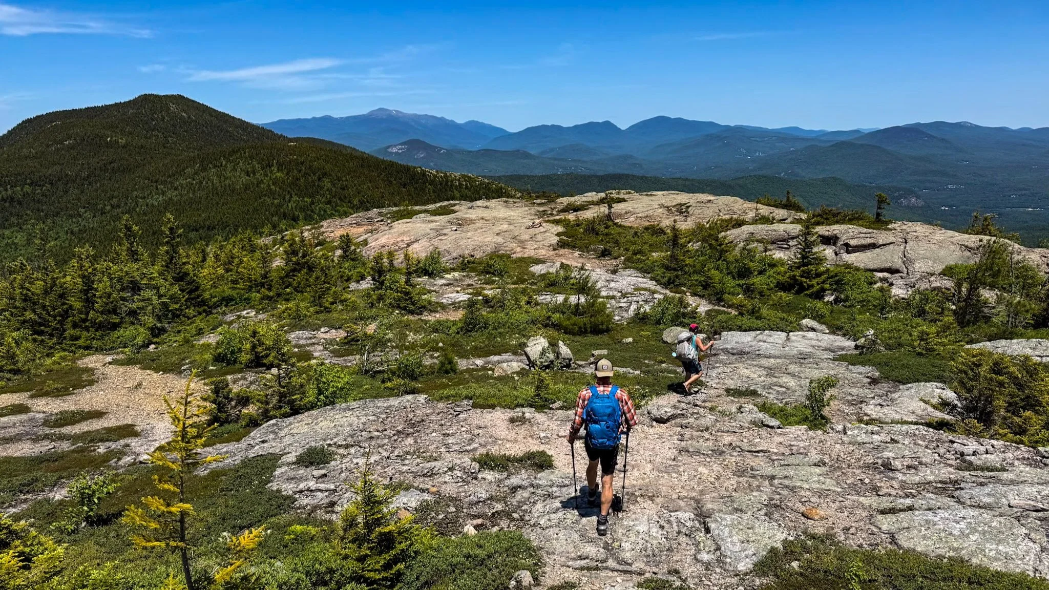
Shelburne Moriah’s summit is a broad, open area of rock ledges and alpine vegetation, with enough room to spread out, take a break, and enjoy the views. Rather than one narrow summit point, the mountain offers a wider stretch of open terrain where you can move around and take in different angles of the surrounding landscape.
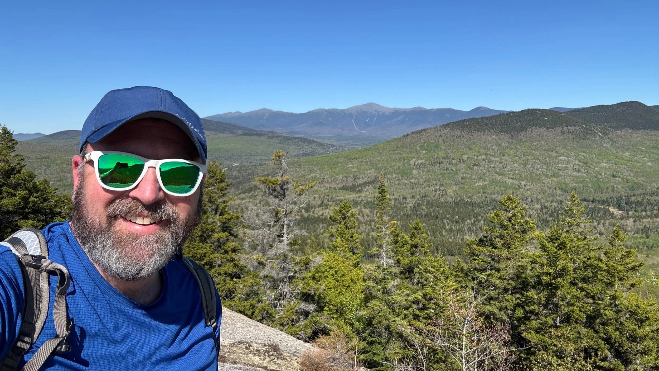
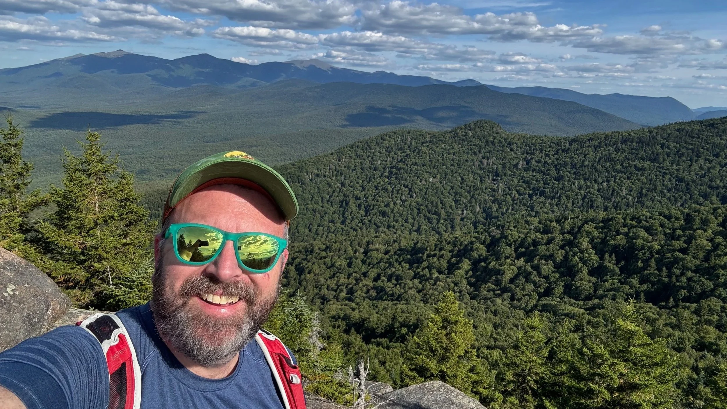
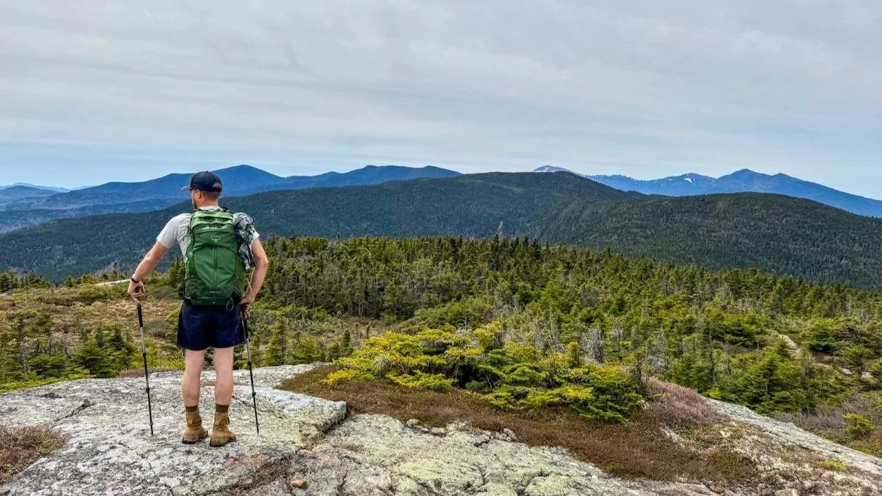
From the ledges, you can look toward the northern White Mountains, the Presidential Range, the Carter–Moriah ridge, Mount Moriah, and the wild country around the Wild River. The open summit gives Shelburne Moriah a much larger feel than many other peaks at a similar elevation.
This is a great summit for hikers working on the 52 With a View list, but it is worth the effort whether or not you are chasing a challenge. The route combines a long approach, sustained climbing, quiet ridge travel, bog bridges, open ledges, and a summit that feels earned.
Descending the Rattle River Trail
After leaving the summit, continue north on the Kenduskeag Trail rather than turning back toward the Shelburne Trail. The route descends, but stays on the ridge for a while before reaching the junction with the Rattle River Trail.
At the Rattle River Trail junction, turn right toward Route 2 and begin the long descent. This section changes the feel of the hike again. After the open, wet, and sometimes muddy ridge terrain, the Rattle River Trail drops through forest and eventually follows the Rattle River drainage back toward the trailhead.
The descent is long enough that it can be tough on tired knees, especially after the climb from the Shelburne side and the rolling terrain on Kenduskeag. Take your time on wet roots, rocks, and uneven trail tread. In periods of rain or high water, the lower river corridor can be especially wet, and stream crossings or muddy sections may slow the return.
Partway down the Rattle River Trail, you pass the Rattle River Shelter, a backcountry shelter and designated camping area located along the Appalachian Trail corridor. The site includes the shelter itself, designated tent sites for overflow camping, and a privy.
As the Rattle River Trail passes the shelter, the grade eases and the route settles into a more gradual finish through the forest. The trail eventually reaches the Rattle River Trailhead after two more miles, where the shuttle car makes for a very welcome end to a full mountain day.
Planning Notes
This route is best for hikers who are comfortable with full-day mileage, sustained elevation gain (and loss), and a point-to-point hiking plan with two cars. While Shelburne Moriah is below 4,000 feet, the total distance, long climb, muddy ridge terrain, and extended descent make this a substantial White Mountains objective.
Set up the car shuttle before starting. Leave one vehicle at the Rattle River Trailhead and drive the other to the Connor Brook Trailhead.
Bring a reliable map and offline navigation. The route is straightforward when you know the trail sequence, but this is a remote and lengthy hike .
Carry enough water or bring a filter. Water will be available along the lower portions of both the Shelburne and Rattle River trails, but may or may not be available at higher elevations on the long ridge crossing.
Expect wet and muddy footing on the Kenduskeag Trail, particularly around the bog bridges and flatter ridge sections.
Pack layers for the summit. The open ledges can be windy and much cooler than the forest below.
Plan for a full day.
Final Thoughts
Hiking Shelburne Moriah as a Shelburne Trail–Kenduskeag Trail–Rattle River Trail traverse is a great way to experience the full character of this part of the White Mountains. The route begins with a long wooded approach, climbs steadily through spruce and fir, climbs and crosses a quiet and boggy ridge, reaches one of the best open summits in the northern Whites, and finishes with a completely different descent along the Rattle River.
If you have the ability to set up a two-car shuttle, this point-to-point route is more interesting and more complete than simply going up and back the same way. It is a long day, but Shelburne Moriah rewards the effort with solitude, variety, and big White Mountains views.
For More Information About the Shelburne Moriah Hike
More Hikes near Shelburne Moriah Mountain
Hiking and Backpacking Gear List
More of our White Mountains hikes on YouTube
Important Hiking Considerations:
Weather: Check the weather forecast before your hike and be prepared for changes in conditions.
Safety: Some sections of trail can be steep and rocky, others can be muddy, so use caution and always watch your footing.
Leave No Trace: As with any outdoor activity, remember to follow the principles of Leave No Trace. Pack out any trash, stay on the trail, and be respectful of the natural environment.