Shady Lake Trail – Hidden Hiking Gem in Arkansas’ Ouachita Mountains
Shady Lake Loop, one of the Hidden Hiking Gems in Arkansas’ Ouachita Mountains
Explore Shady Lake Trail in Arkansas’ Ouachita Mountains. Easy 3.5-mile family friendly loop hike with lakeside views, CCC dam, creek crossings, and hidden forest beauty.
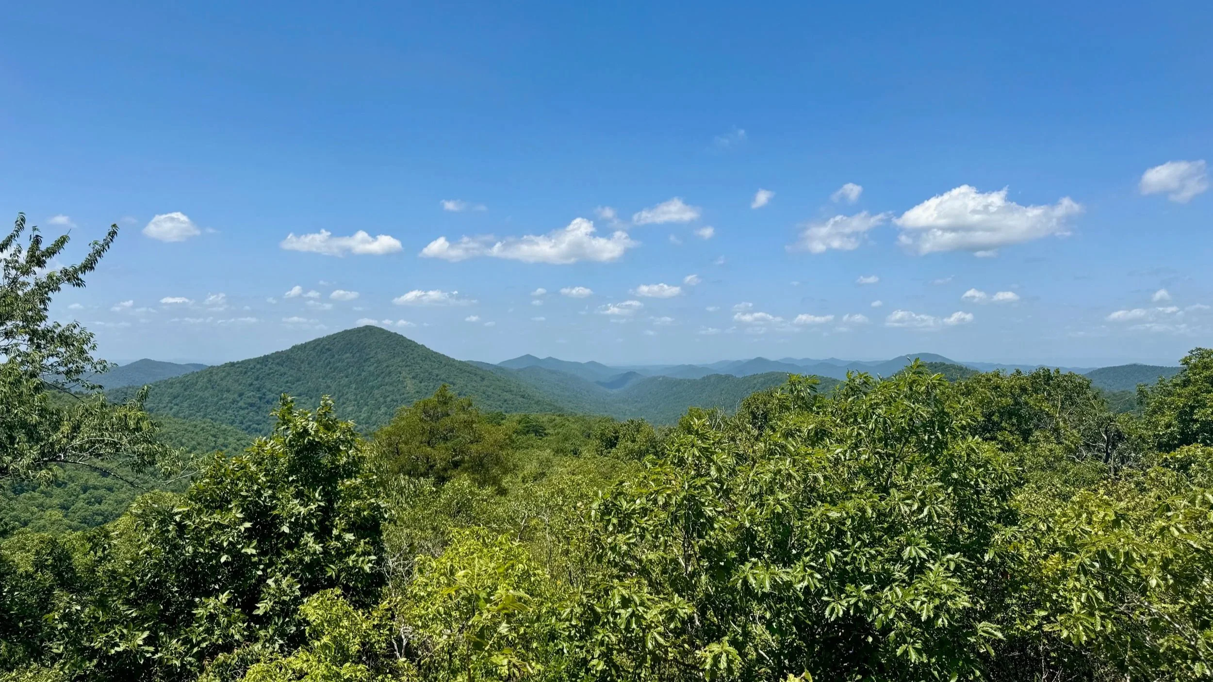
If you’re hunting for a quiet, scenic hike in Arkansas, the Shady Lake Trail in the Ouachita Mountains is exactly the kind of hidden gem that makes you fall in love with the outdoors all over again. Nestled in the Shady Lake Recreation Area of the Ouachita National Forest, this 3.2-mile loop wraps around a sparkling mountain lake, meanders past the historic CCC-built Shady Lake Dam, and winds through lush forest trails dotted with creek crossings and small waterfalls.
Shady Lake Trail Experience
The loop is easy-to-moderate, perfect for families, dogs on leashes, or casual hikers looking for a peaceful day outdoors. Starting from the Shady Lake Campground, you’re quickly enveloped in forested tranquility with birdsongs, rustling leaves, and the gentle sounds of water lapping on the lake shore.
Much of the trail hugs the shoreline, giving plenty of opportunities to pause, take photos, or dip your toes in the water. Along the way, you’ll spot the charming Saline Creek and, of course, the historic Shady Lake Dam, a nod to the Civilian Conservation Corps’ craftsmanship during the 1930s.
Shady Lake Trail Description
We began our hike from our campsite on the C-Loop of the Shady Lake Campground. Our campsite was just above Saline Creek, so we crossed and jumped on the Shady Lake Trail from there. After intersection the loop, we headed towards the damn and outlet of Shady Lake.
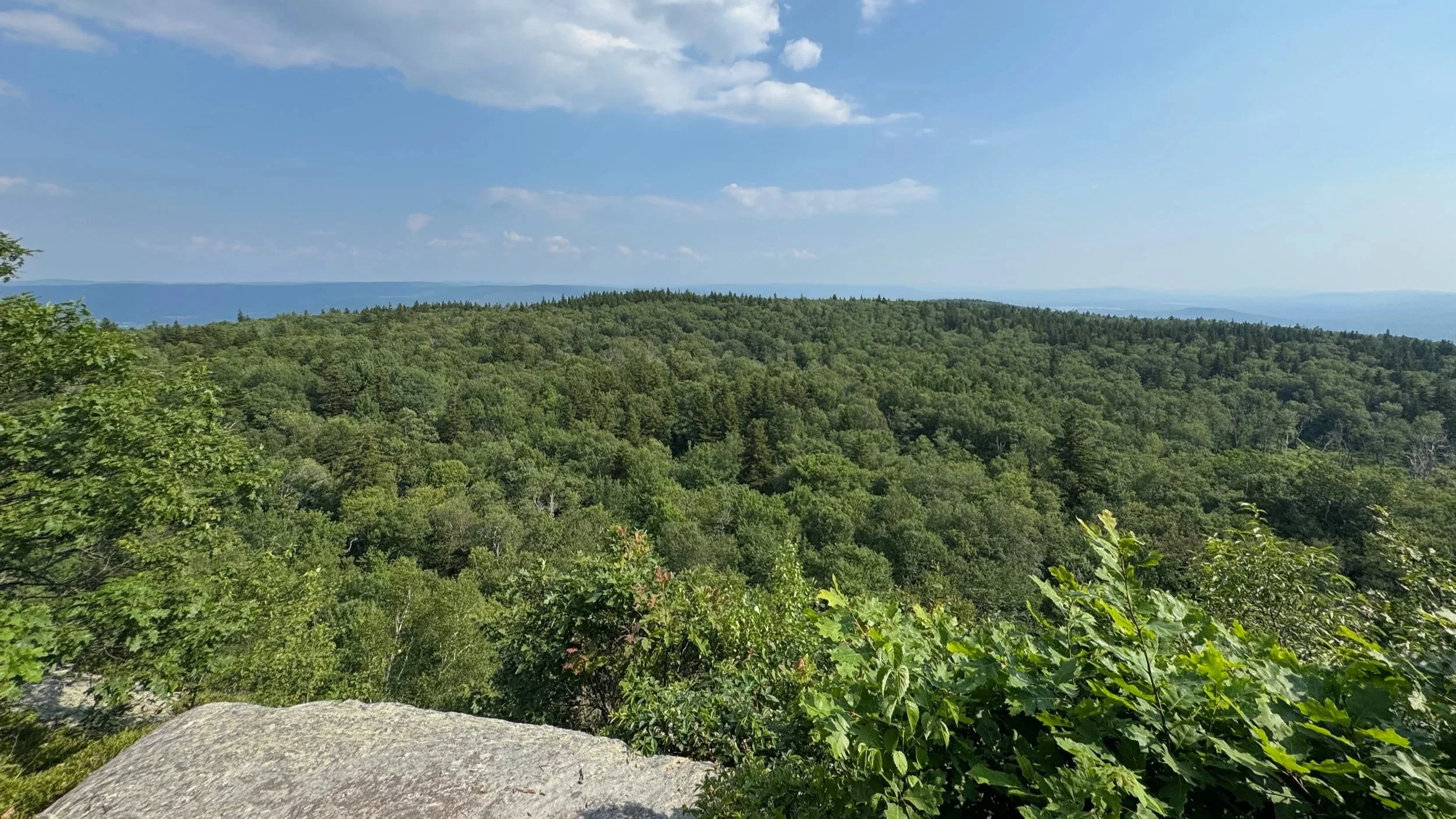
From Saline Creek the trail ascends a ridge that runs alongside the lake. At one time there were viewpoints cut at the tops of the ridge, but time has let the trees grow back. Now you only have glimpses of the lake below through the trees.
The trail then descends down to a point above the lake where there’s a bench for you to sit and enjoy the view. The trail then ascends slightly before descending again to the outlet of Shady Lake just below the dam that was constructed by the CCC back in the 1930s.
It took us a bit of looking around to figure out where best to cross the creek due to flood damage. This is best done in low water and in high water, this crossing would be difficult if not possible to do.
After crossing the creek, the trail climbs up to and then follows Polk County Road6 64 a few hundred feet to an observation platform above the lake and the dam. This is a great spot for a snack and to get some pictures.
The trail descends slightly from the observation area, paralleling the County Road, but descending down to the lakeshore. From there the trail follows the lake shore until it reaches one of the inlets of the lake, which it follows back up to the County Road and crosses the creek on the road. Quickly re-entering the woods, the trail follows an old road up and over a ridge, before becoming rougher, descending and then climbing back up to the access road into the Shady Lake Recreation Area.
From there the trail crosses the road, and re-enters the woods. It makes its way around the outside of the campground, crossing another inlet to the lake, before beginning to ascend via a series of large switchback to the top of a hill and then begins to descend to a crossing with Saline Creek. After crossing the creek, the trail begins following it downstream towards the lake and we came to the point where our campsite was across the creek.
Why We Loved the Shady Lake Trail Loop
This hike isn’t about conquering mountains or breaking speed records. The Shady Lake Trail is about slowing down, soaking up the Ouachita forest, and discovering a corner of Arkansas that feels almost secret.
Shady Lake Trail Loop Summary
🧭 Trailhead: Shady Lake Campground in Shady Lake Recreation Area (Google Maps)
🗺️ Route: Shady Lake Trail
🥾 Distance: 3.5 miles round-trip
📈 Elevation Gain: ~460 feet
⚠️ Difficulty: Easy - a few muddy areas, short climbs, and short and descents
🗺️ GPS Information: Trail Route in GPX Format
For More Information on Hiking the Shady Lake Trail Loop
You can find the Shady Lake Trail on:
Hikes near Shady Lake in the Ouachitas
Gear we used on the Hike to Rounds Rock
Our Hiking Advice and Hiking Gear Recommendations
Some product links are affiliate links and we earn from qualifying purchases. Others are links through the Amazon Influencer program and as an Amazon Influencer, we earn from qualifying purchases. Still others, we just want you to know about some good gear we enjoy!
Important Hiking Considerations:
Weather: Check the weather forecast before your hike and be prepared for changes in conditions.
Safety: Some sections of trail can be steep and rocky, others can be muddy, so use caution and always watch your footing.
Leave No Trace: As with any outdoor activity, remember to follow the principles of Leave No Trace. Pack out any trash, stay on the trail, and be respectful of the natural environment.